CANEY CREEK STATE WILDLIFE MANAGEMENT AREA
CANEY CREEK STATE WILDLIFE MANAGEMENT AREA
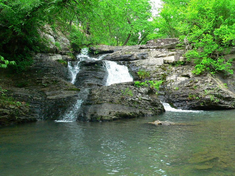
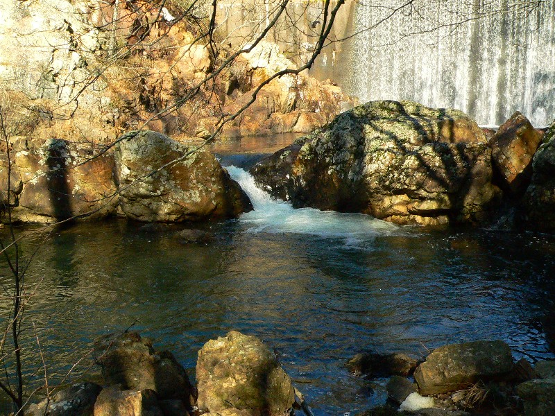
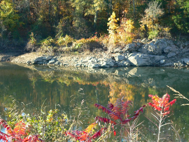
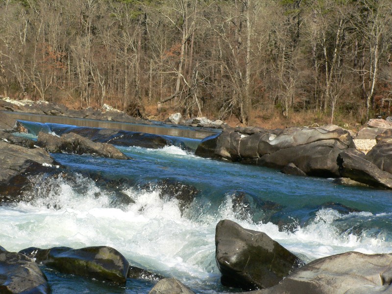
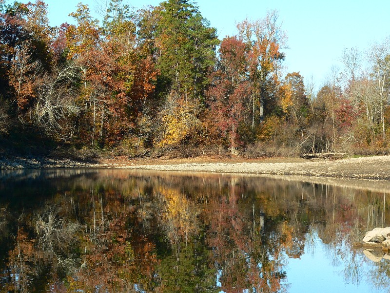
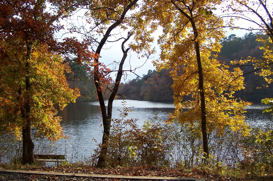
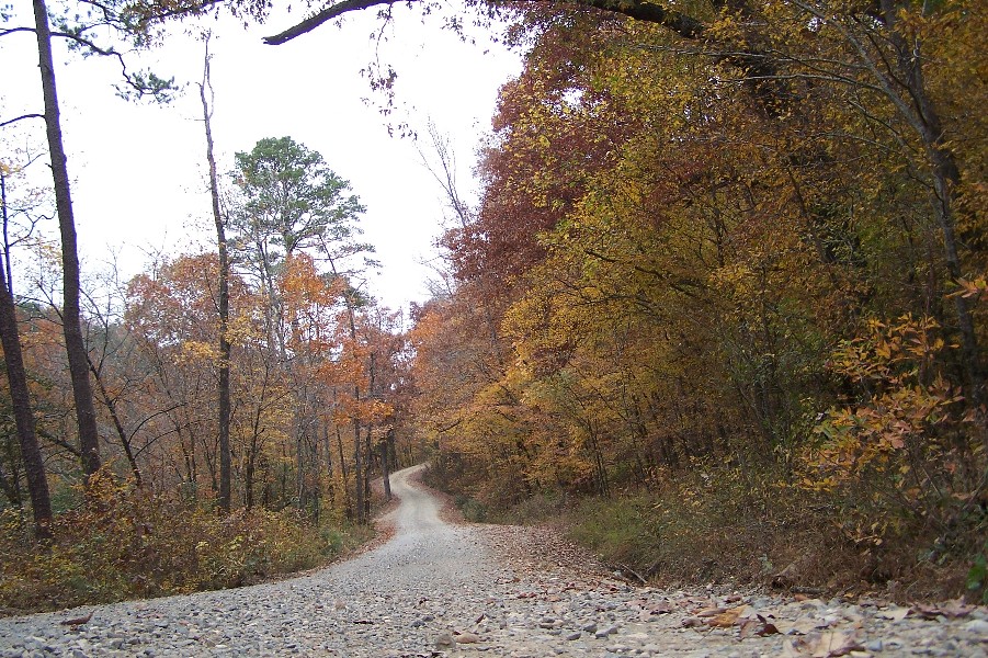
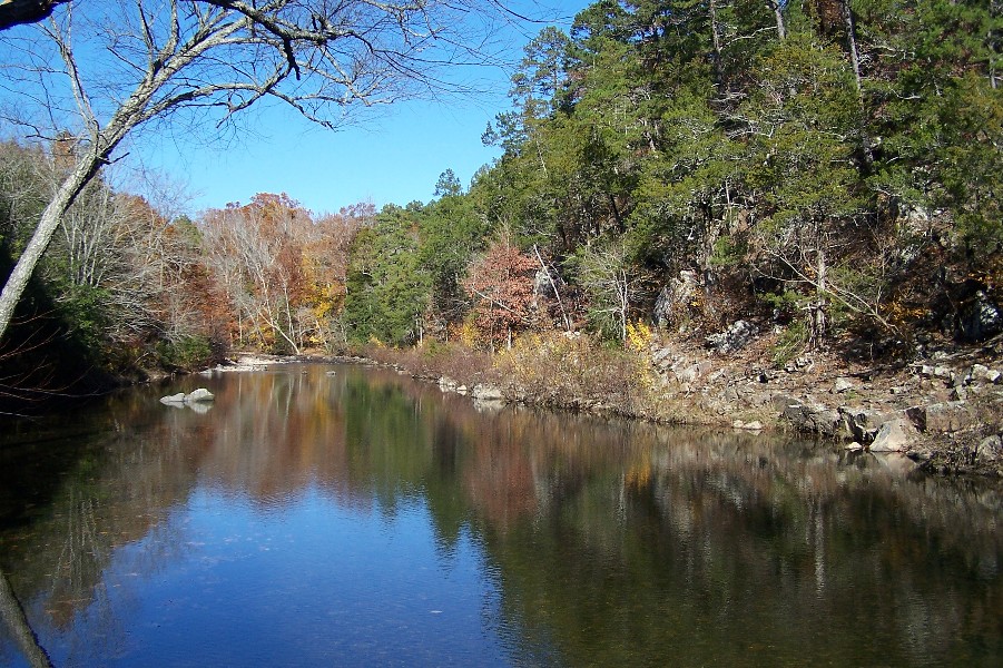
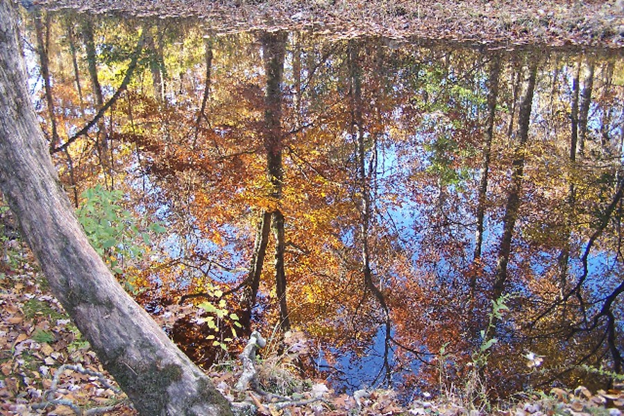
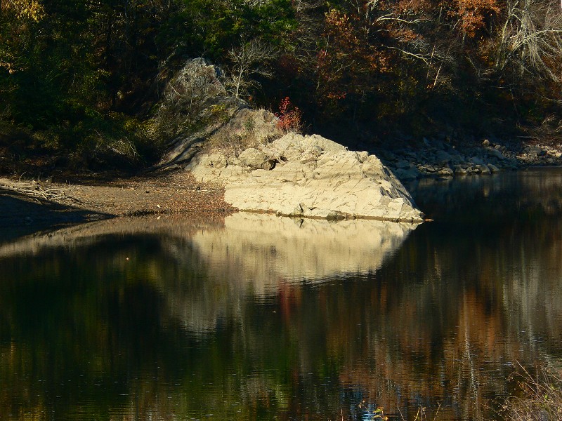
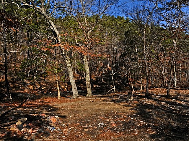
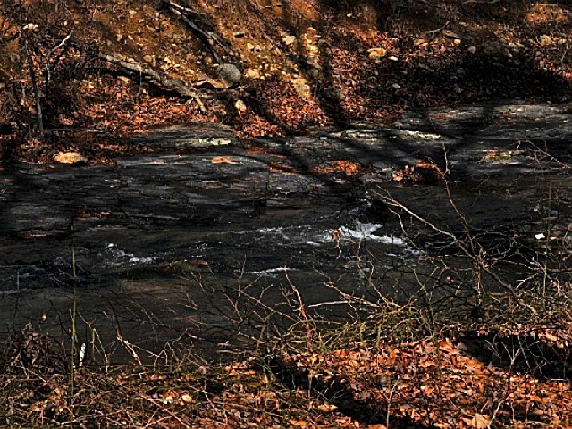
Caney Creek consists of 85,000 acres of rugged mountain terrain and narrow valleys which form theheadwaters of the Little Missouri and Cossatot Rivers. The predominant timber types on the area are upland hardwoods, short leaf pine and mixed hardwood. Typical of the Ouachitas, the ridges run in an east-west fashion. Hardwoods are generally found on the north and east aspects of the mountains while pine occupies the south and west aspects. In addition to the Little Missouri and Cossatot rivers, there are several smaller streams on the management area. These include Caney Creek, Short Creek, Sugar Creek, Mine Creek, Straight Creek, Crooked Creek, Long Creek, Blaylock Creek and East Saline Creek. One man-made lake, Shady Lake, is located on the south side of the management area.


 Share Your Caney Creek State Wildlife Management Area Photos (click here)
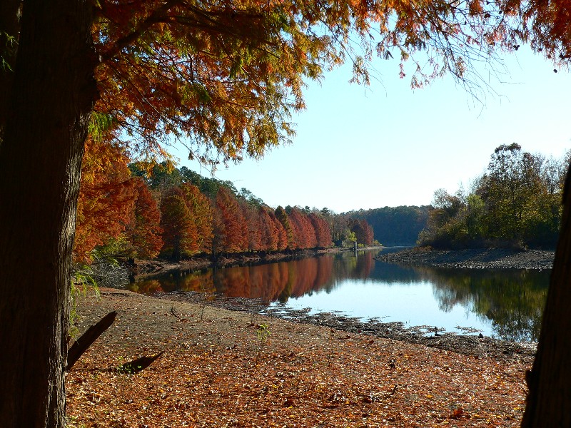