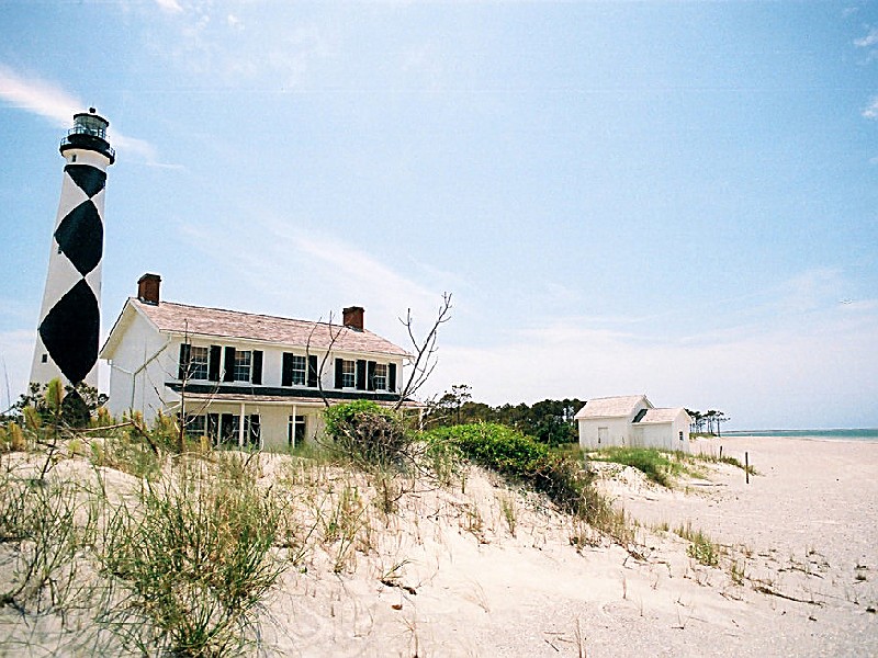
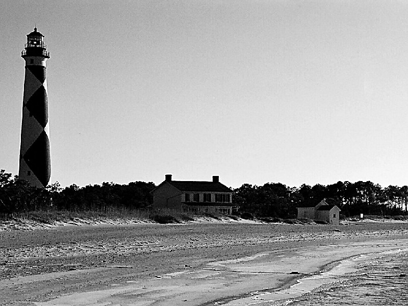
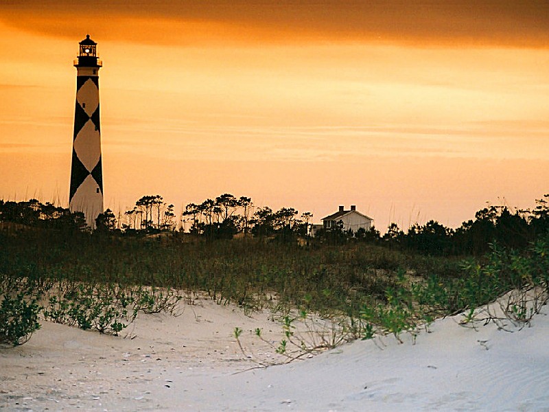
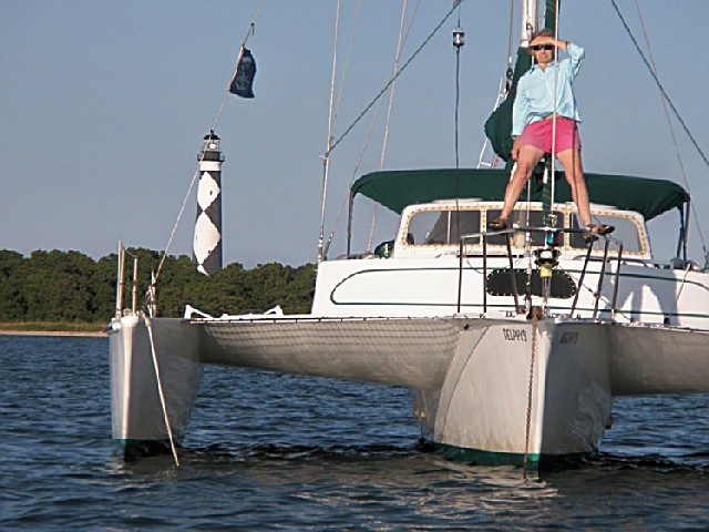
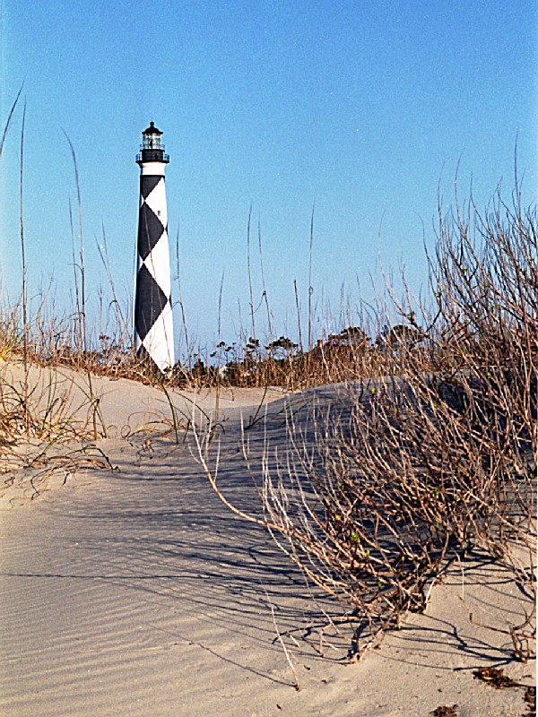
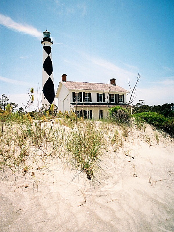
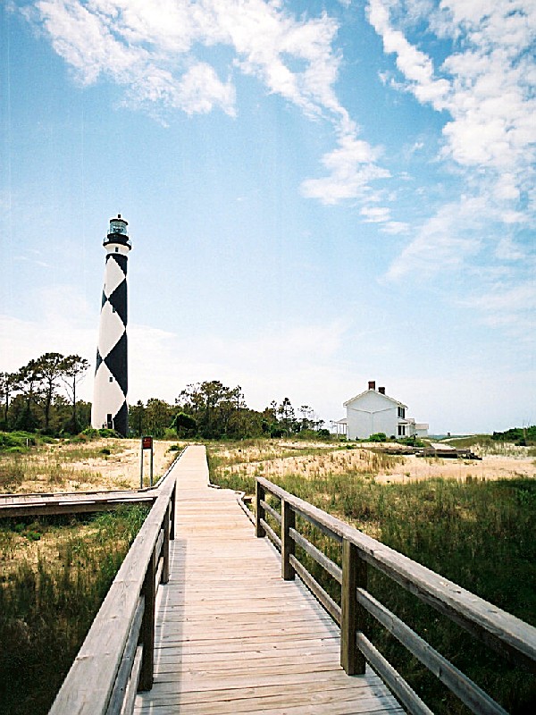
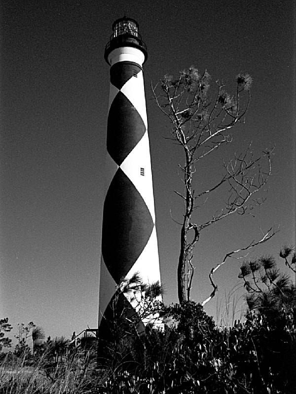
CAPE LOOKOUT NATIONAL SEASHORE
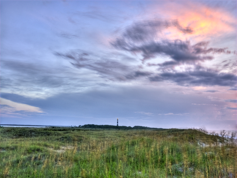
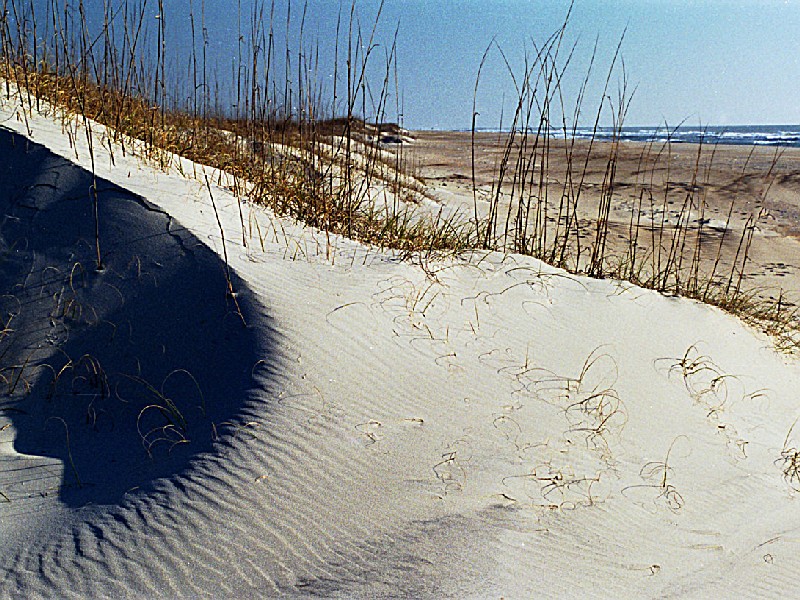
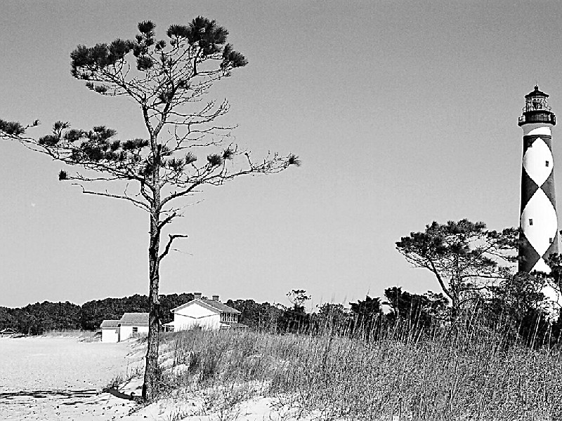
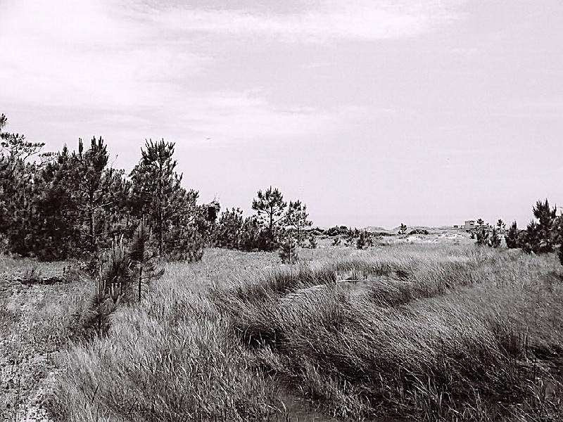
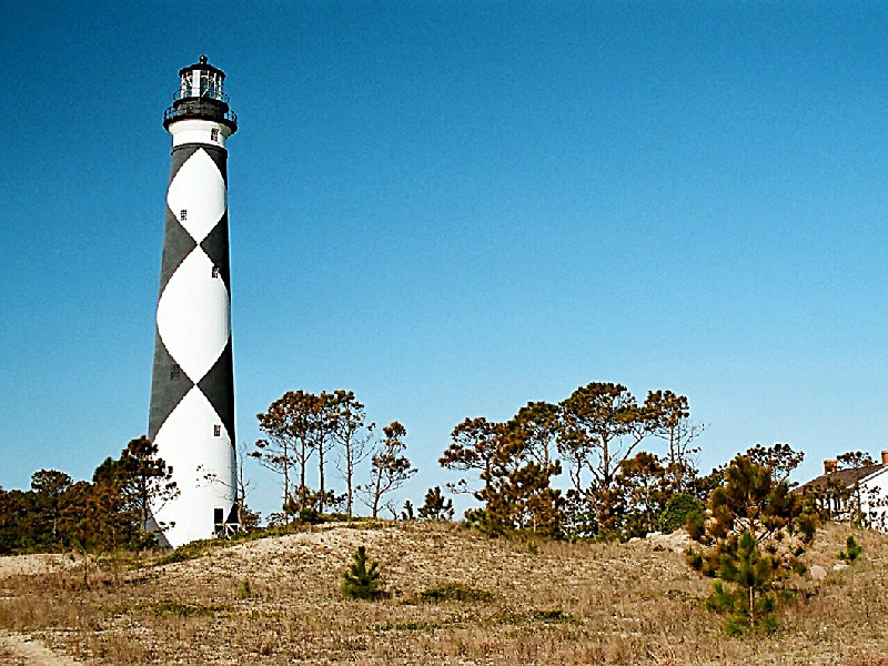
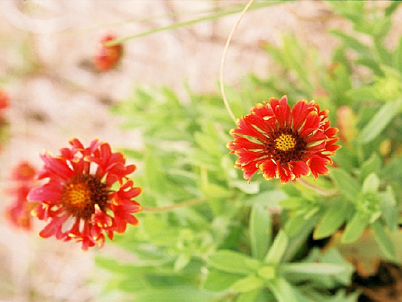
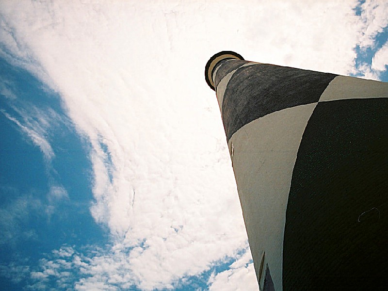
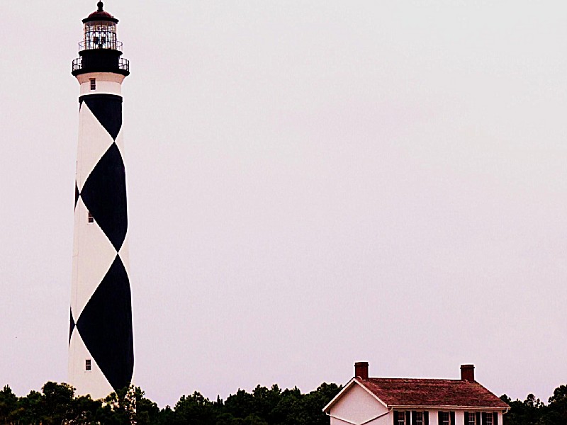
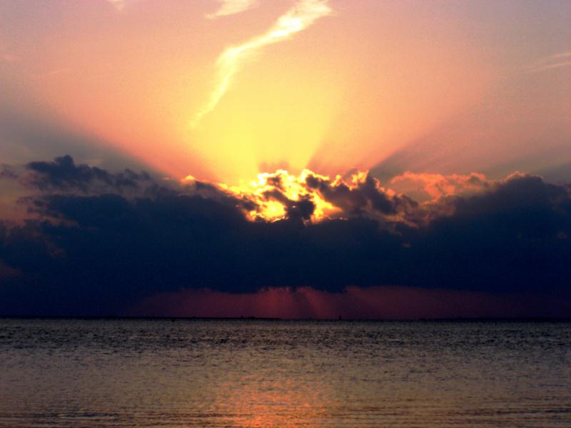
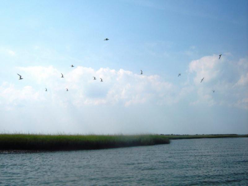
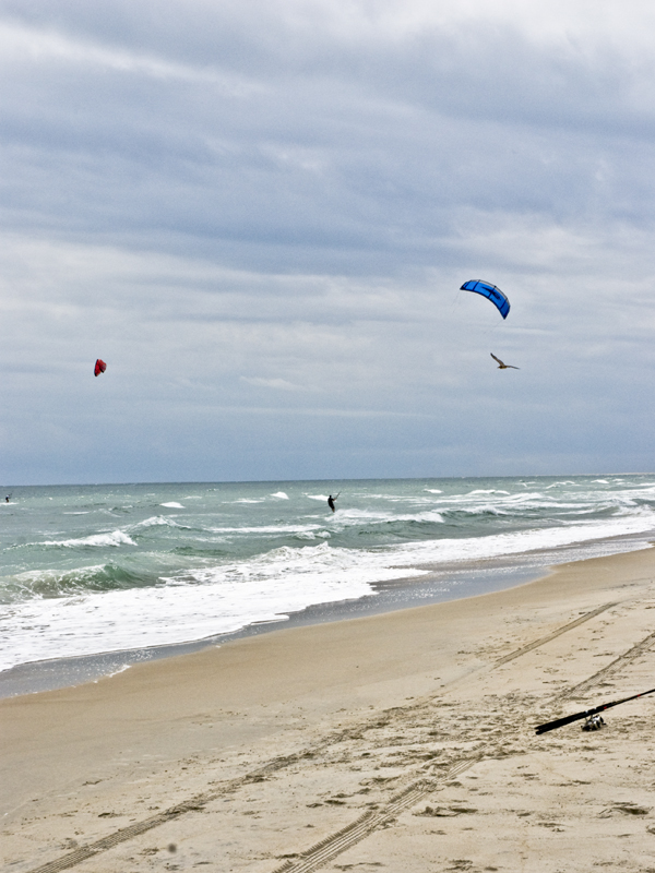
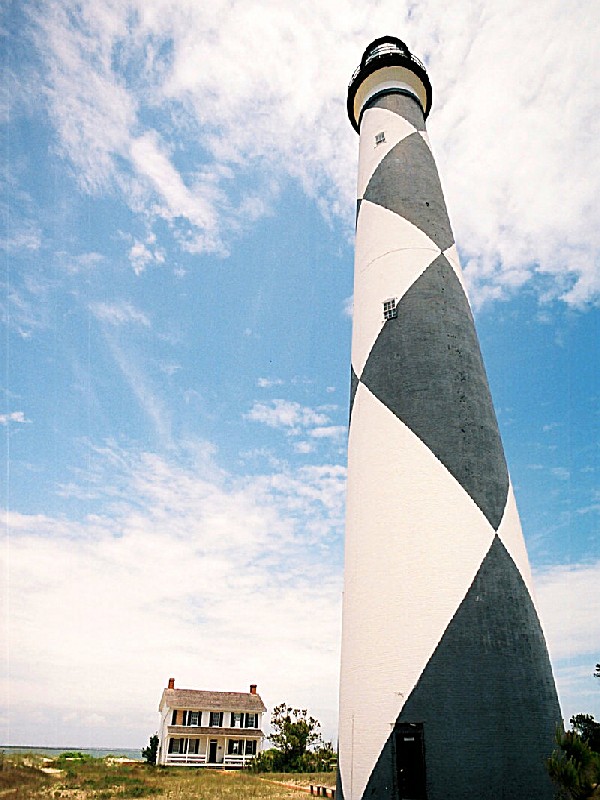
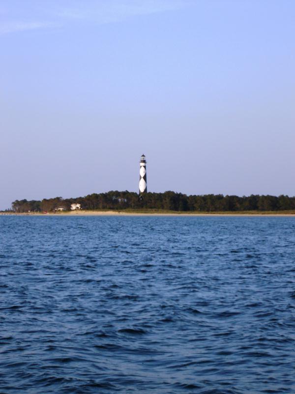
The seashore is a 56 mile long section of the Outer Banks of North Carolina running from Ocracoke Inlet on the northeast to Beaufort Inlet on the southeast. The three undeveloped barrier islands which make up the seashore - North Core Banks, South Core Banks and Shackleford Banks - may seem barren and isolated but they offer many natural and historical features that can make a visit very rewarding <P>
Day-UseFishingyes
Huntingyes
Picnickingyes
Cape Lookout National Seashore is located near Beaufort, Morehead City and Newport
Car - Cape Lookout National Seashore's Visitor Center is located on the eastern end of Harkers Island, approximately 20 mi (30 km) east of Beaufort, NC and 30 mi (50 km)south of the Cedar Island terminus of the North Carolina State Ferry route from Ocracoke Island to Cedar Island.
From Beaufort: Take U.S. 70 east to Harkers Island Road (SR 1332/SR 1335).
From Cedar Island: Take SR 12 south past the Atlantic turnoff to US 70 west. Continue on US 70 to Harkers Island Road (SR1332/SR 1335) .
Follow Harkers Island Road until it terminates. On the left is the two-story visitor center.
Public Transportation - Cape Lookout National Seashore is accessible only through private ferries leaving from Harkers Island, Davis, Atlantic, Beaufort, Morehead City and Ocracoke or your personal boat.
Ferries leaving from the communities of Harkers Island, Beaufort, Morehead City and Ocracoke, NC carry passengers only. The ferries from Davis and Atlantic, NC can transport passengers and 4-wheel drive vehicles. For additional information call (252)728-2250, 8:30 AM - 4:30 PM ET. After hours a recording will give you a list of the ferry operators.


 Share Your Cape Lookout National Seashore Photos (click here)
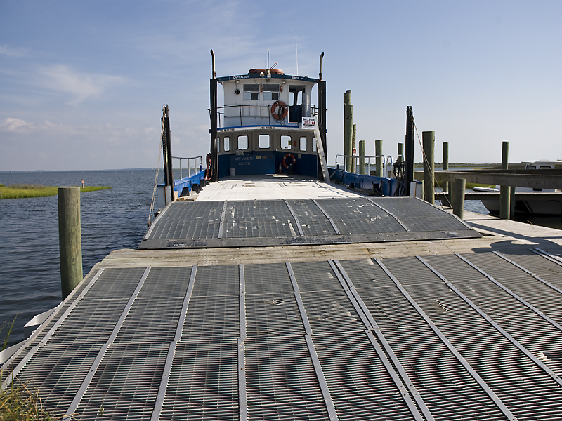