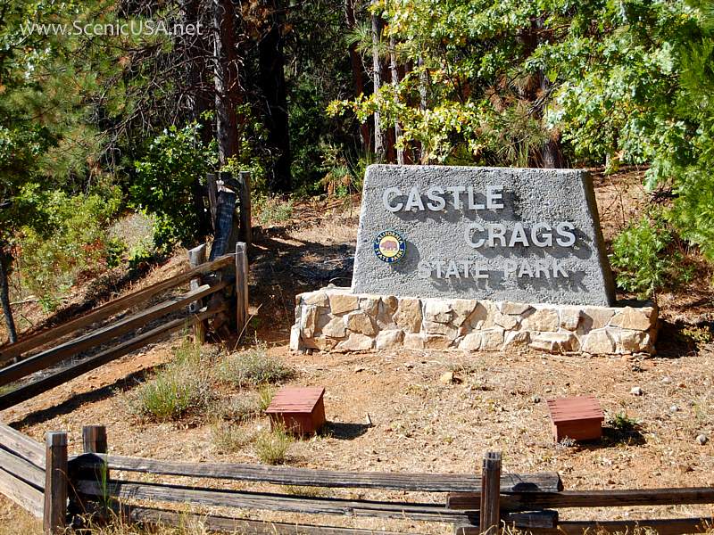
CASTLE CRAGS STATE PARK
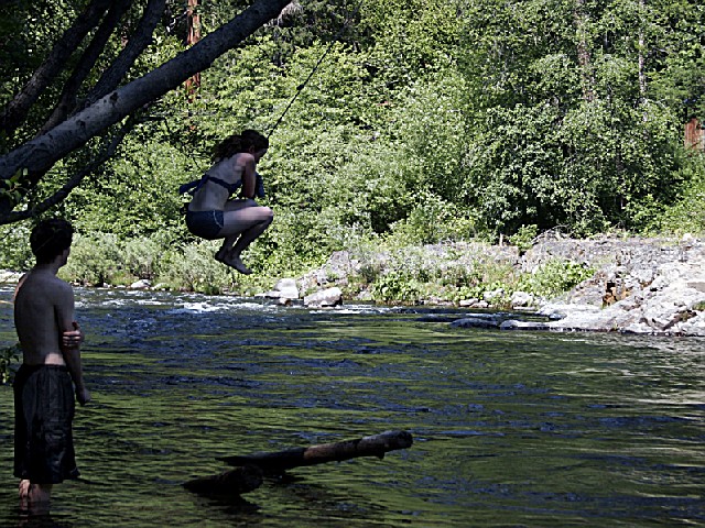
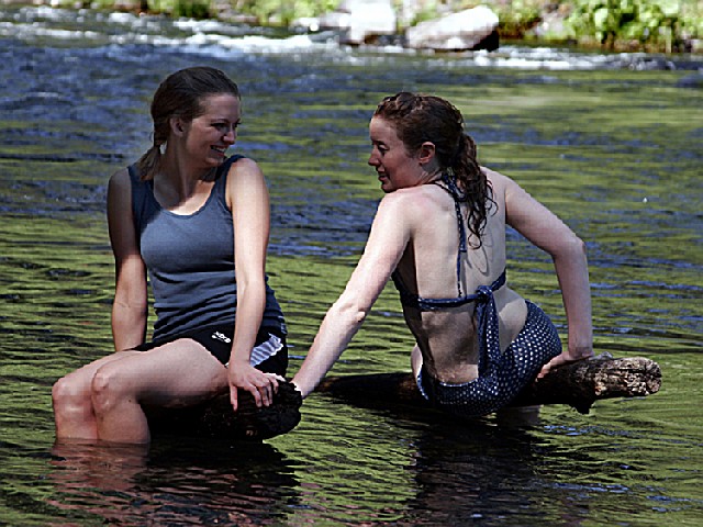
The park offers swimming and fishing in the Sacramento River, hiking in the back country, and a view of Mount Shasta. There are 76 developed campsites and six environmental campsites.
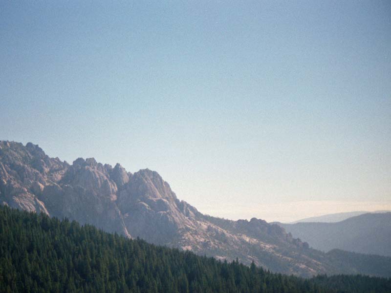
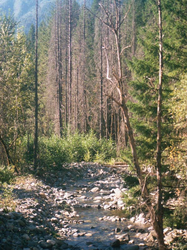
The 4,350-acre park features 28 miles of hiking trails, including a 2.7 mile access trail to Castle Crags Wilderness, part of the Shasta-Trinity National Forest. The Pacific Crest Trail also passes through the park.
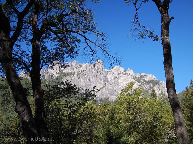
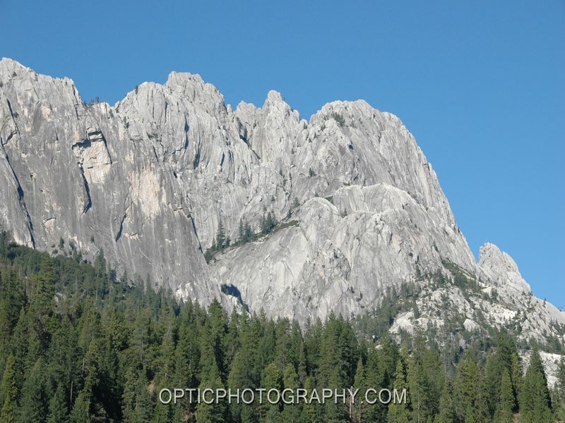
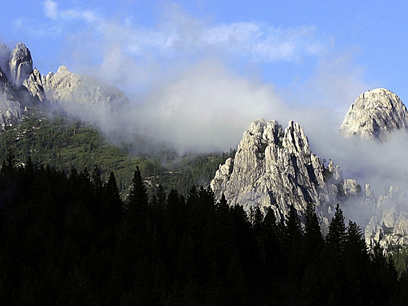
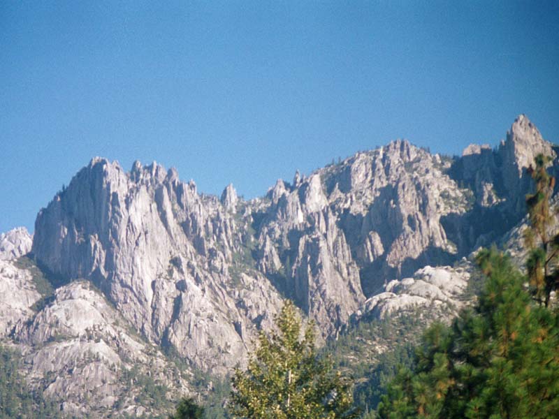
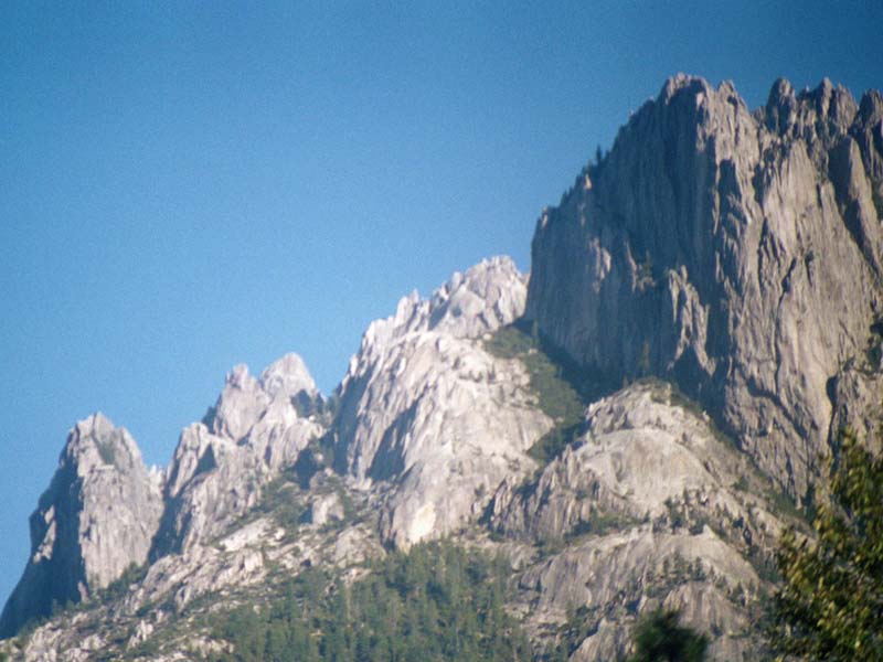
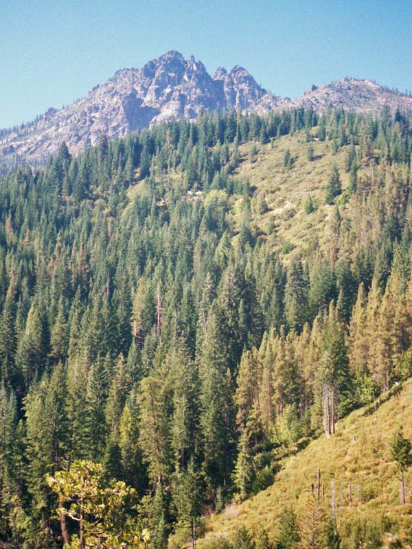
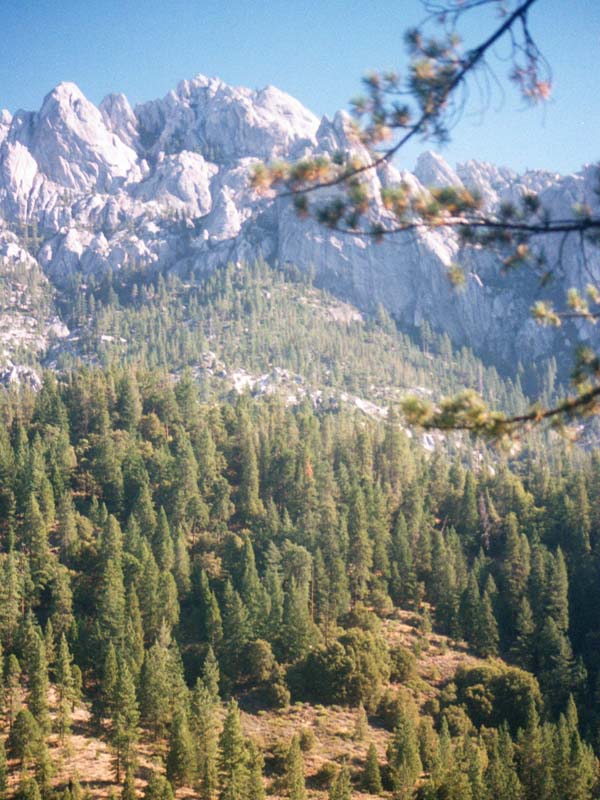
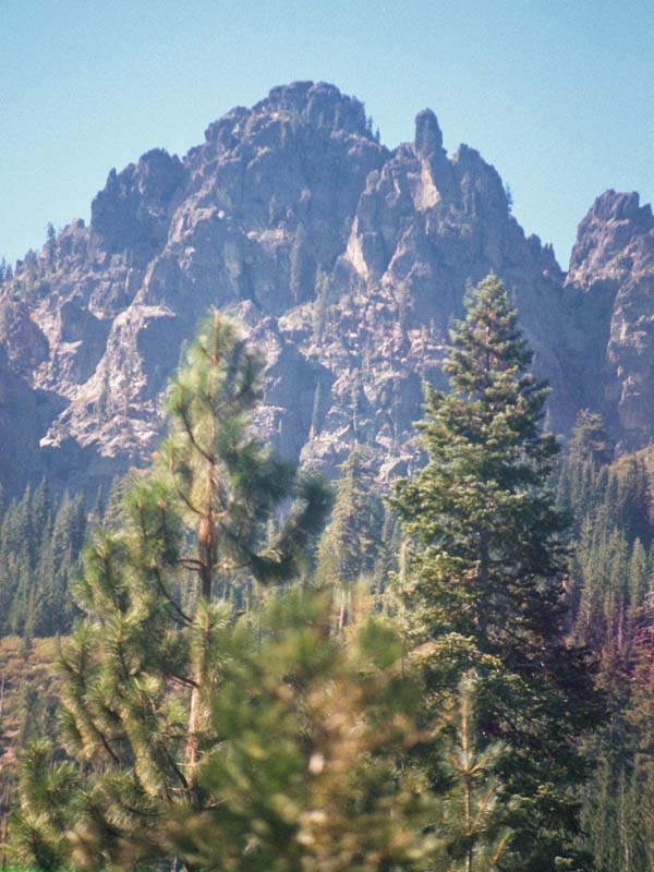
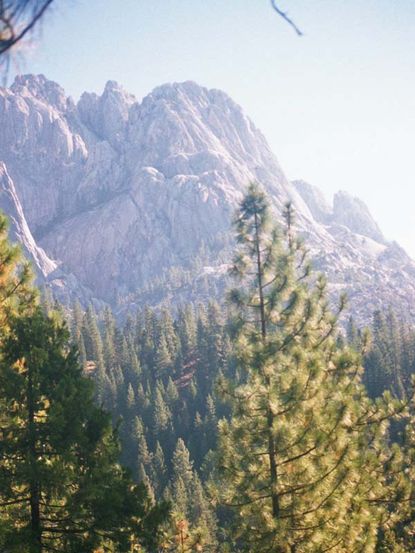
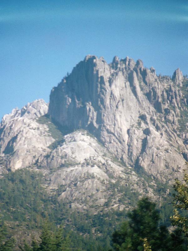
The park is named for 6,000-feet tall glacier-polished crags.
Summer and spring are warm; fall and winter can be cool. Layered clothing is advised.
Located in Northern California, the area known as Castle Crags was originally home to Native American tribes. The park's unique granite formations were formed over 170 million years ago through geological activity.
In the mid-1800s, gold miners arrived and conflicts with indigenous people ensued during what is now called the Modoc War. In 1933, it became a state recreational site due to efforts by concerned citizens who purchased land for preservation.
The Civilian Conservation Corps developed its infrastructure throughout the '30s including trails leading up towards towering spires of rock formation that gave this place its name - "Castle Crags". Today it spans across approximately 4,000 acres offering various outdoor activities like hiking or fishing.
Day-UseFishingyes
Hiking Trailyes
Swimming Beachyes
CampingPrimitiveyes
- Castle Crags State Park Campground: Offers 76 developed campsites with picnic tables, fire rings and food lockers.
- Riverside Campgrounds: Located along the Sacramento River; offers fishing opportunities.
- Group Camping Area: Accommodates up to 40 people for group camping activities.
- Environmental Sites: Four environmental sites available for a more secluded experience.
Castle Crags State Park is
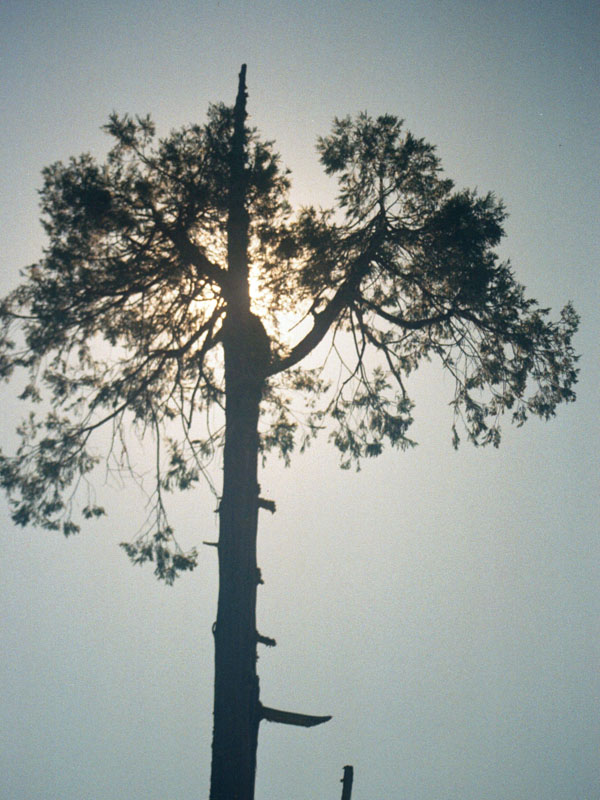
Castle Crags State Park offers scenic picnic areas with tables and grills, nestled among towering pines and rugged crags.
Crags Trail
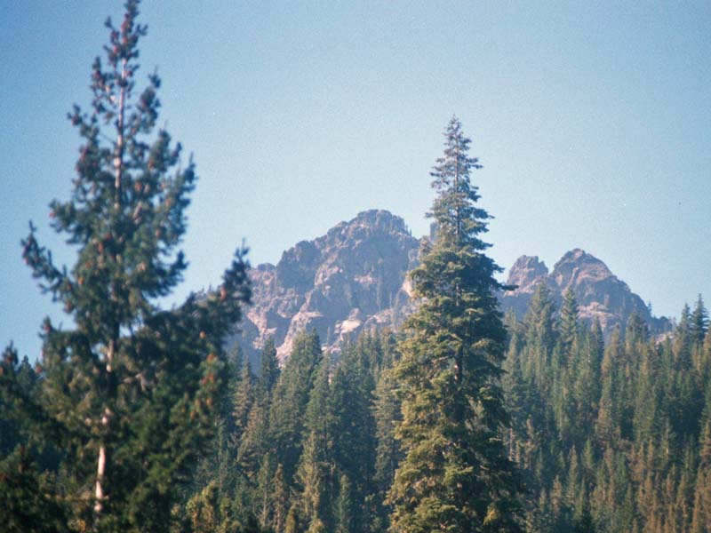
5.5 miles round trip with 2,200-foot elevation gain Soaring above the upper Sacramento River Valley are the sky-scraping spires of granite called the Castle Crags. From the lofty ramparts, the hiker can look down on forested slopes and up at magnificent snow-covered Mt. Shasta.
The Castle Crags were formed in much the same manner as nearby Mt. Shasta and the other peaks of the Cascade Range?by volcanic activity some 200 million years ago. For the last million years, the Crags have been subjected to the forces of wind, rain, ice and even some small glaciers, which have shaped the granite into its distinctive shapes. Rising beside the spikey peaks is a round one, Castle Dome, which many mountaineers liken to Yosemite?s Half Dome.
In 1855, the territory below the Crags was the site of a struggle between local native people and settlers. The locals, armed only with bows and arrows, were driven from their land in a one-sided battle that was chronicled by Joaquin Miller, ?poet of the High Sierra.?
Mining?first gold, later mercury and chromite?and logging, were the chief industries around the Crags for a hundred years. During the 1920s and 1930s, conservationists worked to protect the Castle Crags; they circulated of the scenic spot and promoted the idea of a comprehensive California state park system.
Crags Trail, with its steep elevation gain, is a real workout. Rewarding your effort are postcard-views of the Crags and of Mt. Shasta. The trail crosses Kettlebelly Ridge, part of the old California-Oregon Toll Road used by settlers on their way west.
Directions to trailhead: Castle Crags State Park is located some 25 miles north of Lake Shasta (6 miles south of Dunsmuir) off Interstate 5. Take the Castella exit and follow signs to the park. Follow the entrance road to the Vista Point parking area. The signed trail begins just down the road from the Point.
The hike: From the signed trailhead, the trail climbs west through a mixed forest of pine, fir and cedar. After a short time, you?ll pass a junction with Root Creek Trail, a mile-long path leading through the forest to its namesake creek. A little more climbing brings you to a four-way intersection. Here you meet the famous Pacific Crest Trail, seven miles of which leads through the state park. Your quiet contemplation of the notion of walking 2,000 miles from Mexico to Washington will undoubtedly be interrupted by the sizzle of electricity passing through the high-voltage lines strung above the trail junction.
You continue on Crags Trail on an ever-more-earnest ascent for another half mile to a short connector trail known as Bob?s Hat Trail which drops a quarter mile back to PCT. (Keep this trail in mind as a return trip option.)
Crags Trail turns north, and in another 0.5 mile splits again. The left fork goes to Indian Springs, where cold water bubbles from the depths of the Crags. Your path climbs even more steeply, winding among boulders and over flat rocks. Trees become more sparse with the gain in elevation, opening up ever-grander views over the manzanita and hardy heather of the Crags. Trail?s end is at the base of roundish Castle Dome.
You can climb rocks to your heart?s content around here, but use caution and don?t exceed your abilities.
The park is located six miles south of Dunsmuir on I-5.Latitude/Longitude:
41.1852 / -122.3427


 Share Your Castle Crags State Park Photos (click here)