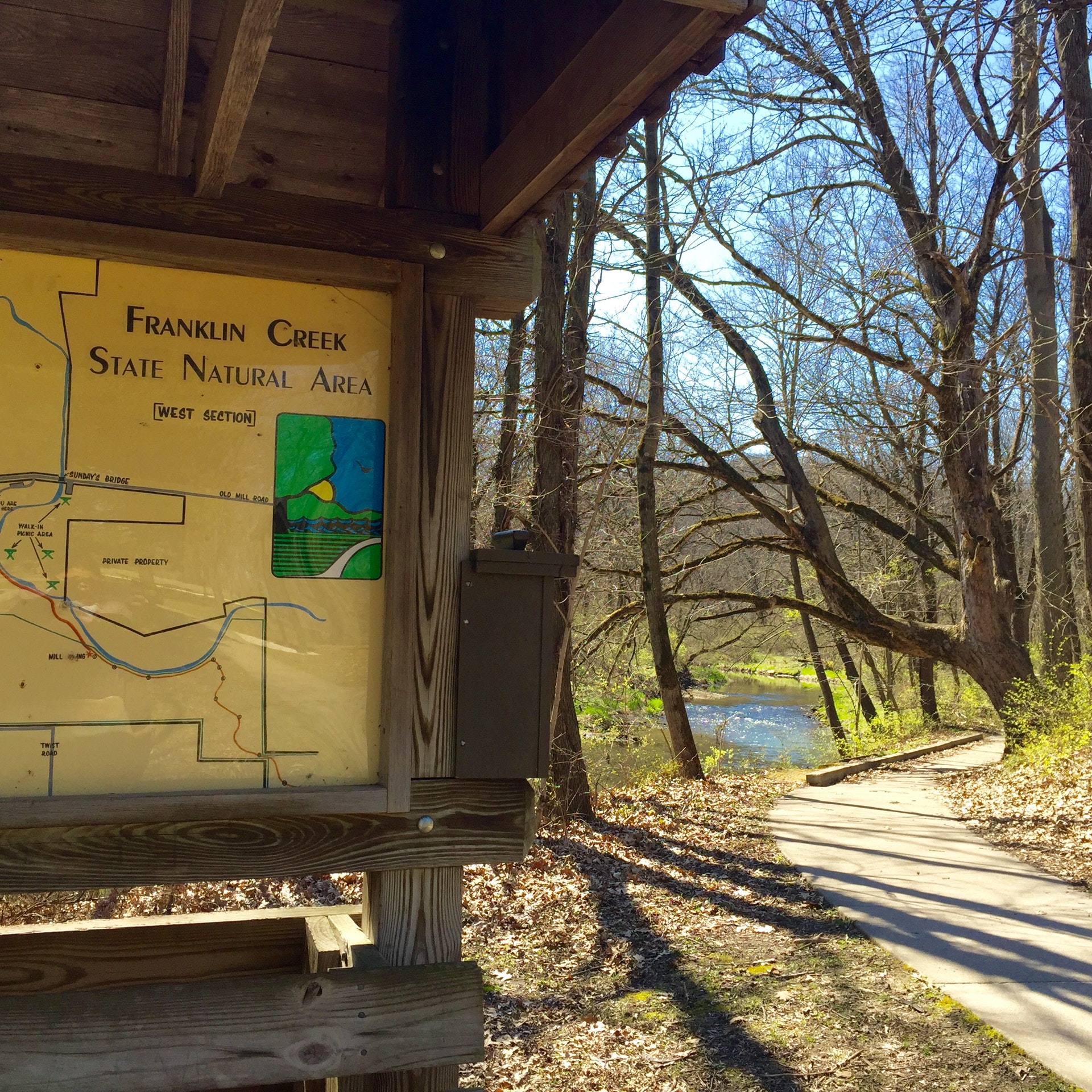
FRANKLIN CREEK STATE NATURAL AREA
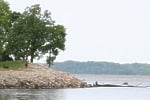
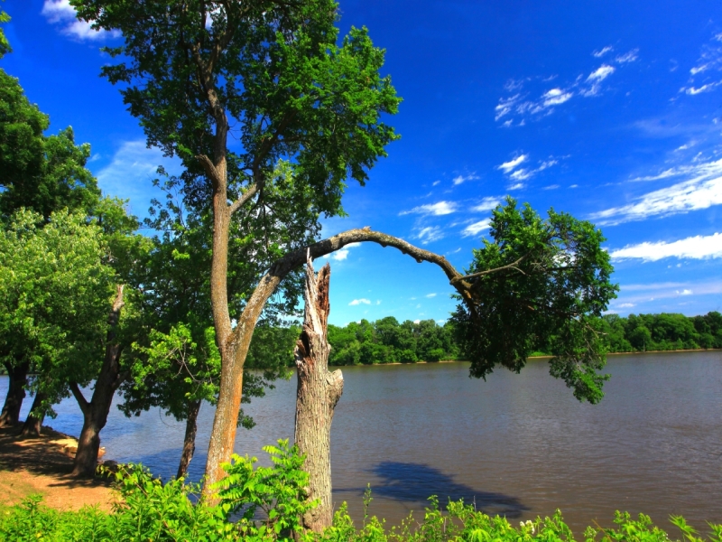
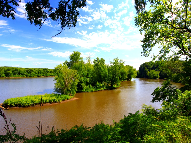
Franklin Creek State Natural Area is located in Lee County, one mile northwest of the village of Franklin Grove and eight miles east of Dixon just north of Illinois Route 38. The beautiful Franklin Creek flows throughout the 664-acre park. Several large natural springs, hardwood forests, bedrock outcroppings, and a large variety of flora and fauna comprise a pristine ecosystem.
The park contains a 198-acre nature preserve which is an outstanding and diverse natural area in a uniquely beautiful setting. High, rocky bluffs shelter a perennial creek and create an environment in which a rich flora and fauna thrive. The preserve represents the initial acquisition by the State of Illinois in the area and, therefore, has been the cornerstone upon which Franklin Creek State Natural Area is built. With its dedication as a nature preserve in 1970, it became the 24th nature preserve in the State of Illinois.
The geology of Franklin Creek is of considerable interest as the valley is deep enough to expose three distinct rock strata. New Richmond sandstone, a soft rock of Lower Ordovician age, is exposed at the bottom of the gorge. This is the oldest rock formation anywhere in the state, dating back to 500 million years ago. Above the New Richmond sandstone lies the Shakopee formation, consisting of sandy dolomite and also being of Lower Ordovician age. This strata is capped with St. Peter sandstone, which is of Middle Ordovician age, approximately 460 million years old. Away from the outcrops along the creek, which have been exposed by erosion, the bedrock is covered with a deep till from the Wisconsin glaciation. Finally, this is mantled with a layer of loess from which the upland soil is developed.
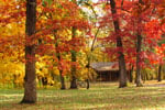
The occurrence of vegetation is influenced by soil characteristics, topography and moisture. Low lying areas along the creek bed support a bottomland forest dominated by silver maple and hackberry. Slippery elm and Kentucky coffee tree also occur here. Ravines support mesic (intermediate between wet and dry) upland forest characterized by sugar maple and basswood. Paw paw, and understory shrub of more southernly distribution, is found here. On drier sites, a dry-mesic forest of white oak, red oak, black oak, shagbark hickory, and hop hornbeam is found.
A small glacial drift hill prairie remnant is present in the preserve. Indian grass and tall dropseed are characteristic plants of this habitat. Other prairie species present include false toadflax, flowering spurge, and hoary puccoon.
High quality, undisturbed cliff communities are present on the bedrock outcrops. Canada yew, an evergreen shrub of more northern woods, is common here. Bladdernut, bishop's-cap, and shooting star are also found here, as well as several species of ferns.
The forested areas provide habitat for many species of nongame wildlife. Woodpeckers, flycatchers, thrushes, vireos, and warblers are among the breeding birds on the site. The area provides critical stop-over habitat for many more species during migration. Great blue herons and green herons have been observed here. Mammals utilizing the area include raccoons, chipmunks, gray and fox squirrels, beaver, and deer. Shrews, white-footed mice, weasels, and fox may also be seen. Nineteen species of fish have been recorded from Franklin Creek.
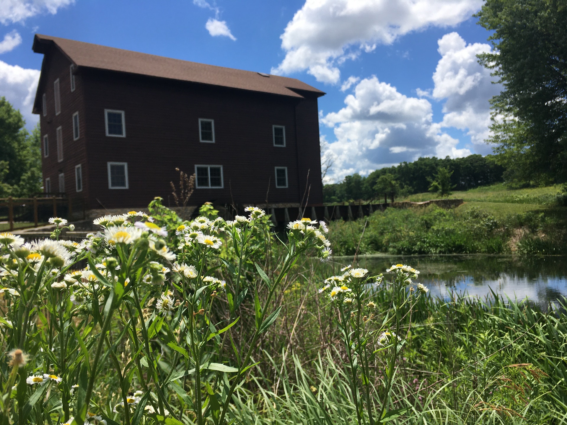
Pioneer families in the 1830s found the Franklin Creek area to be an inviting new home on the sometimes unfriendly prairie. Large, cool springs provided ample amounts of pure drinking water and early refrigeration, hardwood forests provided construction materials, and the creek provided fish for food and water power to run saw and grist mills. The deep, pleasant valleys protected by limestone and sandstone bluffs made ideal homesites shielded from cold winter winds. The mill spring, the largest in the park, provided water power for the largest grist mill in Lee County, constructed in 1847. Still today, many ponds and rock outcroppings along Franklin Creek carry names given to them by pioneer families.
For years the Franklin Creek has been a favorite local recreation site. In 1970, Mrs. Winifred Knox donated 100 acres of land for wildlife preservation her pioneer ancestors had settled. Through the 1970s, the Natural Land Institute purchased additional properties as they became available. Franklin Grove area citizens, wanting to see the Franklin Creek area protected, organized in 1981 to form the Franklin Creek Preservation Area Committee. Since the Committee's formation they have gained the reputation of being the first volunteer organization in the state to improve the idle state-owned land for park purposes through volunteer efforts. The committee secured donations of money and labor, along with assistance from the Franklin Grove Future Farmers of America, to construct roads, shelters, picnic tables, restrooms, run underground electric lines, drill wells, and clear hiking trails. Dedication services were held August 28, 1982 to officially open the park. In April of 1986, the State of Illinois appointed the first site superintendent to manage the new park.
Day-UseFishingyes
Huntingyes
Hiking Trailyes
Swimming Beachyes
Bridle Trailsyes
WinterActivitiesyes

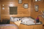
Cottages and Cabins
We would like to welcome you to the lodge and cabins at White Pines Inn. Located in Illinois White Pines State Park, there are 385 acres of peace and tranquility waiting for you here, with miles of hiking trails to explore the wonders of nature.
15 miles from park*


 Share Your Franklin Creek State Natural Area Photos (click here)
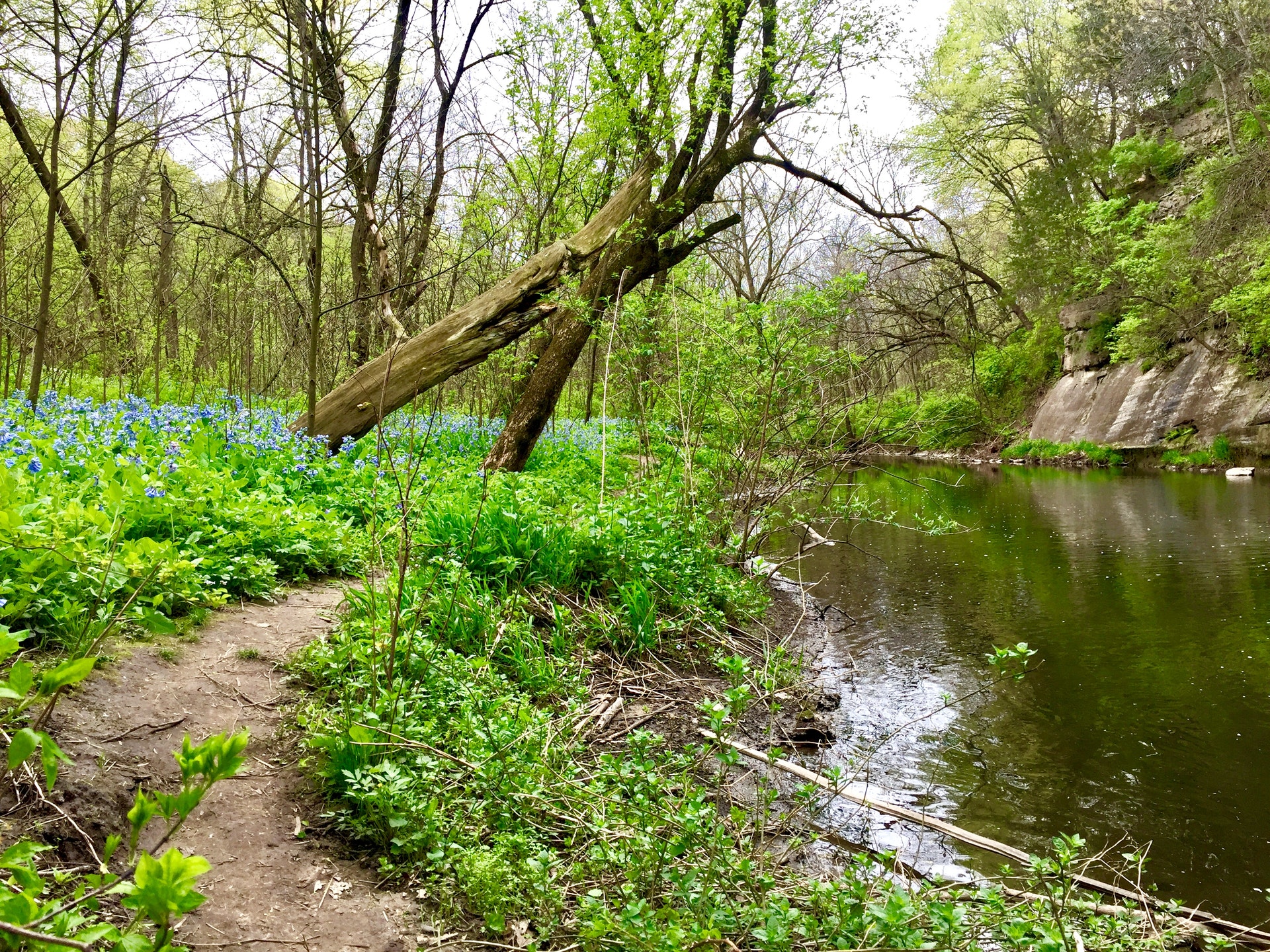