HONEYMOON ISLAND STATE PARK
The pioneers called it Hog Island, but it became Honeymoon Isle in 1939 when a New York developer built 50 palm - thatched bungalows for honeymooners. Today, visitors can drive across Dunedin Causeway to enjoy the sun - drenched Gulf beaches, mangrove swamps, and tidal flats. Nature lovers will find osprey nests, a wide variety of shorebirds, and one of the few remaining virgin slash pine forests in South Florida. The park boasts several nature trails and bird observation areas. Visitors can swim, fish, and snorkel in the warm waters of the Gulf or picnic while they enjoy the beautiful scenery. Shelling is particularly good here, as the Gulf currents deposit an incredible variety of seashells on the shore. Showers are available and the park?s concession has a gift shop and snack bar. Located at the extreme west end of State Road 586.
Honeymoon Island is home to many actively nesting birds including Osprey, Oyster catchers, Snowy Plovers and Least Terns. Roseate Spoonbills, Snowy Egrets, Great Blue Herons and many other species are often observed feeding in the bay, beaches and estuaries surrounding the park. Gopher tortoises and armadillos can be found in the picnic area and along the nature trail.
Annual Entrance Passes can be purchased at all park ranger stations and museums. If you require immediate use of your pass, this is the best option. Passes can be purchased during regular business hours 365 days a year. Please call the park in advance to ensure availability. Those who are eligible for discounted or free passes may use this method to receive their pass. Annual Entrance Passes may be purchased online by visiting the
FLORIDA STATE PARKS ANNUAL ENTRANCE PASSES web page.
The Park Concession offers food, beverages, beach supplies and souvenirs. Kayaks, umbrellas and beach chairs are available for rent.
With approximately 4 miles of shoreline, beach lovers will find a variety of activities with areas designated for swimming on the main beach, a pet beach on the south end and great shelling and walking on the north end which turns into a sand spit. Showers are located near the boardwalks leading out to the main beach areas
Kayaks can be rented through the concession or if you have your own, explore Pelican Cove which lies between the sand spit and nature trail.
Surf and pass fishing can yield catches of flounder, snook, trout, redfish, snapper, whiting, sheepshead, pompano, Spanish mackerel, cobia, ladyfish and tarpon Do you need a fishing license?
Surfing is allowed in the park, and it's usually pretty good on the north end by Bathhouse 3.
Honeymoon Island State Park is located near Clearwater, Dunedin and Holiday
Restroom facilities are available in the park. Several are ADA accessible.
Pavilion
There are two covered picnic pavilions and grills are located next to the nature trail. These pavilions may be reserved for a fee.
Playground
There is a playground located in the picnic area on the north end of the island.
A picnic area is located on the northern end of the island. There are picnic tables, two covered pavilions, restrooms and barbeque grills.
Ranger led trail walks and shell programs are offered. Please contact the park for additional information on times and availability or to schedule group tours.
Observe one of the few remaining south Florida virgin slash pine stands along the Osprey trail which provides visitors with approximately 2-1/2 miles of walking.
The park offers birding trails with diverse species including ospreys, eagles and great horned owls. The Osprey Trail is a popular spot for spotting nesting birds of prey. Birdwatchers can also see migratory songbirds during spring and fall seasons. Pelicans are commonly seen along the coastline.
Various interpretive kiosks are located throughout the park. The Rotary Centennial Nature Center is a great place to learn more about the History of Honeymoon and Caladesi Islands as well as information on the plants and animals that can be found on the islands. The elevated observation deck offers spectacular views and at low tide and provides many opportunities to see wading birds around the seagrass beds in the St. Joseph Sound.
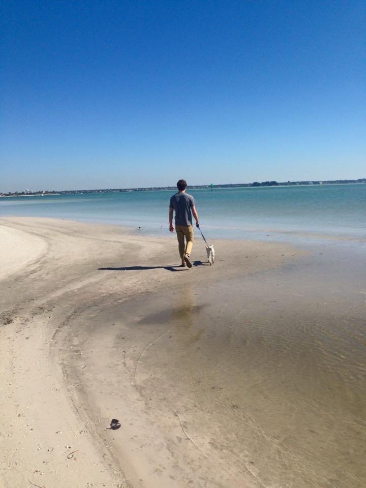
Pets
Dogs are allowed in designated areas such as pet beach on the southern tip of the island and on the nature trail. Pets must be on a 6 foot hand held leash at all times while in these areas.
Honeymoon Island State Park is located at the extreme west end of S.R.586, north of Dunedin. From I-75 (north of Tampa): I-75 south to I-275 south towards Tampa. Follow I-275 south to Hillsborough Ave west (SR-580). Take SR 580 west to SR-586 fork then left. Follow SR-586 into park. From I-75 (south of Tampa): I-75 north to I-4. I-4 to I-275 north. I-275 to Hillsborough Ave west (SR-580). SR-580 west to SR-586 fork then left. Follow SR-586 west into park.


 Share Your Honeymoon Island State Park Photos (click here)
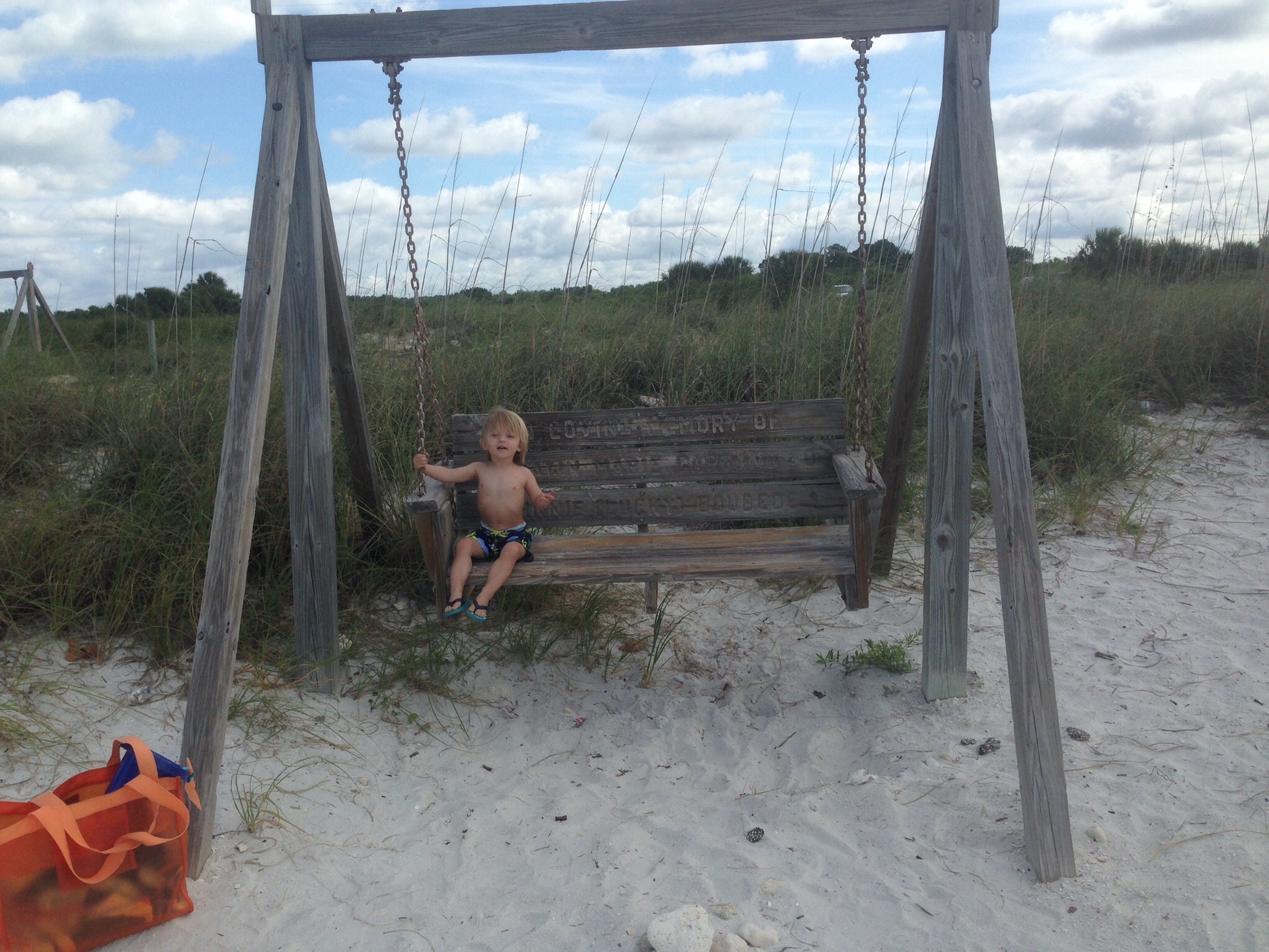