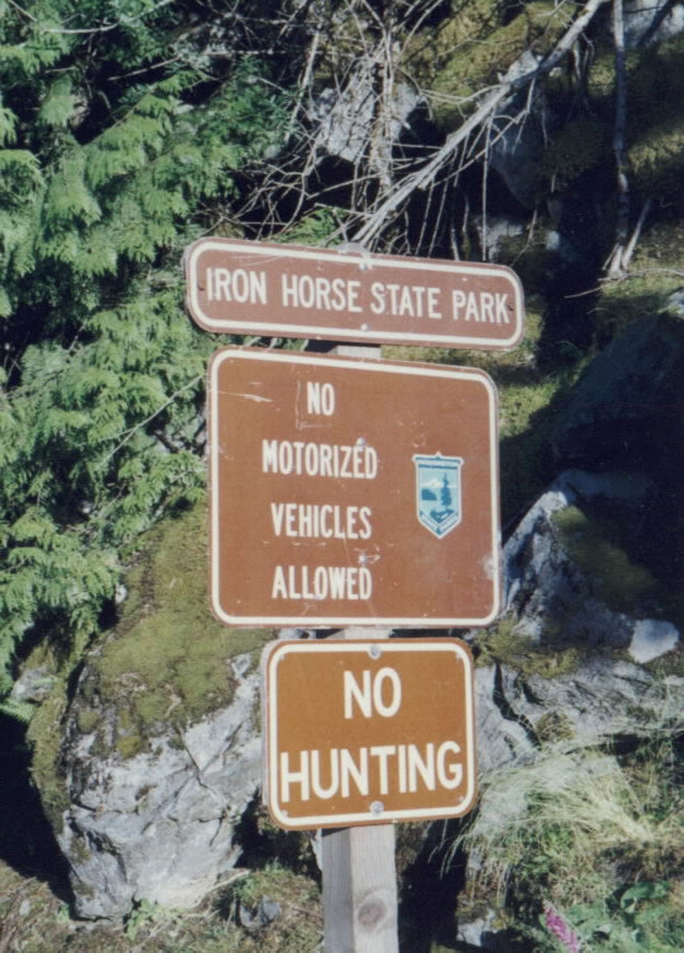
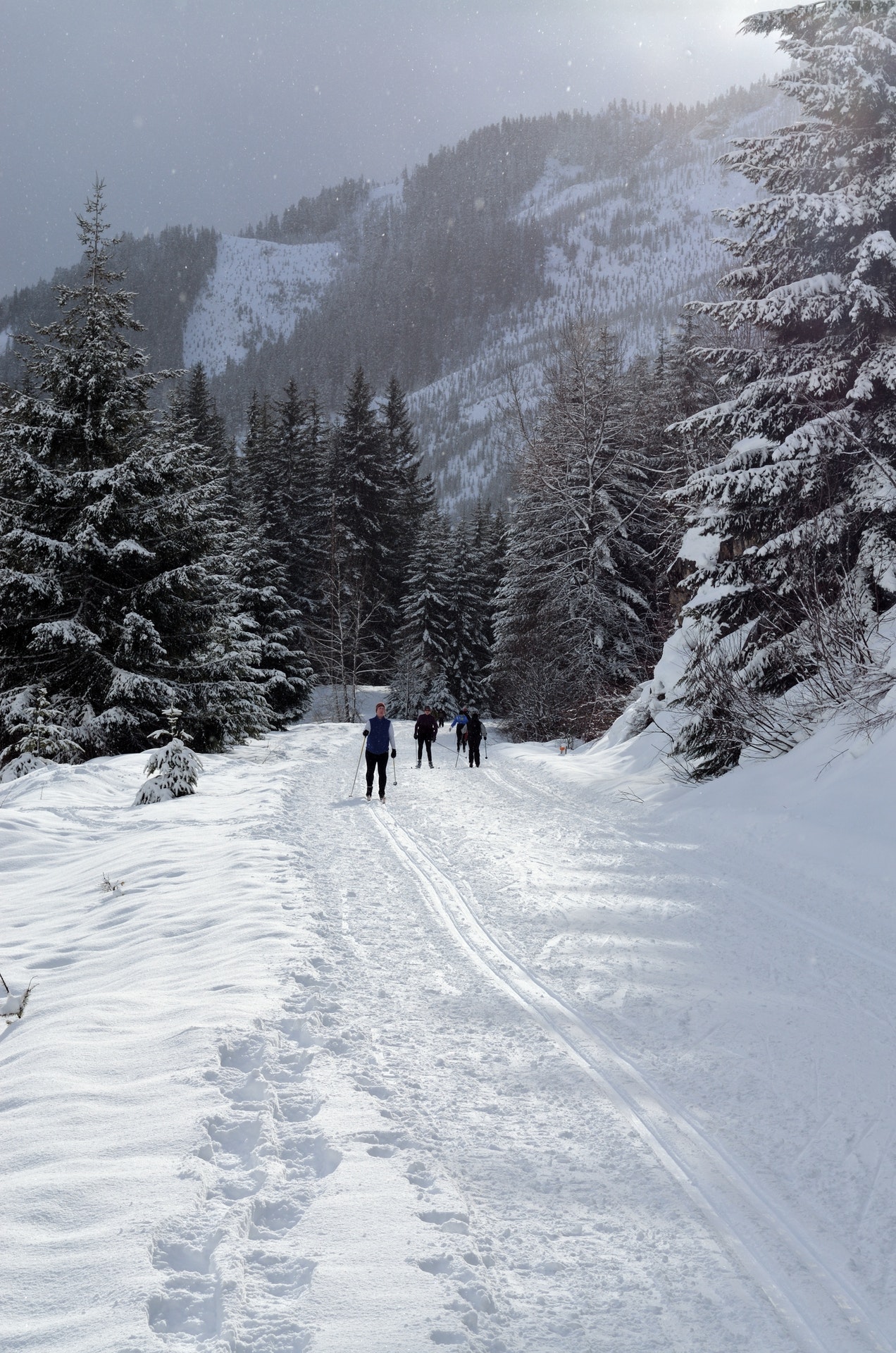
State Park Location Maps:
 (click here to zoom and navigate local map)
 (click here to zoom and navigate regional map)
View TOPO Maps!
Get directions to this park:
State Park Photo Gallery:
volunteer positions open
State Park Link: Iron Horse State Park
Nearby Parks: Twin Falls State Park Kanaskat-Palmer State Park Tiger Mountain State Forest Nolte State Park Green River Gorge State Park Squak Mountain State Park Squak Mountain State Park Natural Area Black Diamond Bridge State Park Black Diamond Bridge Site State Park Flaming Geyser State Park Lake Sammamish State Park
|
| State Park Contact Information: |
 |
Iron Horse State Park
|
| Adopt-A-Park Contacts: |
 |
Photography: add your photos
|
|
| State Park Overview: |
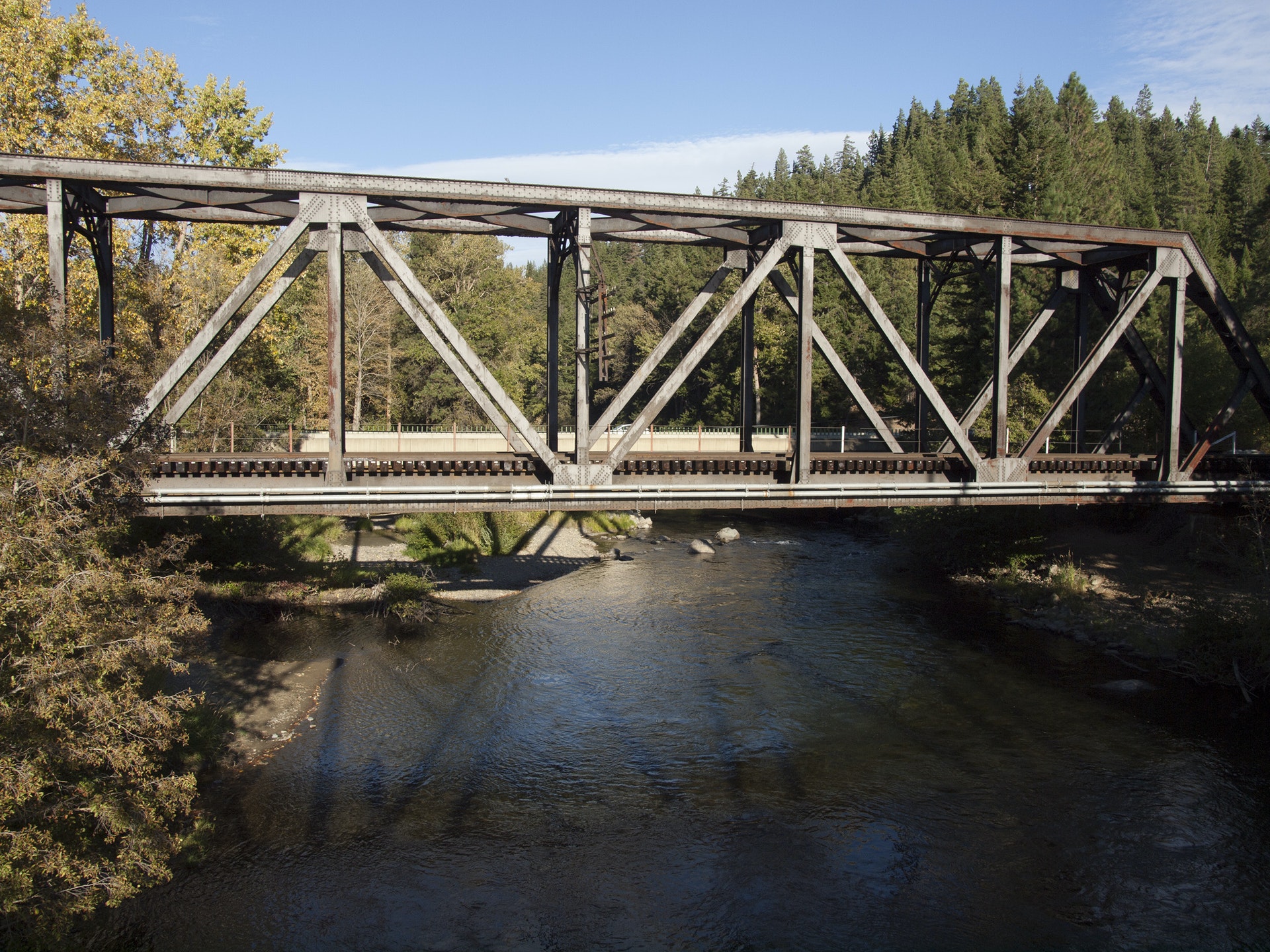
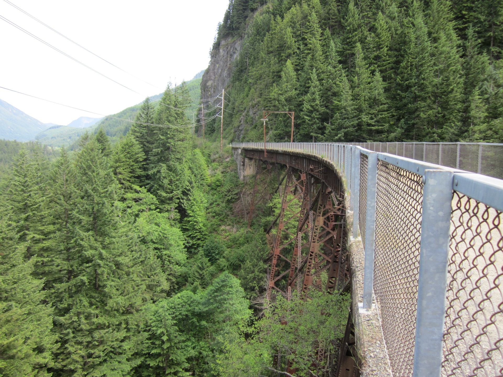
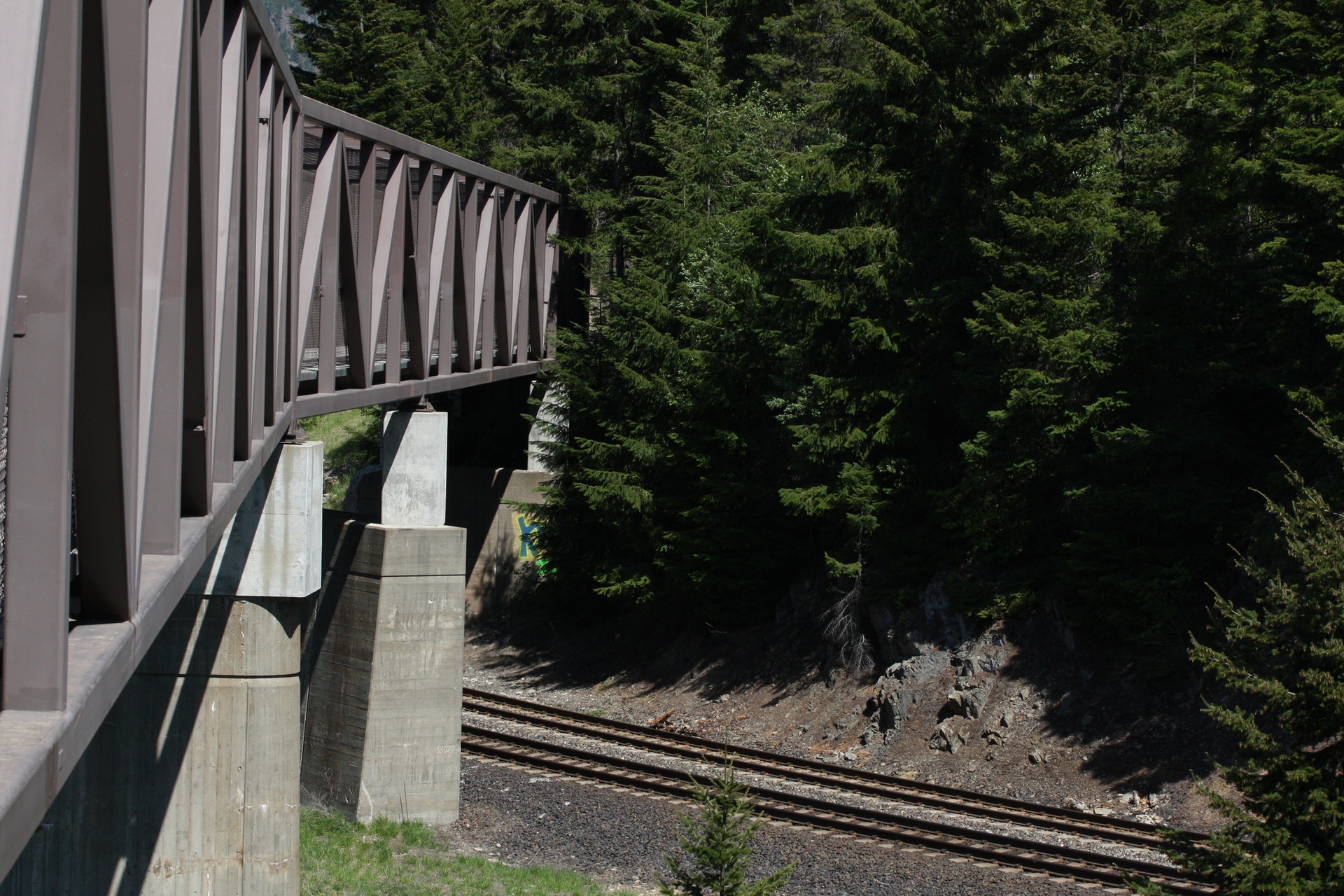
 | Iron Horse State Park is a 1,612-acre park that was once part of the path of the Chicago-Milwaukee-St. Paul-Pacific Railroad. More than 100 miles of trail extends from Cedar Falls to the Columbia River. High trestles provide spectacular views of the valley below. The park offers more than 100 miles of hiking, biking and equestrian trail along the route of a historic railroad. Winter sport opportunities are available. Park hours/updates:
Summer: 6:30 a.m. to 9 p.m.Winter: 8 a.m. to 5 p.m.
The park is open year round for day use. The Snoqualmie Pass Tunnel closes Nov. 1 each year. The tunnel is scheduled to reopen June 1.
A Sno-Park permit is required from Nov. 15 through April 30. |
| Nature of the Area: |
| Mammals Birds Fish & Sea Life? Bears? Bobcats? Chipmunks? Coyotes? Deer or Elk? Marmots? Otters? Rabbits? Raccoons? Skunks? Squirrels? Crows or Ravens? Doves or Pigeons? Ducks? Eagles? Geese? Grouse? Hawks? Herons? Hummingbirds? Jays? Ospreys? Owls? Pheasants? Quail? Woodpeckers? Wrens
Environmental Features Physical Features Plant Life Special
In the Cascade Mountains, the trail cuts through basalt outcroppings, exposing large cliffs that tower above the trail. West of Thorp, the trail cuts through a sandstone deposit.
? Cedar? Nobel Fir? Ponderosa Pine? Yew? Alder? Apple? Maple? Oak? Daisy? Foxglove? Lupines? Orchids? Paintbrush? Rose? Berries? Ferns? Moss or Lichens
Remnants of the old railroad are still present: trestles, tunnels, bridges, signal foundations, ties, spikes, etc.
|
| Reviews By Park Visitors: |
 | Be the 1st to Review Iron Horse State Park. You can rate it, post a comment on it, or do both. |
 | |
| Camping: |
| There are four campgrounds along the trail, each with three to four campsites, one picnic table and a vault toilet. They are located at milepost 2109.5 at Roaring Creek, milepost 2113.2 at Cold Creek, milepost 2123.2 at Carter Creek and milepost 2127.1 at Alice Creek.
Camping is also available near the trail at U.S. Forest Service campgrounds at Tinkham, Denny Creek, Lake Kachess and Crystal Springs. There is state park camping at Lake Easton and Wanapum.
More about park hours Check-in time is 2:30 p.m., and check-out time is 1 p.m.Quiet hours are from 10 p.m. to 6:30 a.m.Engine-driven electric generators may be operated only between the hours of 8 a.m. and 9 p.m.Length of stay: You may stay up to ten consecutive days in any one park during the summer; the stay limit is extended to 20 days between Oct. 1 and March 31. |
| History of the Area: |
| Originally, the trail right-of-way was part of the Chicago, Milwaukee, St. Paul and Pacific Railroad. The railroad operated between 1908 and 1980, when the company went into bankruptcy. The state's Department of Natural Resources acquired much of the property and turned it over to State Parks, which continues to acquire land and make improvements to the area. |
 | |
| |
|  | Advertise your park related business on stateparks.com
...vacation cabin, weekend getaway, log cabin rental, romantic cottage, vacation home, resort, hotel, motel, bed and breakfast, country inn, campground, RV park, horseback riding stable, canoe livery, river rafting, outfitting, sporting goods store, guide service, RV rental, etc read more.... |
|
| Related Links: |
| Area Attractions: |
| Trails Water Activities Other? 110 mi. Hiking Trails? 110 mi. Bike Trails? 110 mi. Horse Trails ? Fishing (freshwater) ? Bird Watching? Interpretive Activities? Mountain Biking? Rock Climbing? Wildlife Viewing
Winter Recreation? Cross-country Skiing? Dog Sledding? Snowmobiling? Snowshoeing
The 100-mile-long John Wayne Pioneer Trail meanders through a variety of ecosystems and geological zones. No motorized vehicles are allowed on the trail with the exception of snowmobiles in winter, which are allowed from Stampede Pass Rd. to Cabin Creek. Horse-drawn wagon users must obtain a key to the gates of Lake Easton State Park.
New shuttle service: Agate Pass Transportation, LLC is providing a new shuttle service for hikers and bicyclists using the John Wayne Pioneer Trail. Users from Seattle and Western Washington can park at Rattlesnake Lake and Cedar Falls, take the shuttle up I-90 and then hike or bike back down. From Eastern Washington, users can park at the Hyak trailhead, hike or bike down to Cedar Falls and then take the shuttle back to their autos. For fee and schedule information call (877) Bus-up-90, (877) 981-2022, e-mail info@busup90.com or go online at www.busup90.com. |
| Area Campgrounds | | |
| Directions: |
| Located from Rattlesnake Lake to the Yakima River Valley in King and Kittitas Counties.
From Cedar Falls:Leave I-90 at exit #32. Drive south on Cedar Falls Road 3.5 miles.
From Twin Falls:Leave I-90 at exit #38, eastbond traffic turn right off exit, cross river and turn right into parking lot marked ?Twin Falls natural area.?
Westbound traffic:Turn left at exit, drive approx. two miles and park in the second lot on left marked "Twin Falls Natural Area."
From McClellan Butte:Leave I-90 on exit #42, USFS Trailhead, turn south at exit. Follow signs.
From Annette Lake:Leave I-90 on exit #47, USFS trailhead, turn south at exit and follow signs.
From Hyak:Leave I-90 at exit #54, turn south at exit, turn east (left) on Hwy-906, 1/2 mile turn right on Lake Keechelus boat launch road, turn right on next road approx. 200 ft. In winter, you will need a Sno-Park permit to park in this lot.
From Easton:Leave I-90 at exit #71, turn south to stop sign, cross Railroad Street, railroad tracks, turn left. Drive 1.4 mile to the parking area.
From South Cle Elum:Leave I-90 at exit #84, follow signs to South Cle Elum. Once in town, follow signs to parking area.
From Thorp:Leave I-90 at exit #101, turn north on Thorp Hwy, 1/2 mile turn left on Thorp Depot Road and 1/4 mile to parking area. |
 |
| |
| |
|