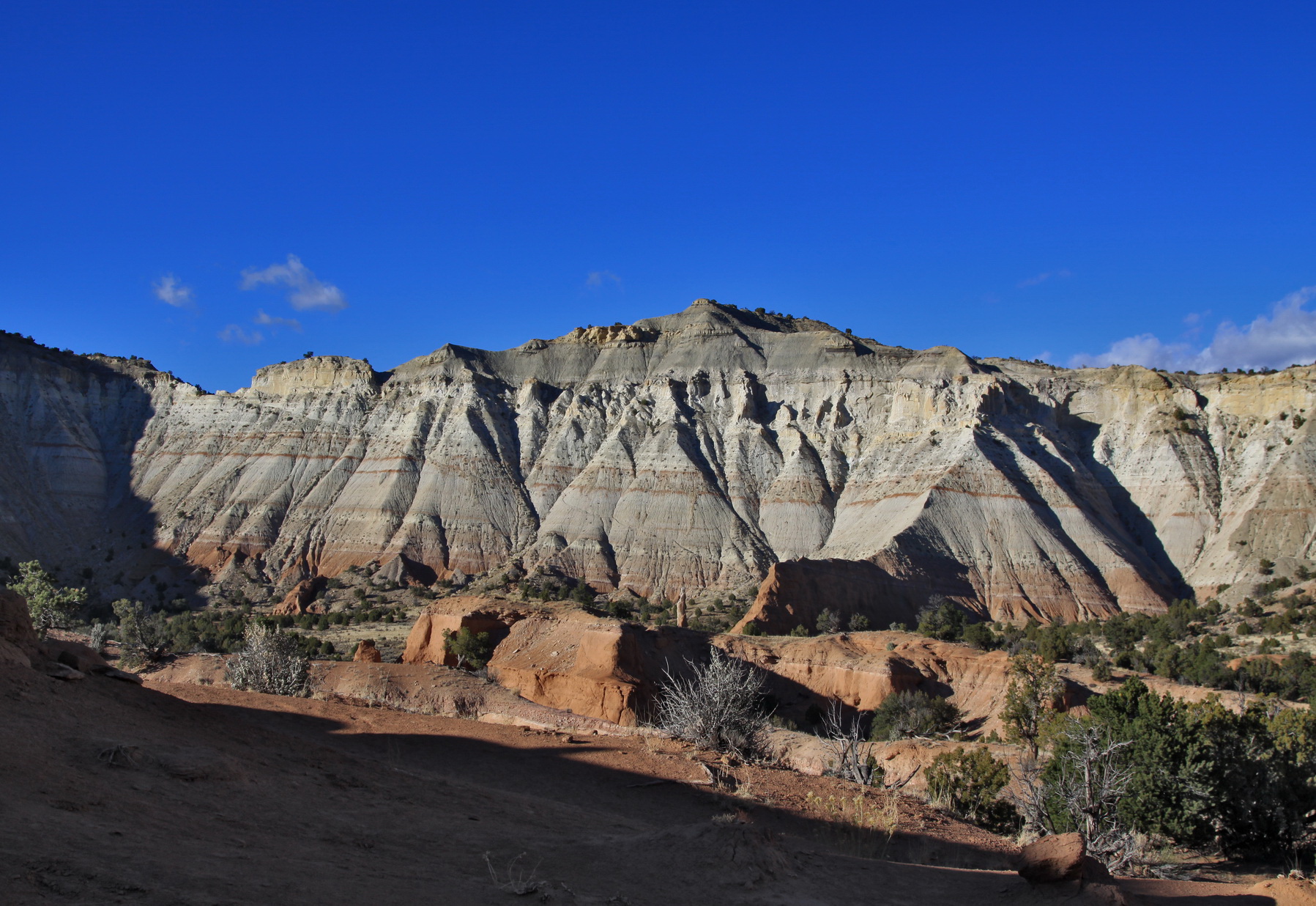
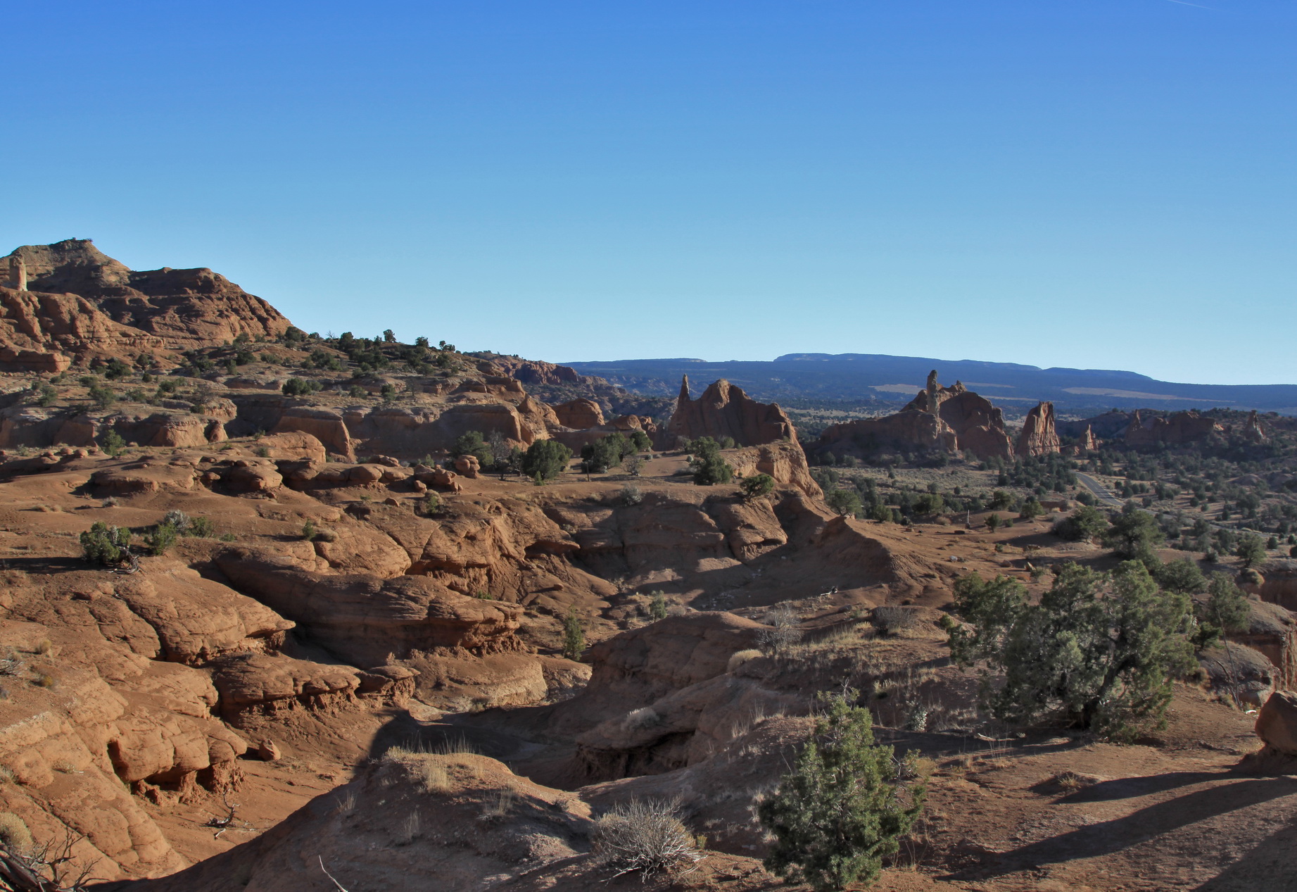
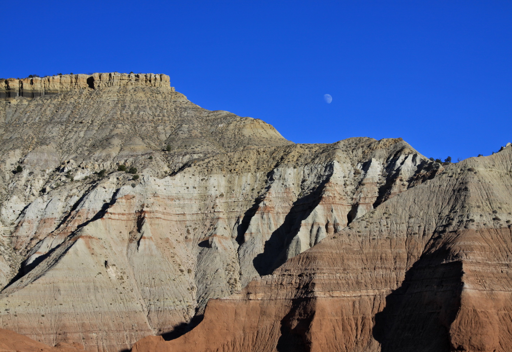
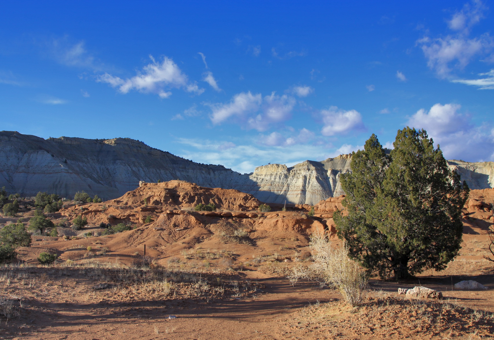
KODACHROME BASIN STATE PARK
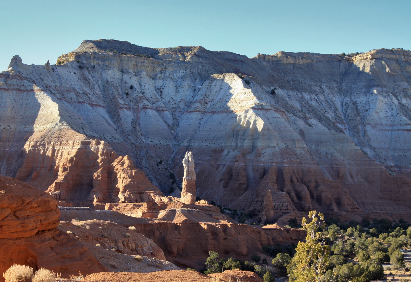
Kodachrome Basin is a spectacle of massive sandstone chimneys, ever-changing from gray and white to shades of red with the day's mood. Numerous rocks and coves offer solitude, quiet and unique desert beauty. Nearby attractions include Bryce Canyon National Park, Grosvenor Arch, Paria Canyon, movie sets and ghost town remains. Opportunities include hiking, biking, and photography.
Kodachrome is nine miles south of State Route 12 near Cannonville. Overnight camping facilities, drinking water, modern rest rooms, hot showers and sewage disposal station are available. An area with picnic tables, fire pit, barbecue grills and electricity is great for group outings. A concessionaire provides horse rentals and camping supplies, along with climate-controlled cabins complete with showers. The park has a resident ranger.
Day-UseHiking Trailyes
Picnickingyes
Swimming Beachyes
Bike Trailsyes
Bridle Trailsyes
CampingPrimitiveyes
Full Hookup Sitesyes


 Share Your Kodachrome Basin State Park Photos (click here)