SALMON NATIONAL FOREST
SALMON NATIONAL FORESTRR 2, P.O. Box 600
Salmon, Idaho 83467
Phone:
208-756-5100
The Salmon-Challis National Forest covers over 4.3 million acres in east-central Idaho. Included within the boundaries of the Forest is 1.3 million acres of the Frank Church-- River of No Return Wilderness Area, the largest wilderness area in the Continental United States. Rugged and remote, this country offers adventure, solitude and breathtaking scenery. The Forest also contains Borah Peak, Idaho's tallest peak, the Wild & Scenic Salmon. River and the Middle Fork of the Salmon River. The area is a highly desired destination for hunting, fishing, white-water rafting and many other popular recreational pursuits.
All campgrounds on the Leadore District are limited to a 14 day stay. The Meadow Lake Campground is the only fee campground. Facilities include drinking water, tables and outhouses at most campgrounds. Pets must be on a leash in campgrounds.
Bear Valley (Lower) Equestrian Campground, Bear Valley Trailhead: The Bear Valley Equestrian Campground, is located approximately 28 miles northwest of Leadore in the Lemhi Mountains. Follow Highway 28 north 19 miles to Lemhi. One mile north of Lemhi, turn west on the Hayden Creek Road. Follow Forest Service Road #008 to Bear Valley Creek at 8.5 miles. At this road junction take the right fork, Forest Service Road #009, up Bear Valley Creek Road for 3.7 miles to the Bear Valley (lower) Equestrian Campground. It has water, feed troughs and hitch rails. Bear Valley (upper) Trailhead Campground is 1 mile further at the end of the road.
Hawley Creek Lower, Upper and Reservoir Creek Campgrounds : The Hawley Creek Lower Campground is 8 miles southeast of Leadore. Follow Highway 29 east of Leadore, 1 1/4 mile, turn right on the county dirt road and go 6 miles to the junction, Forest Service Road #275. Follow road 4 miles east up Hawley Creek. Half mile further is Hawley Creek Upper Campground to the right. Proceed one mile to fork, head left a quarter mile, on left is Reservoir Creek Campground.
Big Eightmile Campground/Trailhead : Big Eightmile Campground is 14 miles west of Leadore on Big Eightmile Creek. Take the Lee Creek Road at the junction of Highway 28 and 29 in Leadore west 5 miles, follow Forest Service Road #096, 9 miles southwest to Big Eightmile Creek Campground.
Timber Creek Reservoir Lower/Timber Creek Reservoir Upper : West of Leadore on Lee Creek Road .9 miles where you take a left turn up Forest Service Road #105 that heads toward Big Timber Creek. After 7.5 miles you come to a road junction where you take the right fork (Forest Service Road #172). Follow one mile to a fork; right leads to Timber Creek Reservoir Lower, left to Timber Creek Reservoir Upper, another half mile away.
Meadow Lake Campground : Meadow Lake Campground is located 24 miles south of Leadore. To get there, drive 17 miles south of Leadore on Highway 28 and turn right (west) on to Forest Service Road #002, a gravel road that climbs 2,080 feet to the campground. The campground underwent significan reconstruction during the summer of 2003. It is now a fee area with potable water, tent and trailor sites including sites accessible to the mobility impaired.


 Share Your Salmon National Forest Photos (click here)
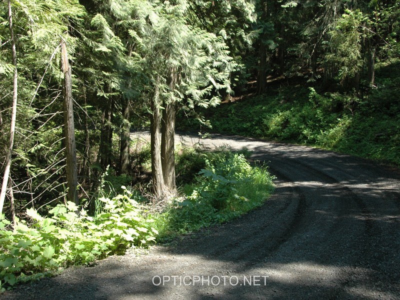