Log In
Join
Save
You must be signed in to save park lists.
Join / Sign In
Your Park Lists
add New List
>
Share
Add Photo
You must be signed in to add photos.
Join / Sign In
Add Review
Save
Add Photo
California
70
California
State Parks
USA Parks
California
Southern California Region
Santa Monica Beach State Park
USA Parks
California
Southern California Region
Santa Monica Beach State Park
Santa Monica Beach State Park
Highway to the Beach
©
Rainer Quesada
The 10 Fwy transitioning into the Pacific Coast Highway in Santa Monica.
Santa Monica Beach State Park
Ferris Wheel
©
Rainer Quesada
A shot of one of the many colors that the ferris wheel changes into during the evening.
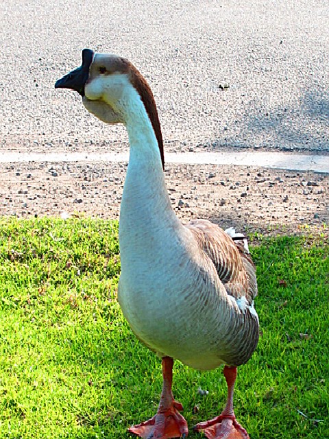
Santa Monica Beach State Park
Gander
©
Anna Lee Simpson
Search
Availability
Calendars
SANTA MONICA BEACH STATE PARK
SANTA MONICA BEACH STATE PARK
Phone:
818-880-0363
...
...
...
This beach is two miles long, has a picnic area, shops and pier. Visitor activities include volleyball, basketball and a running strip along the beach.
Location
Santa Monica Beach State Park is located near Agoura Hills, Beverly Hills and Burbank
>
Nearby Parks
Will Rogers Beach State Park
Will Rogers State Park
Los Encinos State Historic Park
Dockweiler Beach
Manhattan Beach State Park
Santa Monica Mountains National Recreation Area
Redondo Beach State Park
Malibu Creek State Park
Los Angeles State Historic Park
Visitor Comments, Memories and Reviews
Share On
Area Campgrounds
Dockweiler Beach RV Park
12001 Vista Del Mar
Playa Del Rey, CA
800-950-7275
Malibu Beach RV Park
25801 Pacific Coast Highway
Malibu, CA
Plasse's Resort
30001 Plasse Road
Silver Lake, CA
209-258-8814
View
Photo Gallery
Share Your Santa Monica Beach State Park Photos (click here)
Current Weather Prediction
Directions
The beach is located along Pacific Coast Highway in Santa Monica.
Nearby Parks
Will Rogers Beach State Park
Will Rogers State Park
Los Encinos State Historic Park
Dockweiler Beach
Manhattan Beach State Park
Santa Monica Mountains National Recreation Area
Redondo Beach State Park
Malibu Creek State Park
Los Angeles State Historic Park
California
70
California
State Parks
USA Parks
California
Southern California Region
Santa Monica Beach State Park
X


 Share Your Santa Monica Beach State Park Photos (click here)
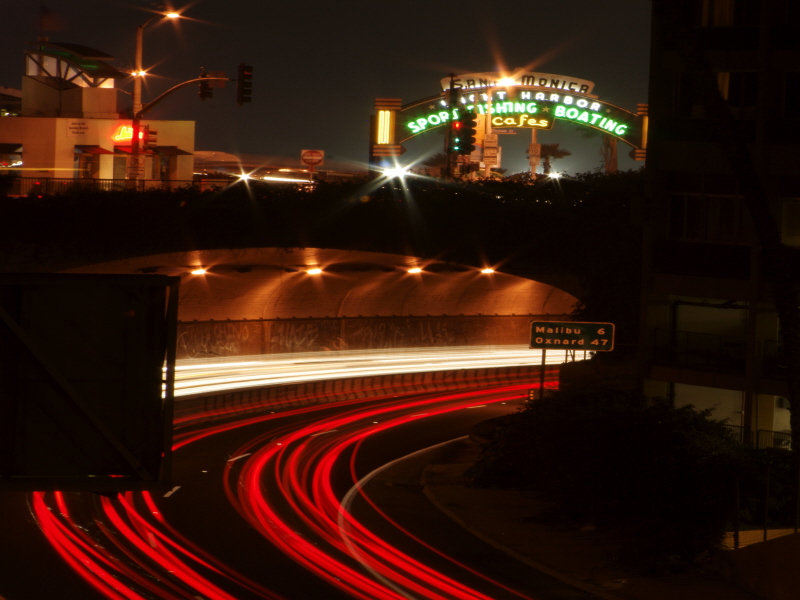