SHERBURNE NATIONAL WILDLIFE REFUGE
SHERBURNE NATIONAL WILDLIFE REFUGE17076 293rd Ave.
Zimmerman, Minnesota 55398
Email:

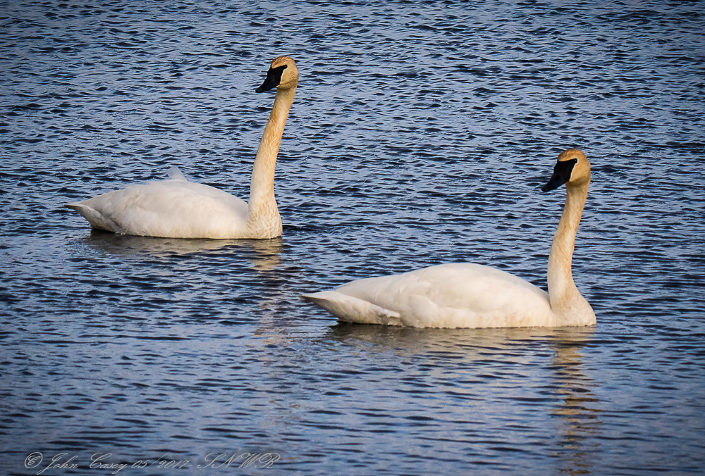
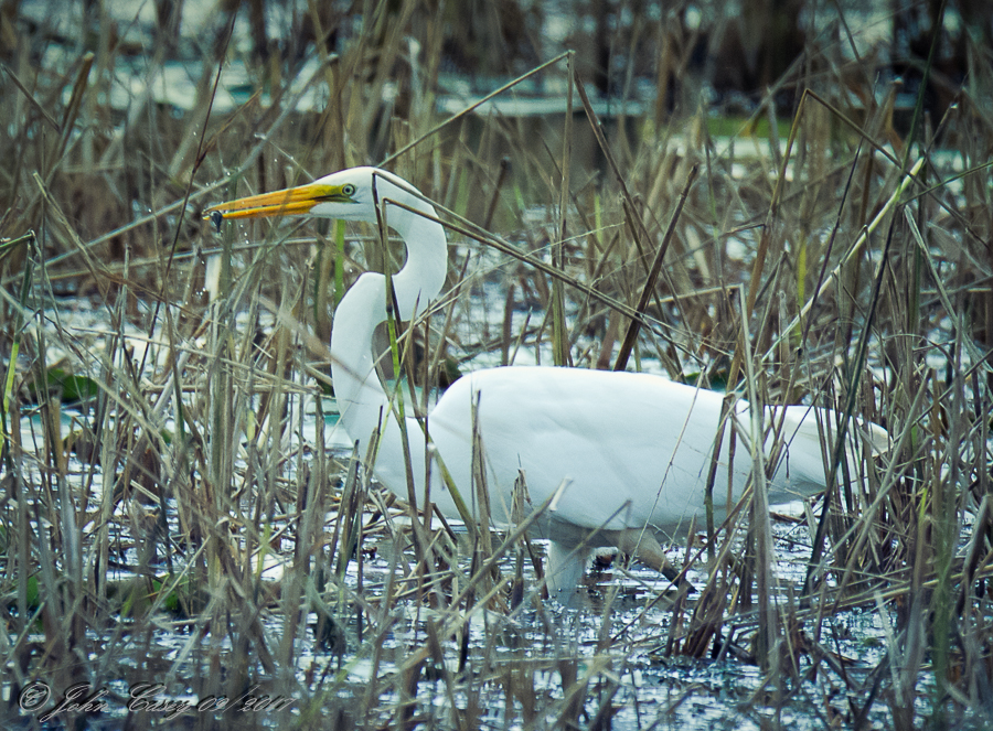
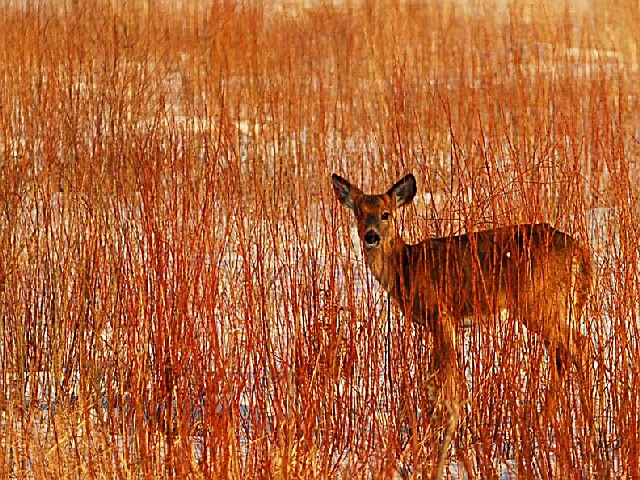
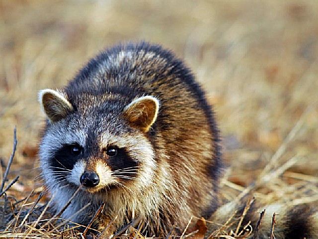
Sherburne National Wildlife Refuge is located in the St. Francis River Valley, which is known as one of the finest wildlife areas in the state. The wildlife value of the valley was severely reduced in the early 1900s, when the area was drained for agriculture. Congress established this 30,600-acre refuge in 1965 with Federal Migratory Bird Hunting Stamp (Duck Stamp) funds. Land acquisition continued for the next decade. Restoration of wetlands was completed in the mid-1980s, and upland restoration is on-going. <P>With 23 impoundments and numerous natural lakes and wetlands, the refuge provides habitat for a variety of waterfowl, wading/water birds, and bald eagles. White-tailed deer, eastern bluebirds, gopher snakes, and other species associated with oak savanna and prairie habitats benefit from upland management. The refuge is a major greater sandhill crane nesting and staging area. <P>The flat-to-gently-rolling topography of the refuge lies within the transition zone of two major ecosystems - deciduous hardwood forest and tallgrass prairie. There are approximately 14,000 acres of wetlands and natural lakes, 8,000 acres grassland openings, 8,000 acres of woodlands and oak savanna, and 35 river miles on the St. Francis River. <P>
Day-UseFishingyes
Huntingyes
Hiking Trailyes


 Share Your Sherburne National Wildlife Refuge Photos (click here)
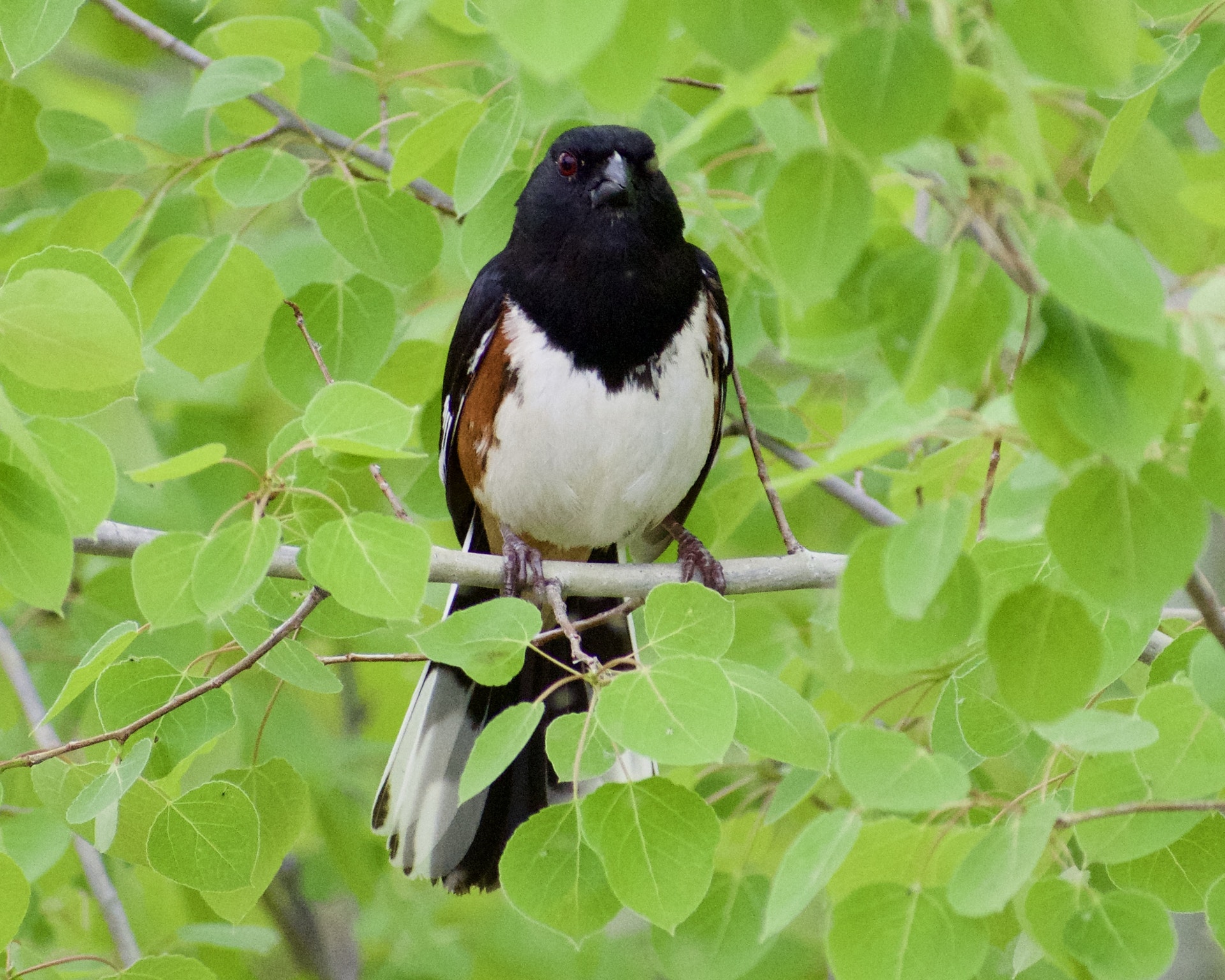