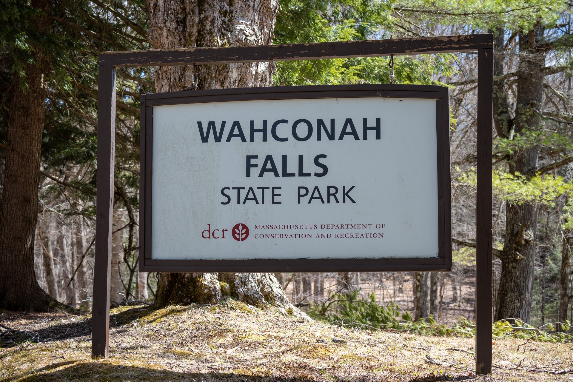
WAHCONAH FALLS STATE PARK
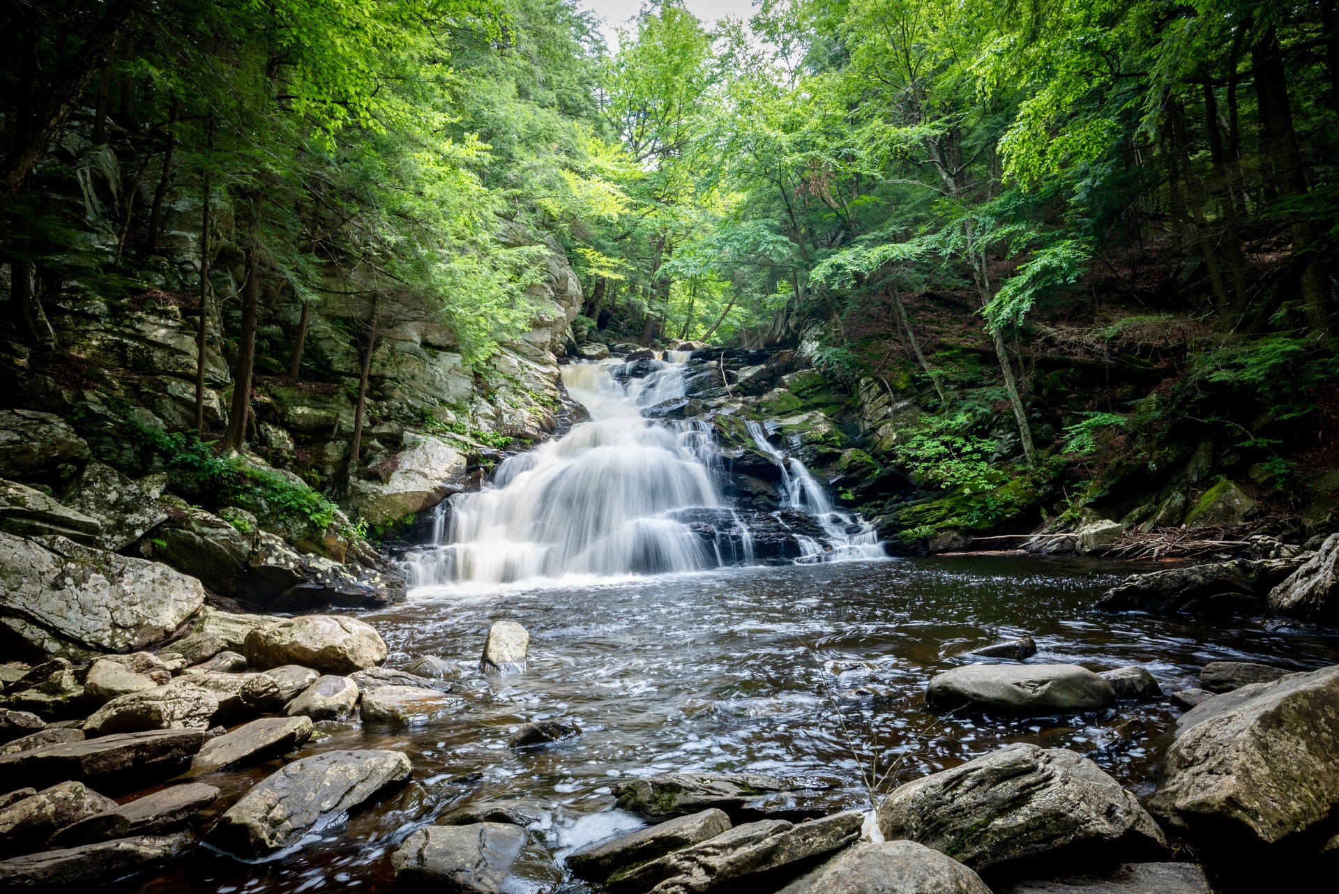
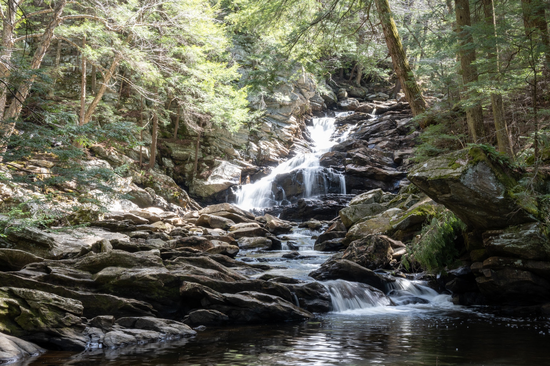
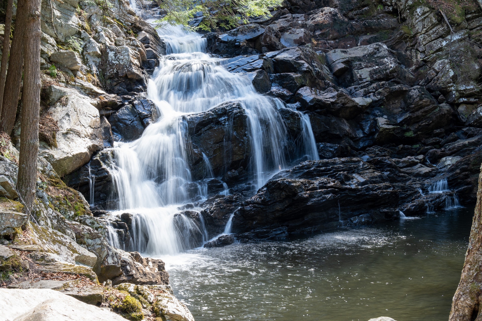
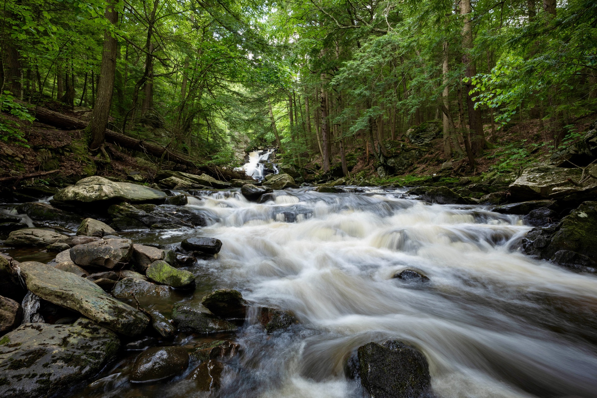
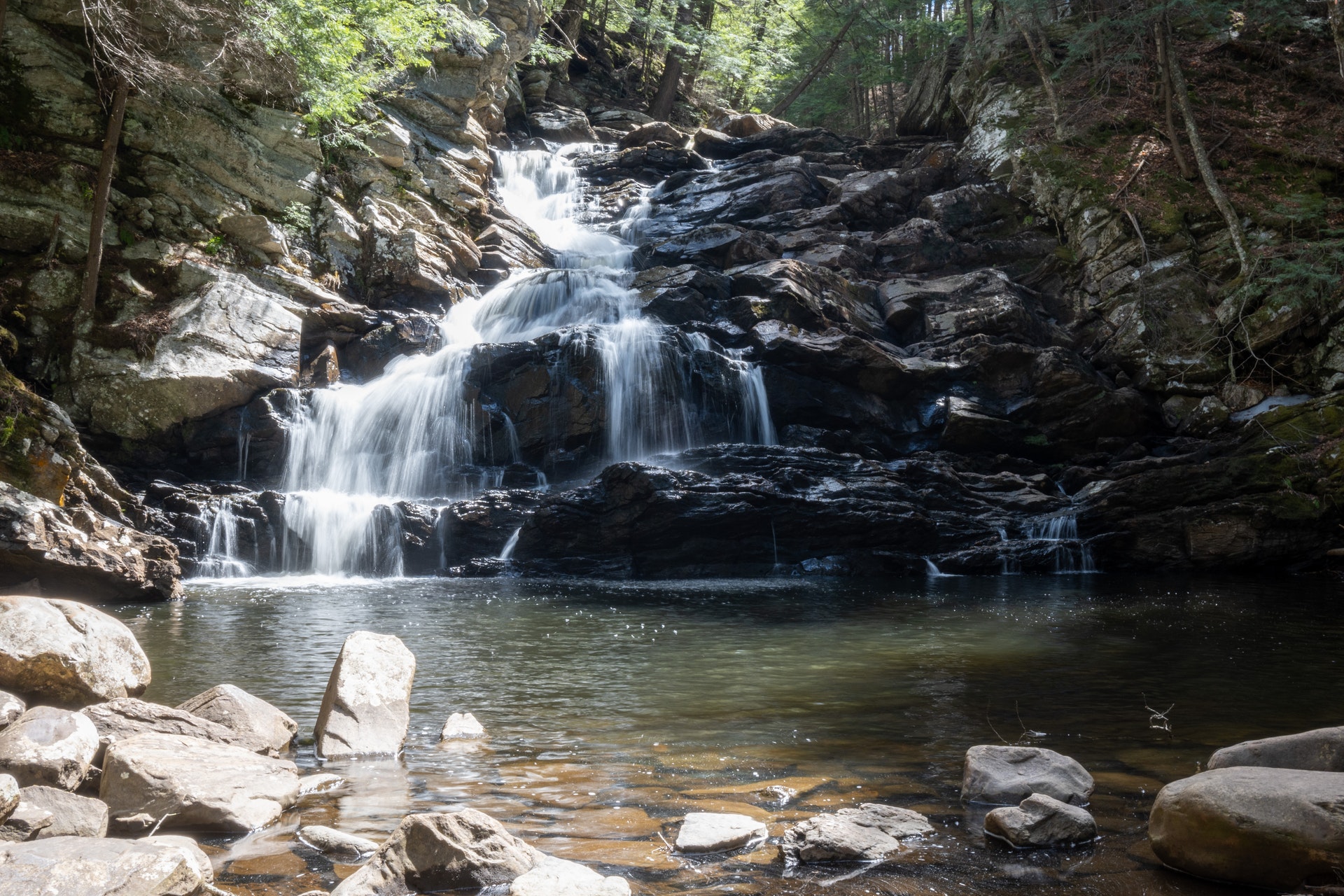
Located in the heart of the Berkshire Hills, Wahconah Falls offers visitors spectacular scenic views anytime of year. Wahconah Falls Brook flows over several smaller tiered falls then cascades about 40 feet into a deep pool. The falls "roar," especially during spring run-off. Relax, picnic or fish in the shade of the northern hardwood-conifer forest, or take a hike on the 0.5 mile loop trail (moderate difficulty) through open woods and along upper portions of the falls.
Wahconah Falls State Park is located near North Adams, Pittsfield and Troy
Wahconah Falls State Park offers picnic tables and grills for visitors. Enjoy a meal amidst beautiful waterfalls and scenic views.
Smitty's Bait & Tackle
200 North St
Dalton, MA
(413) 684-2244
Onota Boat Livery
463 Pecks Rd
Pittsfield, MA
(413) 443-1366
Patriot Resorts
20 Williamstown Rd
Lanesboro, MA
(413) 236-5885
Wahconah Falls State Park is located in the central Berkshires in western Massachusetts.
From the East/I-91: Take Exit 19 in Northampton and follow MA Rte. 9 west for 30.5 miles to North Street/Wahconah Falls Road. Look for brown lead-in signs. Turn left and follow 0.5 mile (becomes unpaved) to park entrance on the right.
From the East and West/MassPike (I-90): Take exit 2 in Lee. Follow Rte. 20 west to Rte. 7 north for 11 miles to downtown Pittsfield. At Park Square rotary follow East Street for 3.25 miles (East St. becomes Merrill Road after 1.5 miles) to intersection with MA Rte. 9 east, and keep right. Turn right onto Rte. 9 east and follow for 4.6 miles through downtown Dalton to intersection with MA Rte. 8A. Turn left and continue to follow Rte. 9 east /Rte. 8A north/North Street for 2.6 miles to North Street/Wahconah Falls Road. Look for brown lead-in signs. Turn right and follow for 0.5 mile (becomes unpaved) to park entrance on the right.


 Share Your Wahconah Falls State Park Photos (click here)
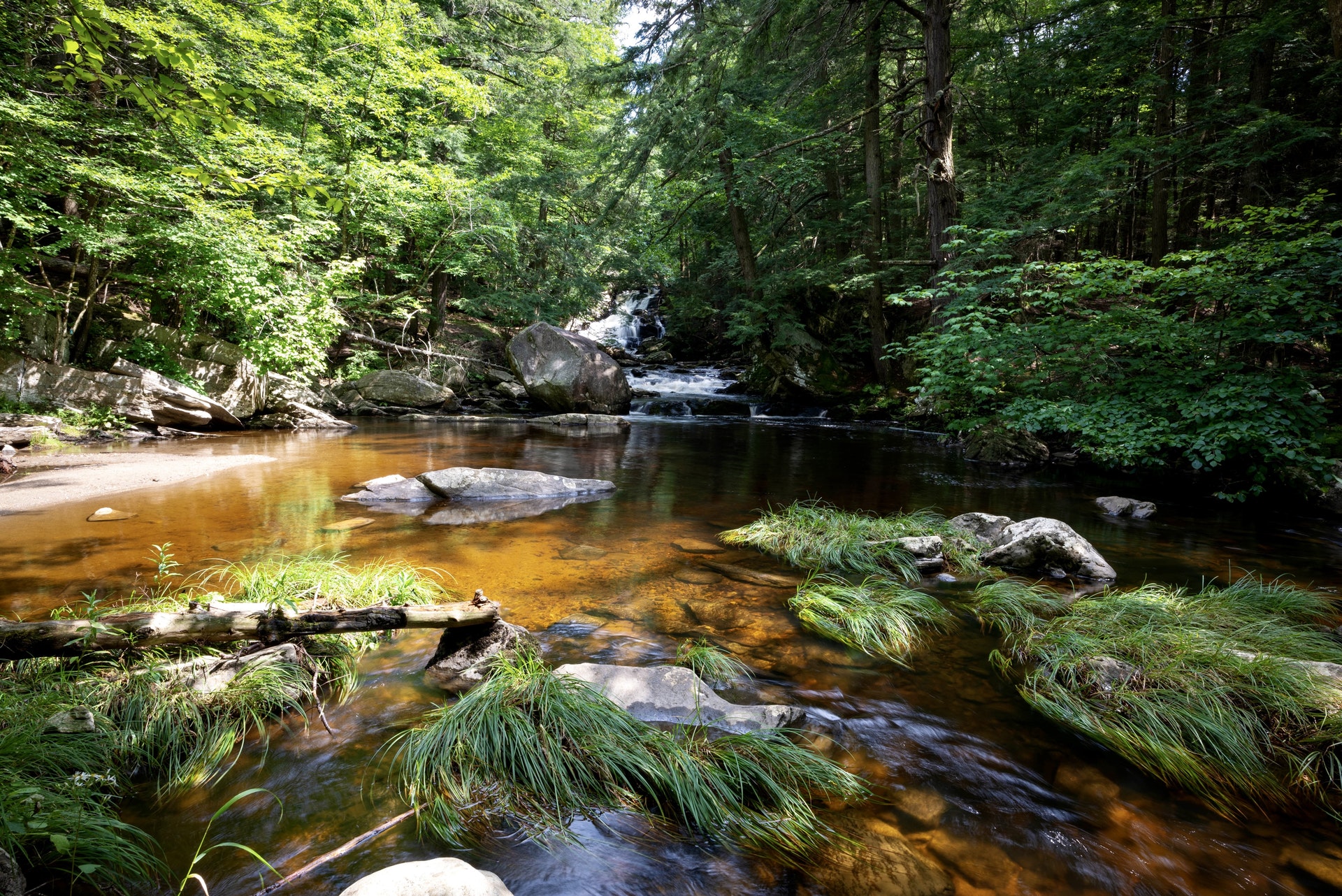