WILDCAT MOUNTAIN STATE PARK
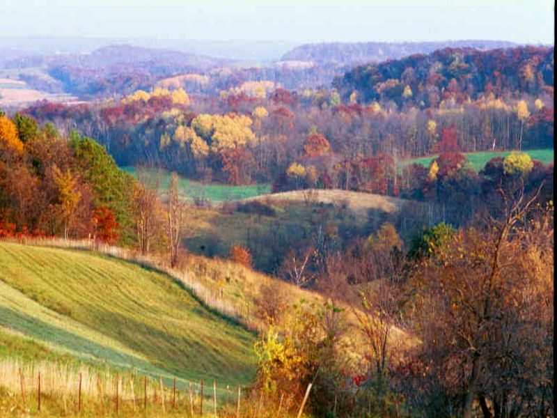
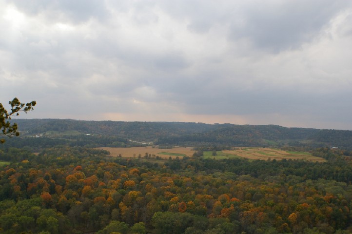
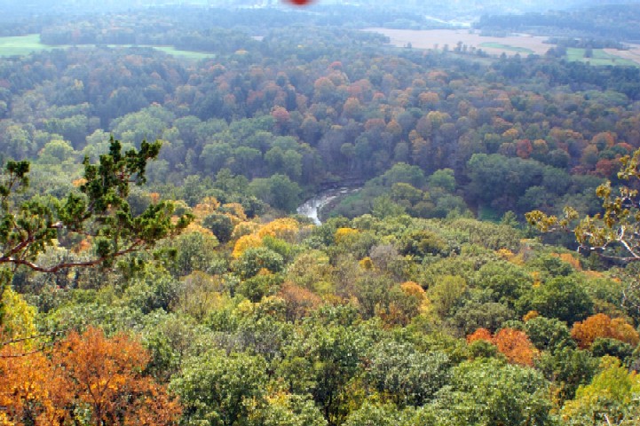
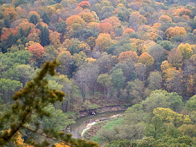
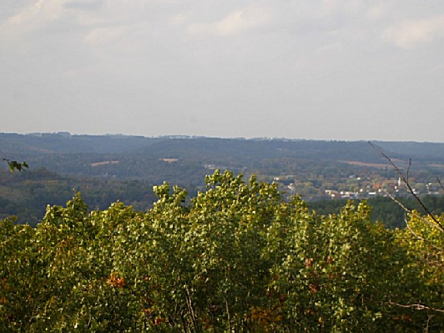
On a steep ridge overlooking the scenic Kickapoo River Valley, Wildcat Mountain State Park offers hiking trails with spectacular views and camping for families, groups, and horseback riders. Canoe the Kickapoo River in your own canoe or rent one in Ontario.
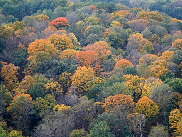
The park's 3,603 acres, mostly wooded, contain 25.8 miles of trails.
A Wisconsin State Park System vehicle admission sticker is required on all motor vehicles stopping in state parks, forests and recreation areas, please visit the
VEHICLE ADMISSION STICKERS web page.
CampingPrimitiveyes
Electric Sitesyes
WinterActivitiesyes
Family Campground:
The campground at the top of Wildcat Mountain has 30 sites, all reservable. Each site has a picnic table and fire ring, and the campground has flush toilets, showers, and a dump station. No electrical hookups are available. There's a campground host during the summer.
Group Campground:
There are three reservable group sites about a half-mile east of the park office. The campground can accommodate up to 75 people and has vault toilets, picnic tables, fire rings, and a shelter house. Water must be obtained at the shower building.
Horsetrail Campground:
There are 24 sites for equestrians are a valley northeast of the park office. Of the 24 sites, 20 can be reserved (exit DNR). Sites 7 through 10 are first-come, first-served. The campground has picnic tables, fire rings, drinking water, vault toilets, a corral, hitching posts, parking pads, loading ramps, and a large parking lot.
The Kickapoo is the Wisconsin River's longest tributary. The Kickapoo River meanders for 130 miles from Wilton to Wauzeka, where it empties into the Wisconsin River. As the crow flies, this distance is less than half that long, about 60 miles. The name Kickapoo is Algonquin for "one who goes here, then there" and accurately describes the river, which flows in all directions of the compass for portions of its length.
The Kickapoo is a slow-moving river which overflows its banks rapidly in heavy rains.
The United States Geological Survey (USGS) operates three stream gauges on the Kickapoo River. These instruments record the water level and flow of the Kickapoo River hourly. One gauge is in Ontario, one downstream in LaFarge and the third further downstream in Steuben. This information (exit DNR) is useful for planning a Kickapoo River canoe trip.
Anglers can enjoy fishing along the scenic Kickapoo River. Common catches include trout, smallmouth bass, and panfish species.
Wildcat Mountain State Park is
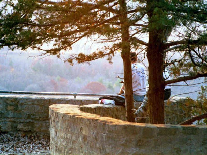
Wildcat Mountain State Park offers scenic picnic areas with tables and grills overlooking the Kickapoo River Valley.
Shelters are available for rent, providing cover in case of rain.
Picnickers can enjoy views from the park's overlooks while dining.
A playground is nearby for children to play after eating.
Visitors should pack out all trash, as carry-in/carry-out policy helps maintain cleanliness.
Hiking Trails:
Old Settler's Trail: This 2.5-mile trail takes about 1.5-2 hours to complete. It begins in the upper picnic area.
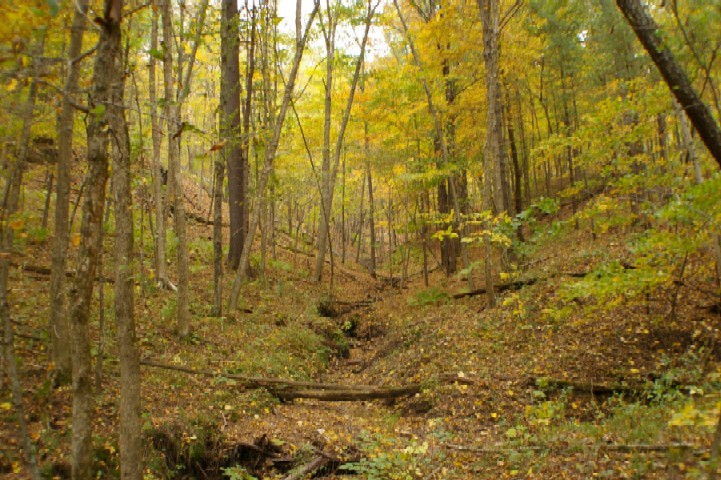
Hemlock Nature Trail: This 1.3-mile loop trail has interpretive stops covering subject such as plants, animals, ecology, and history of the area. The trail begins at the lower picnic area bulletin board.
Ice Cave Trail: This short, easy trail leads to a rock formation that looks like the mouth of a large cave as you approach it. A small spring runs over the edge of the rock formation and freezes into a giant icicle in winter.
Horse Trails:
For those who enjoy getting away from it all, Wildcat Mountain has three color-coded loop horse trails totaling 15 miles. The park does not have horses to rent. Experienced riders can rent horses to ride the park trails from a stable near the Village of Ontario.
Red Loop: The Red Loop begins at the horse campground and winds its way through the park's hills and valleys.
Blue and Yellow Loops: The Blue and Yellow Loops connect to the Red Loop, taking riders farther from the park's main use areas.
Rock Johnson Loop: This short trail begins north of the horse camp and winds its way up onto a high ridge connecting with the Red Loop.
Cross-country Ski Trails:
The park's 7-mile-long ski trail takes you to five scenic overlooks. The trail begins and ends at the upper picnic area. There's a rest stop midway where you can continue or take a short trail turnaround. Beginner and intermediate skiers can enjoy this trail with easy bypasses on steeper areas, as the trail follows along the ridge top.
Birding enthusiasts can enjoy diverse habitats, including hardwood forests and river valleys. Look for warblers during migration seasons. Species like the red-tailed hawk and bald eagle are commonly sighted overhead. The Kickapoo River attracts waterfowl such as wood ducks in its vicinity. Forest birds include pileated woodpeckers, scarlet tanagers, and various owl species at dusk or dawn.
From the north, take State Highway 131 south from Interstate Highway 94 near Tomah about 20 miles to Ontario.
From the west, take State Highway 33 east from La Crosse about 39 miles to Ontario.
From Ontario, go east on State Highway 33 about 2(??) miles. The road to the canoe landing and Hemlock Trail will be on your right, and the road to the rest of the park will be just ahead on your left.
From the east, take State Highway 33 west from Reedsburg about 36(??) miles to the park. The entrance to the main part of the park will be on your right.
From the south, take State Highway 131 north from US Highway 14 at Readstown about 23(??) miles to County Highway F. Go right (east) on Highway F about 1.5 miles to State Highway 33. Turn left (west) on Highway 33 and go about .6(??) mile to the park entrance, which will be on your right.


 Share Your Wildcat Mountain State Park Photos (click here)
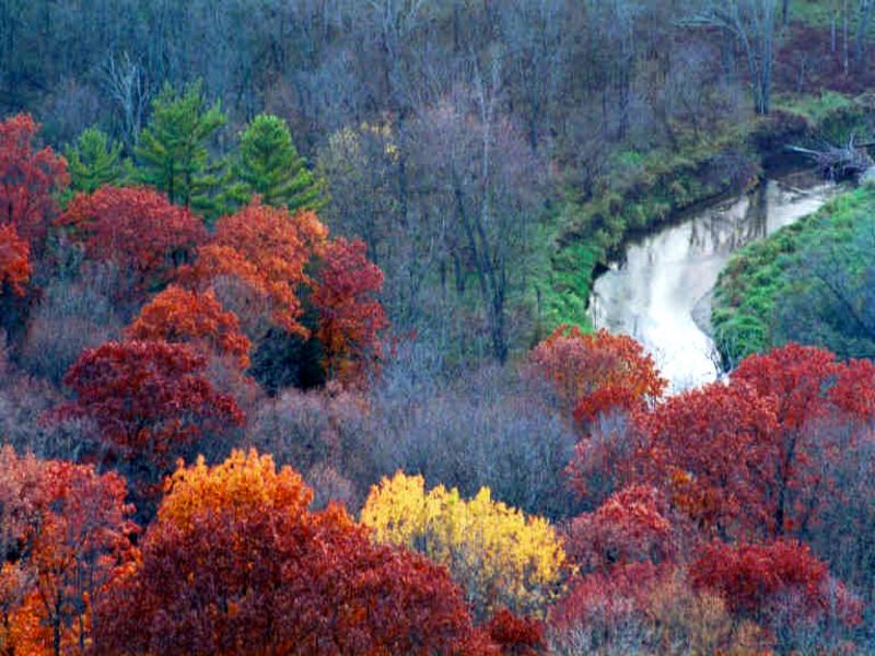