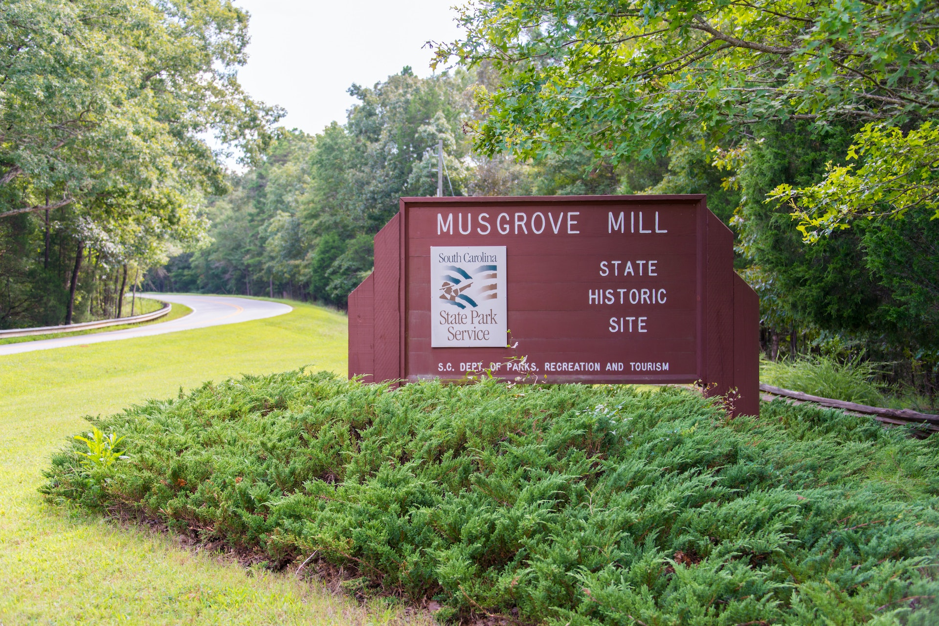
BATTLE OF MUSGROVE MILL STATE HISTORIC SITE
attle ofMusgrove Mill State Historic Sitepreserves, protects, and interprets the siteof the August 19,1780American Revolutionary War battle of Musgroves Mill. This battle between200 Patriot militia and a joint force of 200 Loyalist militia and 300 British Provincial troops was a surprising Patriot victoryanda major turning point during the Revolutionary War.This victoryboosted the failing morale of South Carolina Patriots and dispelled the British high commands belief that they had crushed all Patriot resistance following the major Patriot defeats at Camden on August 16,1780and Fishing Creek on August 18, 1780.Park staff interprets not only the Battle of Musgroves Mill, but also the brutal partisan warfare that took place throughout upstate South Carolina that divided the loyalties of communities and families during the American Revolution
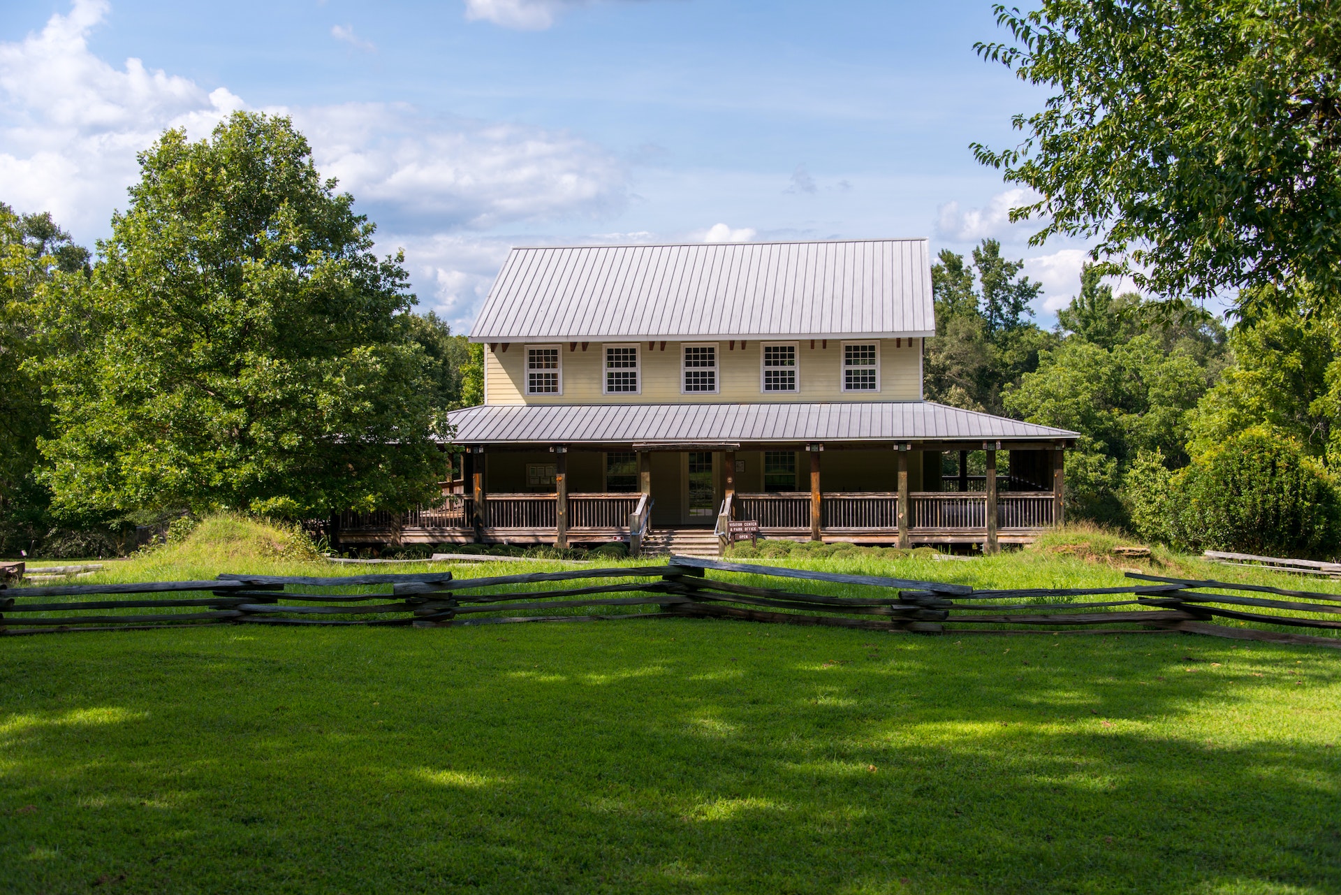
The battleand the history of the Revolutionary War in the South CarolinaBackcountryis detailed through interpretative signage in the Visitor Center and alongthe1-mileBritish Camp Trailand a1.5-mileBattlefield trail.
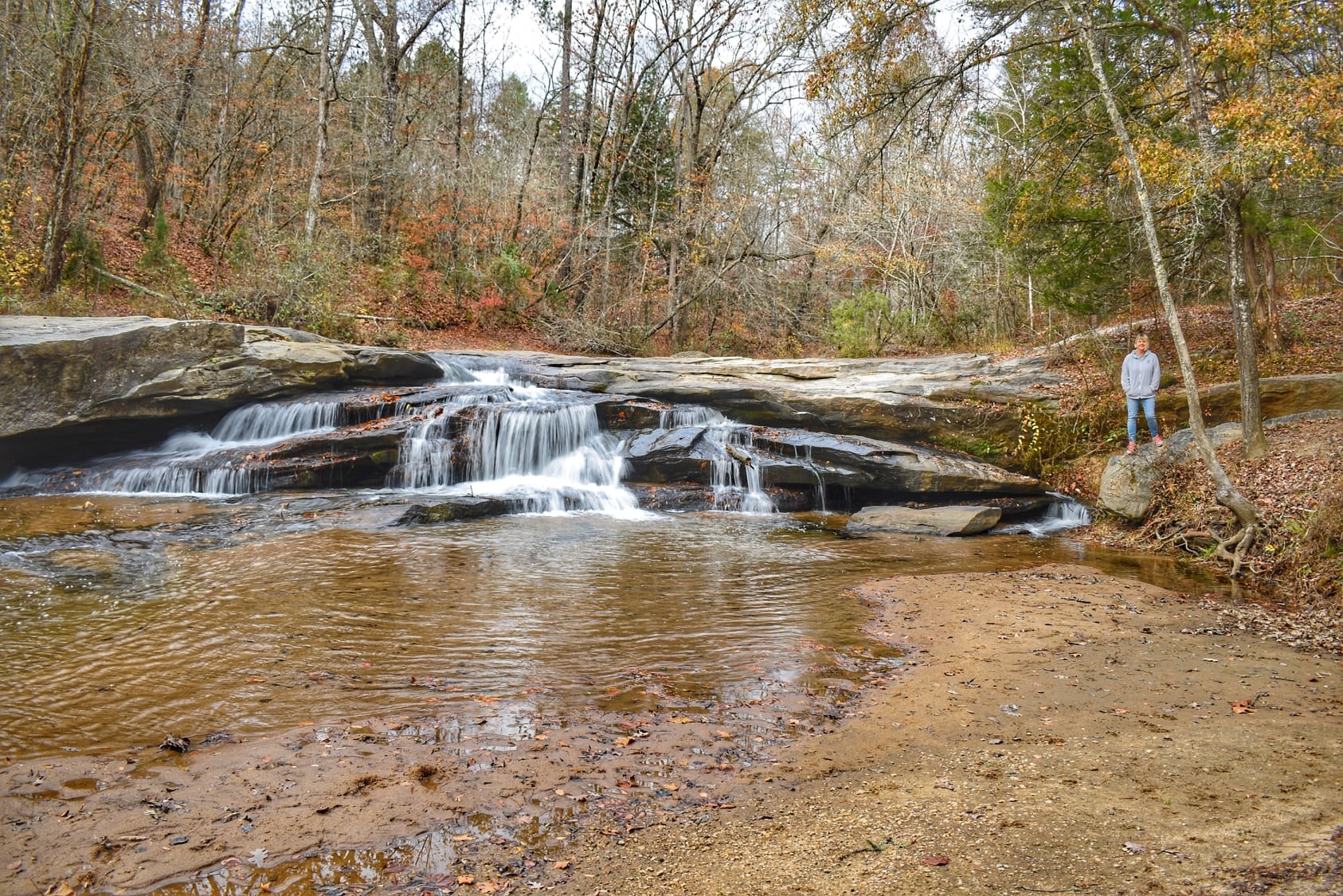
Natural features of the park include Horseshoe Falls, a fishing pond,and theEnoreeRiver.Special events, Ranger Guided Hikes,andLivingHistoryprograms are held at the park throughout the year.
South Carolina offers a variety of Park Passports. You can read more about the South Carolina Park Passports and order online by visiting the
SOUTH CAROLINA PARK PASSPORTS web page.
Battle of Musgrove Mill State Historic Site is located near Clinton, Laurens and Union
Battle of Musgrove Mill State Historic Site offers picnic tables and grills, perfect for a family outing or group gathering.
British Camp Trail
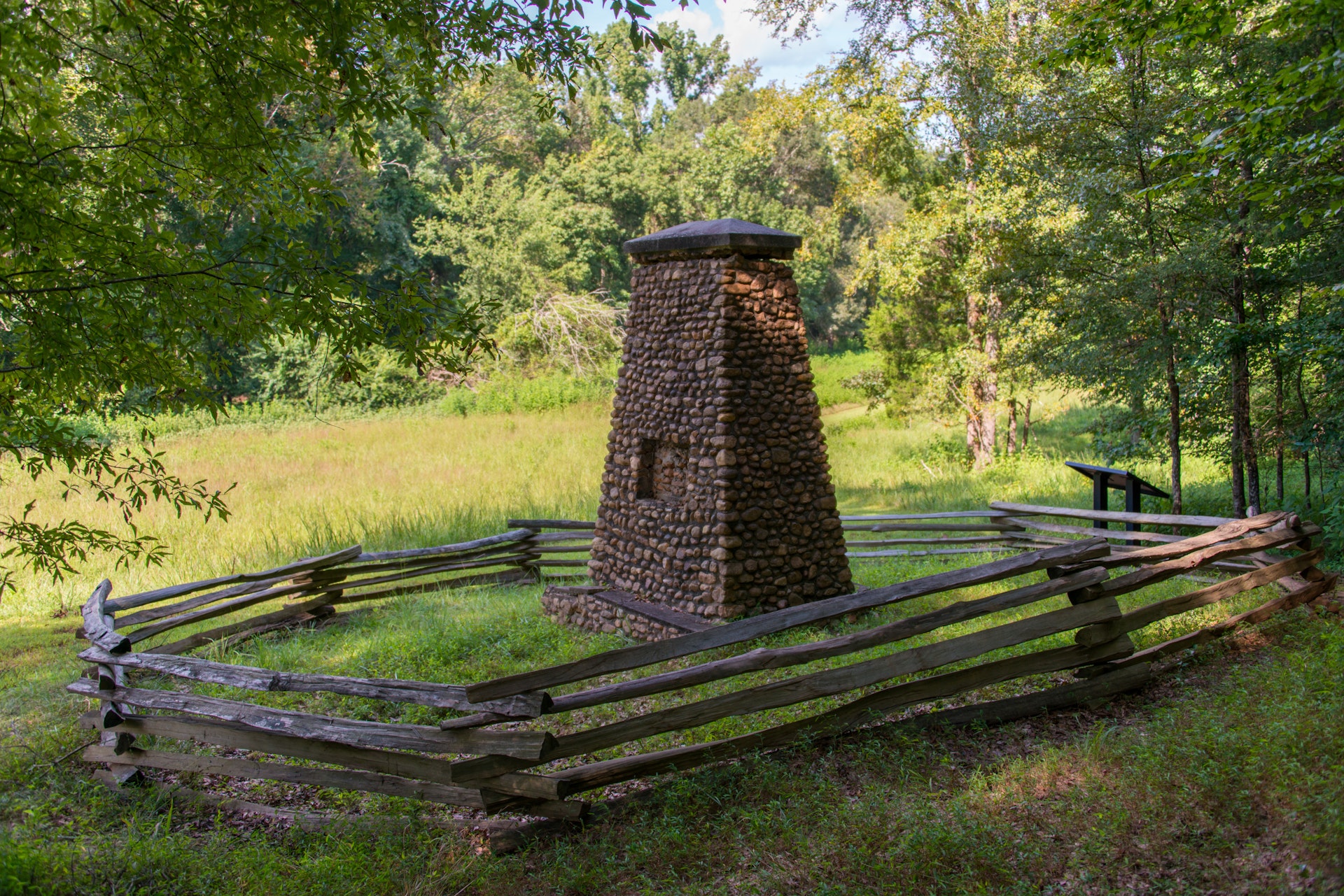
Description The British Camp Trail starts from next to the Picnic Shelter near the parking lot in front of the Visitor Center. The trail loops through the woods along the bank of the Enoree River on what was once the property of Edward Musgrove and the site of a temporary British encampment in August of 1780. Several historic waysides along the trail mark points of interest, including the ruins of the Musgrove house, the Mary Musgrove Monument, the location of the 18th century ford across the Enoree River, and the site were the Musgroves grist mill once stood. The trail ends just past the fishing pond at the kiosk next to the parking lot.
Battlefield Trail
Description The Battlefield Trail begins at the parking lot on Horseshoe Falls Road with the first 0.1 mile being handicapped accessible over a paved ADA walkway to the overlook of Horseshoe Falls. The trail then turns into a natural foot trail that will take you through the hills and woods of the South Carolina Backcountry where the battle of Musgrove Mill was fought on August 19, 1780. Through several historic waysides found all along the trail you will learn the story of the battle, about the Patriots and Loyalists that fought in it, and the importance of the battle to the outcome of the Revolutionary War. The trail ends at the Horseshoe Falls Road parking lot.
Driving Directions From I-26 Westbound Take exit 52 for SC 56 Cross Anchor/Clinton. Turn right onto HWY 56 and drive north for 6 miles. The park entrance will be on the left.
From I-26 Eastbound Take exit 38 for HWY 146 Cross Anchor. Turn left onto HWY 146. Drive east for 6 miles and turn right onto HWY 56. Drive south for three miles and the park entrance will be on the right.
From I-385 Take I-385 to I-26 E. Take exit 52. Take a left onto HWY 56 and travel for 6 miles. The park entrance will be on the left.


 Share Your Battle of Musgrove Mill State Historic Site Photos (click here)
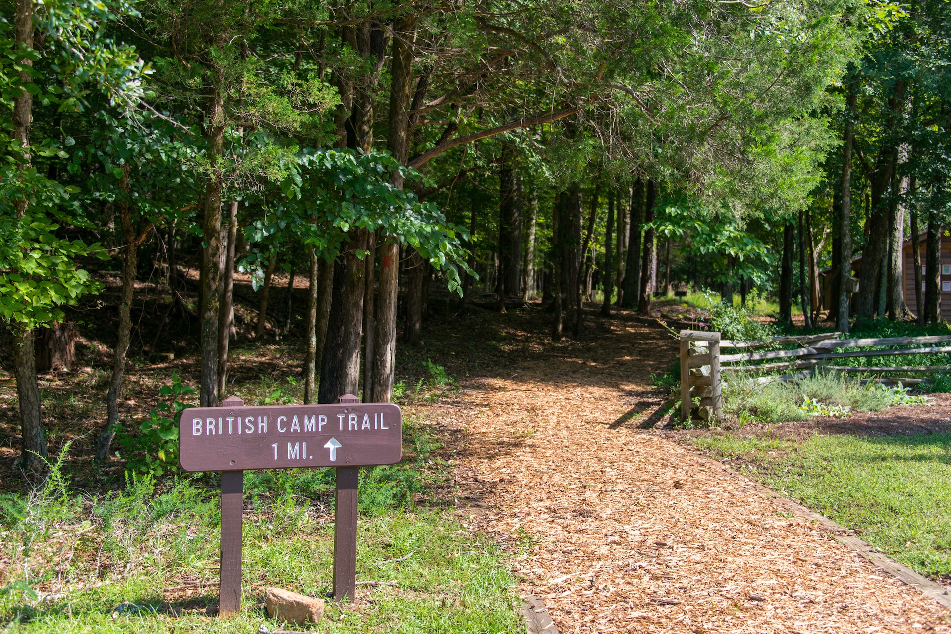