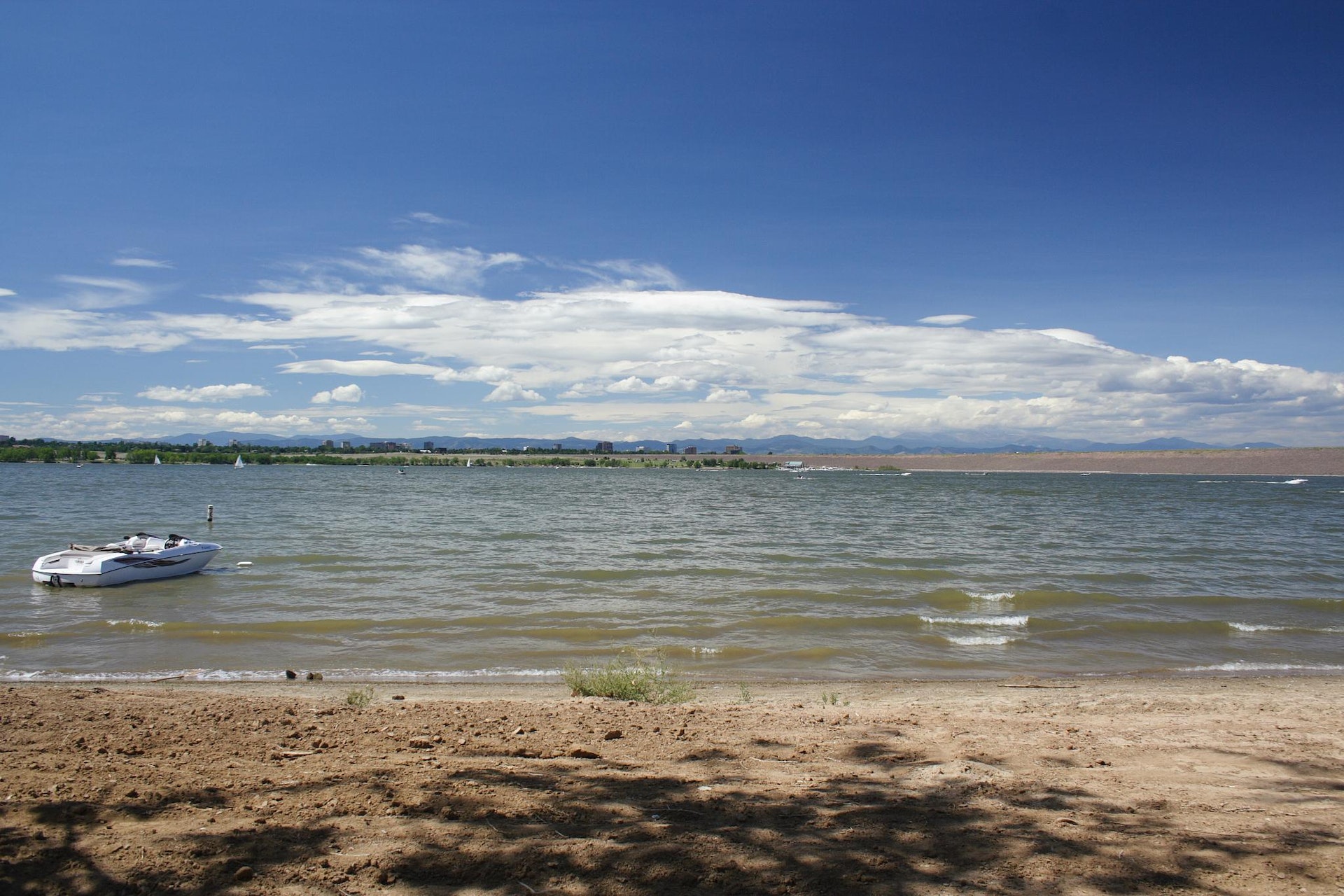
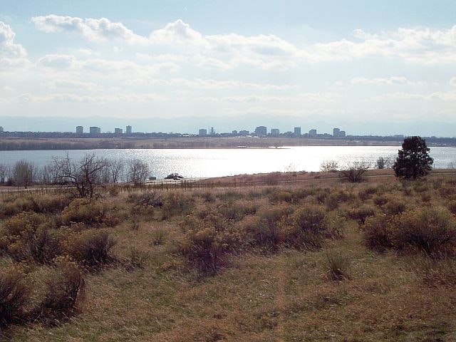
CHERRY CREEK STATE PARK
Welcome to Denver's natural and spacious backyard playground. There's so much to see and enjoy. Summers are busy and action packed while off-peak times are quiet and laid back. Anchored around a 880 surface acre reservoir, the park offers a natural prairie environment of gentle, rolling hills and complete outdoor recreation facilities, including camping, picnicking and facilities for group events.
All Colorado State Parks have entrance fees. All vehicles are required to have an entrance pass and some parks have walk-in fees. Visit the
Colorado Park Entrance Pass web page.
Summer camping April 1 - October 31 - Summer weekends fill fast, with off-peak times providing quieter experiences.
Winter camping November 1st - March 31st Abilene Loop is the ONLY loop available in the winter. Abilene Loop campsites are reservation only.
Dump Station is closed for the winter, but will reopen April 1.
Group sites are most popular on summer weekends and advance reservations are required by calling the Camper Registration Office at 303-693-3957.
The group campsites offer electric only hook-ups.
Water and sewer is available at the dump station near the entrance to the campground. The dump station offers potable and non-potable water.
The park offers a reservoir for anglers, with options like shore fishing and boat-based casting. Common catches include walleye, rainbow trout, largemouth bass, perch, crappie and bluegill. Year-round fishing is available here.
Cherry Creek State Park is located near Arvada, Aurora and Castle Rock
Public picnic tables around the lake on a first come - first serve basis. Group sites must be reserved in advanced.
The 12 Mile Stables at Cherry Creek are now open. The stables offer horse rentals, hay rides, day camps, riding lessons, and horse boarding.
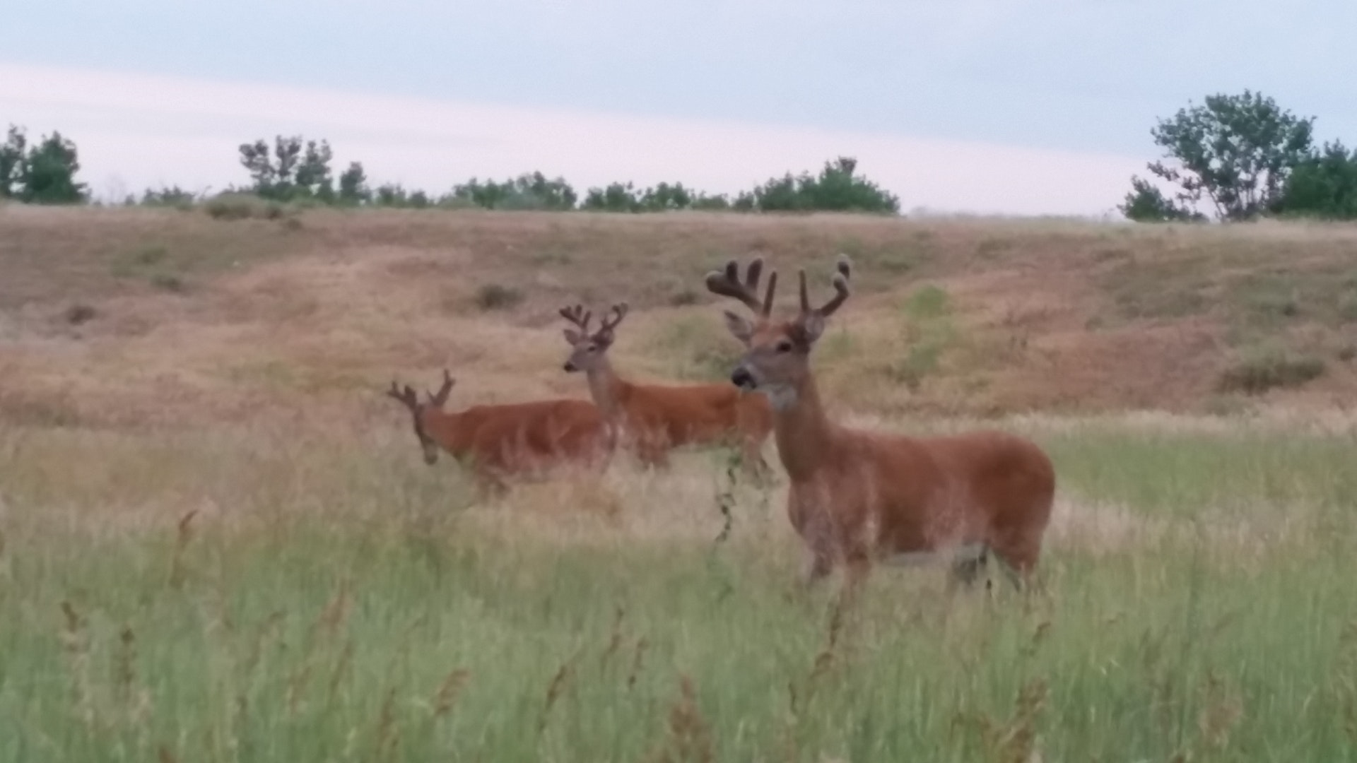
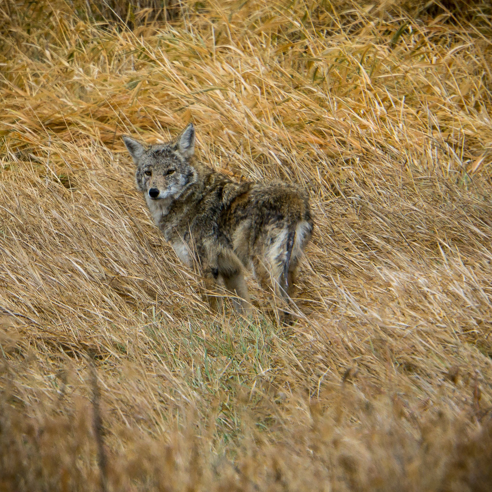
Hikers walk through grasslands, cottonwood trees and marshes along the trails. Wildlife watchers can admire the mule deer and great horned owls year-round.
Birding enthusiasts can explore diverse habitats, including wetlands, grasslands, and woodlands. Common sightings include waterfowl like ducks and geese. Migratory birds such as warblers frequent the area seasonally. Raptors like eagles and hawks are often spotted soaring above. The park's bird checklist features over 200 species for identification assistance during visits.


 Share Your Cherry Creek State Park Photos (click here)
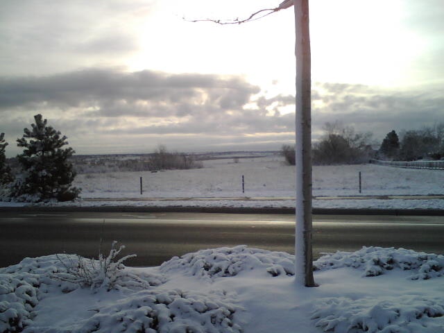