FRUITA CAMPGROUND
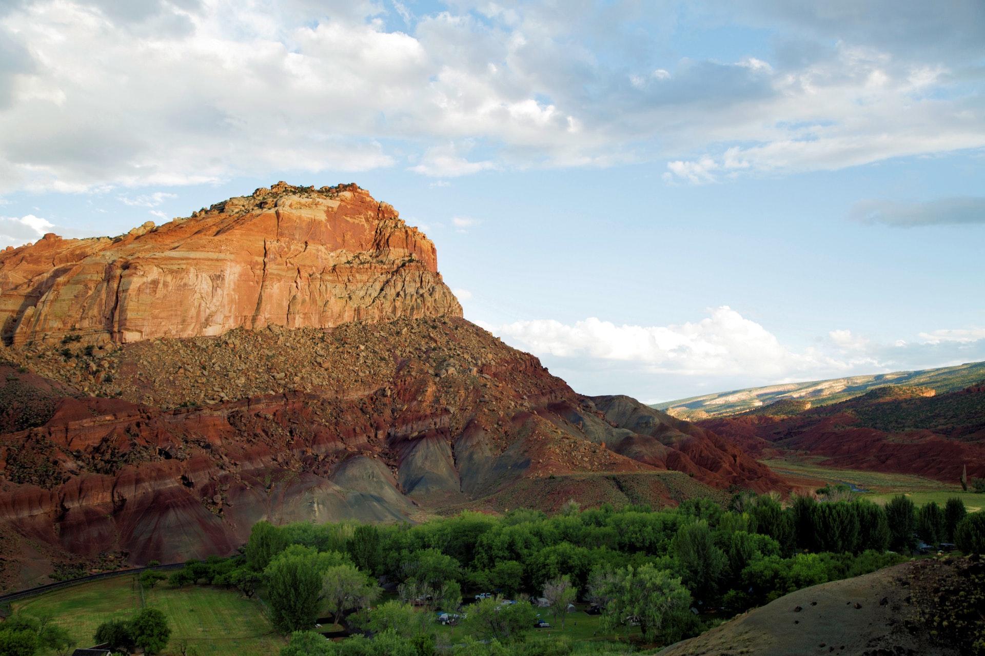
Located in south-central Utah in the heart of red rock country, Capitol Reef National Park is a hidden treasure filled with cliffs, canyons, domes and bridges in the Waterpocket Fold, a geologic monocline a wrinkle on the earth extending almost 100 miles. The Fruita Campground has 71 sites. 65 sites are reservable from March 1 to October 31. Sites 1, 2, 3, 6, 7 and 8 are used as administrative sites. There are no first come first serve sites during peak season.
The Fruita campground is adjacent to the Fremont River and is a short walk from the group site, amphitheater, picnic areas, hiking trails, the historic Gifford house and orchards.Walk to historic inscriptions on the Capitol Gorge Trail and stroll the Goosenecks Trail. Visitors looking for longer trails can explore Cohab Canyon, Chimney Rock and Cassidy Arch.
Enjoy the geology and view the Fremont petroglyph panels along Hwy 24. In addition, the Scenic Drive will introduce you to the fascinating cultural and geological history of Capitol Reef National Park. The drive includes a portion of the original road through the Waterpocket Fold. The road passes through parts of the Fruita Historic District and follows the western faces of the Waterpocket Fold, and spur roads allow exploration into beautiful Grand Wash and Capitol Gorge.
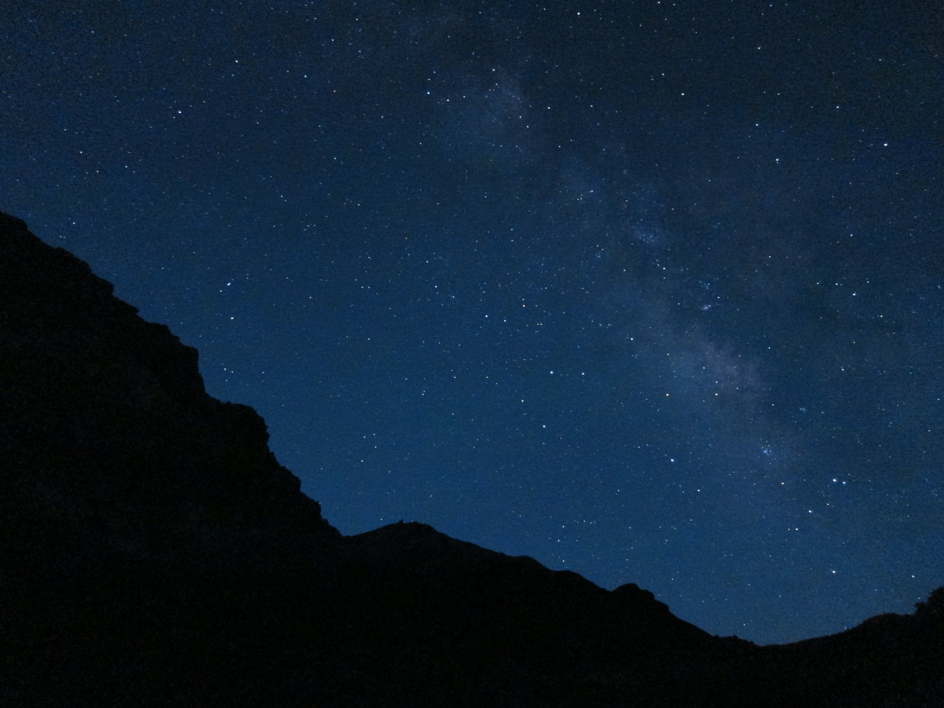
Check at the visitor center for a current schedule of interpretive programs, which may include geology talks, Fremont culture talks, evening programs, star gazing, moonwalks and geology hikes. Stop in at Ripple Rock Nature Center to experience interactive exhibits, games, activities and free educational programs.
Wander through the historic Fruita orchards and pick fresh fruit when in season. The orchards contain approximately 3,100 trees including cherry, apricot, peach, pear, apple, plum, mulberry, almond and walnut.
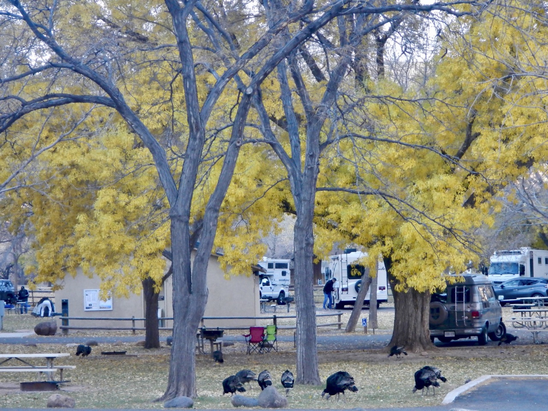
Discover Mormon pioneer history at the historic Gifford House store and museum.This developed campground has 71 campsites. Each site has a picnic table and fire ring except sites 7, 48 and 50, which only have an above ground grill. There is a RV dump and potable water fill station near the entrance to Loops A and B. Campsites have no individual water or sewage hookups. There are no electrical hookups available. Restrooms have running water and flush toilets, but no showers. Accessible campsites are located adjacent to restrooms.
The Fruita Campground area is located one mile south of the visitor center and is often described as an oasis within the desert. Fruita Campground is a semi-shaded, grassy campground and is located in the Fruita Historic District of the park.


 Share Your Fruita Campground Photos (click here)
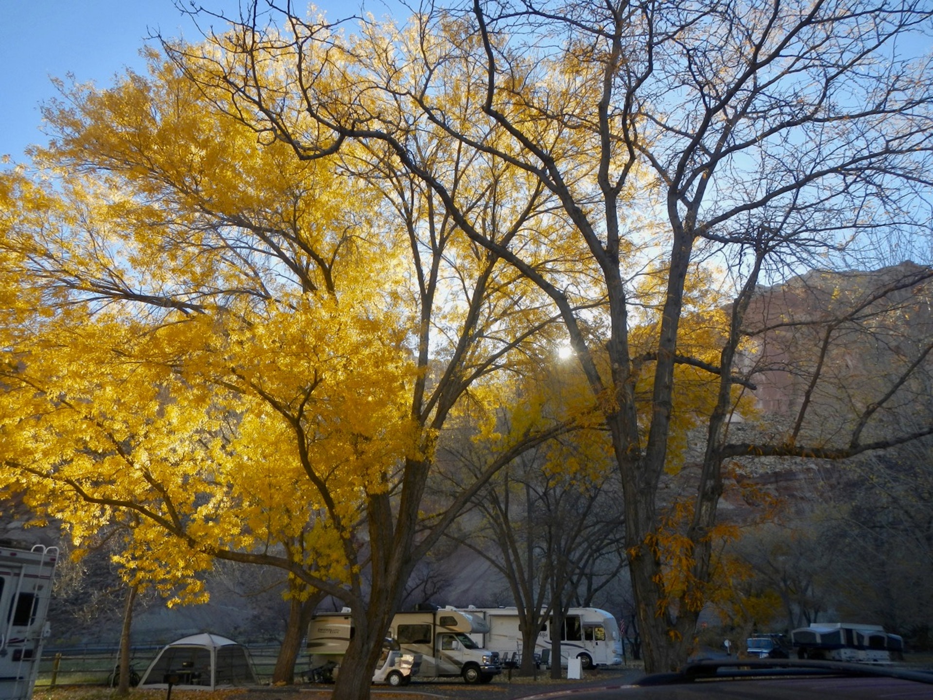