GREY CLIFFS CAMPGROUND
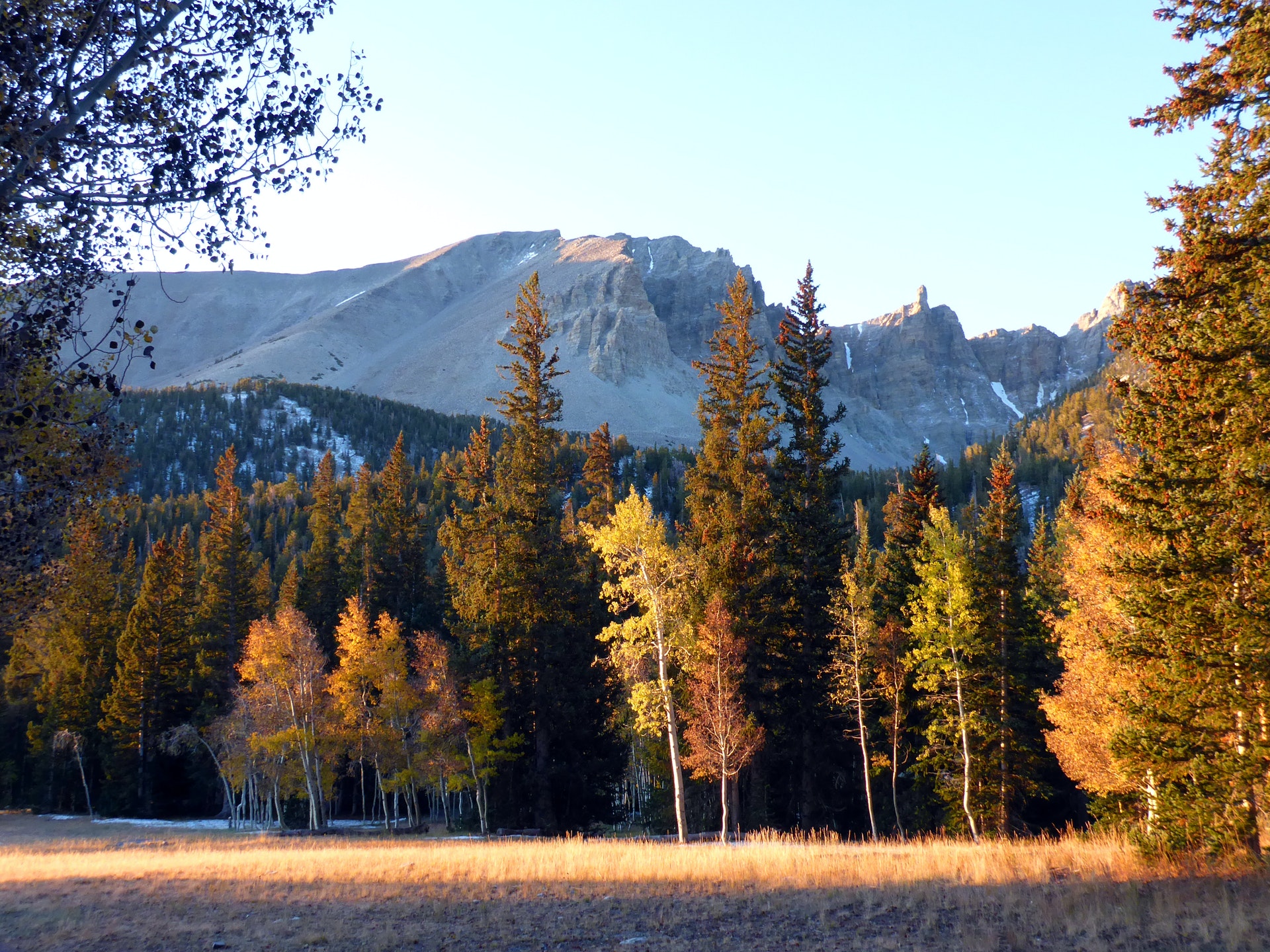
For visitors to Great Basin National Park, Grey Cliffs Campground is an ideal place to setup and start exploring. Experience the solitude of the desert, the smell of sagebrush after a thunderstorm, the darkest of night skies, and the beauty of Lehman Caves .The park offers a variety of trails with views of mountain peaks and alpine lake surrounded by beautiful cliffs at trail's end. Reserve a guided tour of Lehman Caves, take the scenic drive to the face of 13,063 foot Wheeler Peak or see 5,000 year old Bristlecone pine trees grow on rocky glacial moraines.The Grey Cliffs Campground offers vault toilets only. There is no potable water, but water is available at the first-come, first-served Baker Creek Campground, the RV Sanitary Station from late spring through early fall or year round at the Lehman Caves Visitor Center.
A campfire is allowed in campfire rings only. RVs are not permitted due to space constraints.The campground is tucked beside limestone cliffs and set amongst pinion pines.Hike along the Baker Lake Trail, reserve a guided tour of Lehman Caves , take the scenic drive to the face of 13,063 foot Wheeler Peak or see 5,000 year old Bristlecone pine trees grow on rocky glacial moraines.


 Share Your Grey Cliffs Campground Photos (click here)
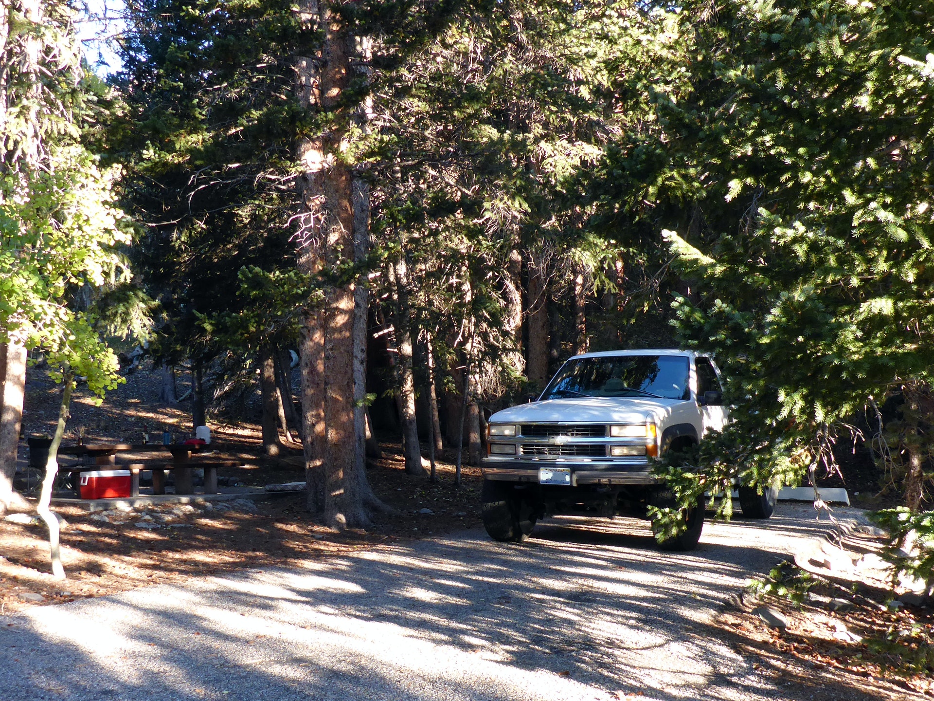