HAT ROCK STATE PARK
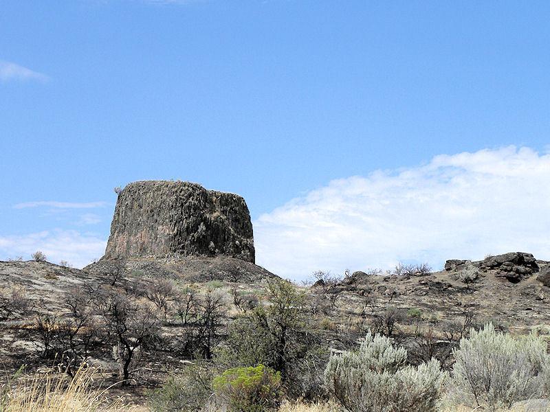
Hat Rock State Park, located off U.S. Highway 730 nine miles east of Umatilla, lies on the south shore of Lake Wallula behind McNary Dam on the Columbia River. Hat Rock was the first distinctive landmark passed by the Lewis and Clark Expedition on their journey down the Columbia, and is one of the few remaining sites not underwater.
The park is a desert oasis surrounded by rolling sagebrush hills and outcroppings of basalt. The park offers visitors a chance to escape the summer heat under the shelter of cottonwood and black locust ringed by acres of green grass. A boat ramp provides access to the lake, which is noted for walleye, sturgeon, and other fish. Waterskiing, jetskiing, swimming, and boating are popular here. The park has its own pond ? stocked with rainbow trout ? and provides year-round habitat for waterfowl.
Bring the kids, enjoy a day on the water, fish in the pond, or play volleyball in the sand court. Hat Rock offers the opportunity to get out and enjoy nature with spacious, well-maintained grounds that offer lots of room for your family or large group to get together for outdoor recreation and fun.


 Share Your Hat Rock State Park Photos (click here)
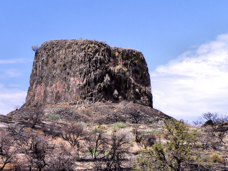