KEYHOLE STATE PARK
Keyhole is a mecca for both resident and migrating birds of all species. Visitors also have the opportunity to enjoy a variety of other wildlife, including mule deer, pronghorn antelope and wild turkeys. There is a marina and motel located on the headquarters side of the lake and operated by a concessionaire. The concessionaire has pop, alcohol, groceries, bait, tackle, fishing licenses and 10 electric campsites that he reserves. There is a public boat ramp at the marina.
Arch Rock: There are 13 campsites with gravel pads, one universally accessible site with cement pad, fire rings, picnic tables, a comfort station and water hydrants spaced through out in the campgrounds. There is one pull through campsite and there is overflow parking for extra vehicles. Most of the campsites are in the pine trees. When the reservoir is full, there is easy access to the water.
Tatanka: There are 33 campsites with gravel pads, two universally accessible sites with cement pads, fire rings, picnic tables and restrooms. The water hydrants are easily accessible to the campgrounds. There are five tent campsites with one universally accessible tent site, fire rings and picnic tables. There is overflow parking for extra vehicles. Most of the campsites are in the pine trees with a few without shade. There is a universally accessible shelter that is day-use only and can be reserved. When the reservoir is full there is easy access to the water.
Pronghorn: There are 33 campsites with gravel pads, two universally accessible sites with cement pads, fire rings, picnic tables, restrooms and water hydrants spaced throughout the campgrounds. There is universally accessible playground equipment at the campground. There is overflow parking for extra vehicles. Most of the sites are back-in with a few pull-through. The campsites are located in the pine trees. The access to the reservoir water is more difficult because of the terrain.
Beach Area: There are six sites that are not developed; so, there is no pad and the ground is not level. There are fire rings, picnic tables, a restroom and water hydrant within close walking distant to the campgrounds. The sites are in or near the pine trees. All sites are within easy walking distance of the reservoir.
Pat?s Point: There are 45 sites; some have been developed and have a gravel pad while others are on the grass. All the sites have fire rings, picnic tables, restrooms and water hydrants spaced throughout the campground. Some of the sites are in the trees while most are out in the open. The campsites have easy access to the reservoir. There is a shelter that can be reserved. There is a public boat ramp in this area when the reservoir is full.
Homestead: There are 40 campsites with gravel pads and three universally accessible sites with cement pads, fire rings, picnic tables, restrooms and water hydrants spaced throughout the campgrounds. The sites are along the pine trees. Most of the sites are back-in, but there are a number of them that are pull-through. The campsites are away from the reservoir.
Cottonwood: There are 35 undeveloped campsites with fire rings, picnic tables, restrooms,and water hydrants throughout the campgrounds. There is universally accessible playground equipment located in the middle of the campgrounds. There is no easy access to the reservoir. There is a shelter that can be reserved. The campsites are in among the pine trees.
Rocky Point: There are 22 undeveloped campsites with fire rings, picnic tables, restrooms and water hydrants throughout the campgrounds. Most of the sites are out in the open but have easy access to the reservoir.
Wind Creek: There are 16 undeveloped campsites with fire rings, picnic tables and restrooms. There is NO drinking water in this campground. Most of the campsites are in or near the pine trees. There is a public boat ramp in the area when the reservoir is full.
Coulter Bay: There are 16 undeveloped campsites; half are walk in tent camping along the rock cliffs. Each site has a fire ring and, and picnic table, and restrooms and water hydrants are near by. There is an area that can be reserved. This area is used as a major boat launch area.


 Share Your Keyhole State Park Photos (click here)
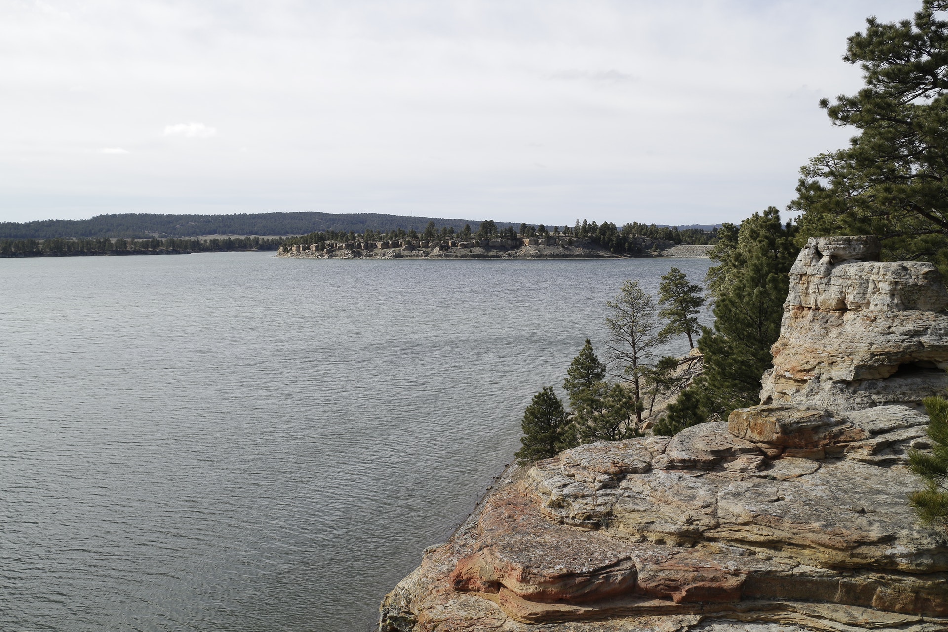