LOWER PINES CAMPGROUND
Lower Pines Campground is located in breathtaking Yosemite National Park in Central California's rugged Sierra Nevada Mountain Range at an elevation of 4,000 feet. The site is situated in the heart of Yosemite Valley, an awe-inspiring landscape containing many of the famous features for which Yosemite National Park is known. Within Yosemite, visitors gaze upon waterfalls, sheer granite cliffs, deep valleys, grand meadows, ancient giant sequoias, vast wilderness areas and much more.
Reservation tips Campsites in Yosemite are extremely popular and typically sell out in minutes. Login to your account or create a new account before the 700 a.m. PST release time. You may only add reservations to your cart and proceed with your reservation if you are logged into your account.
Lower Pines Campground is one of the three reservation campgrounds in Yosemite Valley. It offers paved roads and parking spurs, flush toilets, drinking water, and an amphitheater. Each campsite contains a picnic table, fire ring, and a food storage locker. Yosemite's free shuttle bus stops at the campground entrance. Within walking distance, historic Curry Village offers a general store, restaurants and a bar, amphitheater, and tours and activities desk.
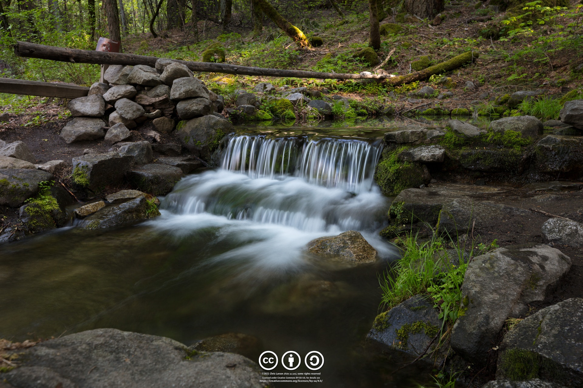
Yosemite Valley is forested with a diverse mix of California black oak, ponderosa pine, incense-cedar, white fir and whiteleaf manzanita, which offers a pleasant combination of sun and shade. Through the trees, Yosemite's telltale granite cliffs peek through, and the gentle, refreshing Merced River flows nearby.Glacier Point offers sweeping views of Yosemite Valley, Little Yosemite Valley, Half Dome, Vernal and Nevada Falls, and Clouds Rest, among other notable landmarks and a visit to Wawona and the Pioneer Yosemite History Center is like stepping back in time.
The Tioga Road offers a 39-mile scenic drive past forests, meadows, lakes, and granite domes. Tuolumne Meadows embodies the high-country of the Sierra Nevada, with its broad sub-alpine meadows and granite domes and peaks and the beautiful Hetch Hetchy Reservoir is home to spectacular scenery and numerous wilderness trailheads.Yosemite's trails, cliffs, roads and rivers provide endless recreational activities for any kind of visitor. Hiking, biking, rock climbing, fishing, horseback riding, rafting, auto touring and photography are all very popular activities within the park. Hiking trails range from the easy, paved, two-mile round-trip walk to Mirror Lake/Meadow, to the grueling but rewarding 14- to 16-mile trek to Half Dome advanced permit required. Both of these trails begin near the Pines Campgrounds, and there are many additional trailheads within Yosemite Valley. Rafting the Merced River is a fun way to cool down on a summer day when water levels are sufficient. Yosemite Valley also offers numerous guided bus tours, educational programs, museums, ranger-led activities,and an art center with workshops.
 Bridalveil Creek Group and Horse Camp
As of the 2021 season, Bridalveil Creek Campground's family sites will no longer be first come, first serve . Reservations must be made.
Beginning Friday, May 21, and continuing through Thursday, September 30, day use reservations will be required to enter Yosemite. If you obtain a wilderness permit, lodging or camping reservation, you are exempt
....moreCrane Flat Campground Crane Flat Campground is located in breathtaking Yosemite National Park in Central California's rugged Sierra Nevada Mountain Range. The site is conveniently located 17 miles from Yosemite Valley at an elevation of 6,200 feet. Within Yosemite, visitors can gaze upon waterfalls, sheer granite cliffs, deep valleys, grand meadows, ancient giant sequoias, vast
....more Hodgdon Meadow Campground Hodgdon Meadow Campground is located in breathtaking Yosemite National Park in Central California's rugged Sierra Nevada Mountain Range. The site is 25 miles from Yosemite Valley at an elevation of 4,875 feet. Within Yosemite, visitors can gaze upon waterfalls, sheer granite cliffs, deep valleys, grand meadows, ancient giant sequoias, vast wilderness
....more Wawona Campground Wawona Campground is located in breathtaking Yosemite National Park in Central California's rugged Sierra Nevada Mountain Range. The site is situated at the southern end of the park, 27 miles and approximately 45 minutes from Yosemite Valley, at an elevation of 4000 feet.
Wawona was home to the park's headquarters in 1904 and historic structures still
....more


 Share Your Lower Pines Campground Photos (click here)
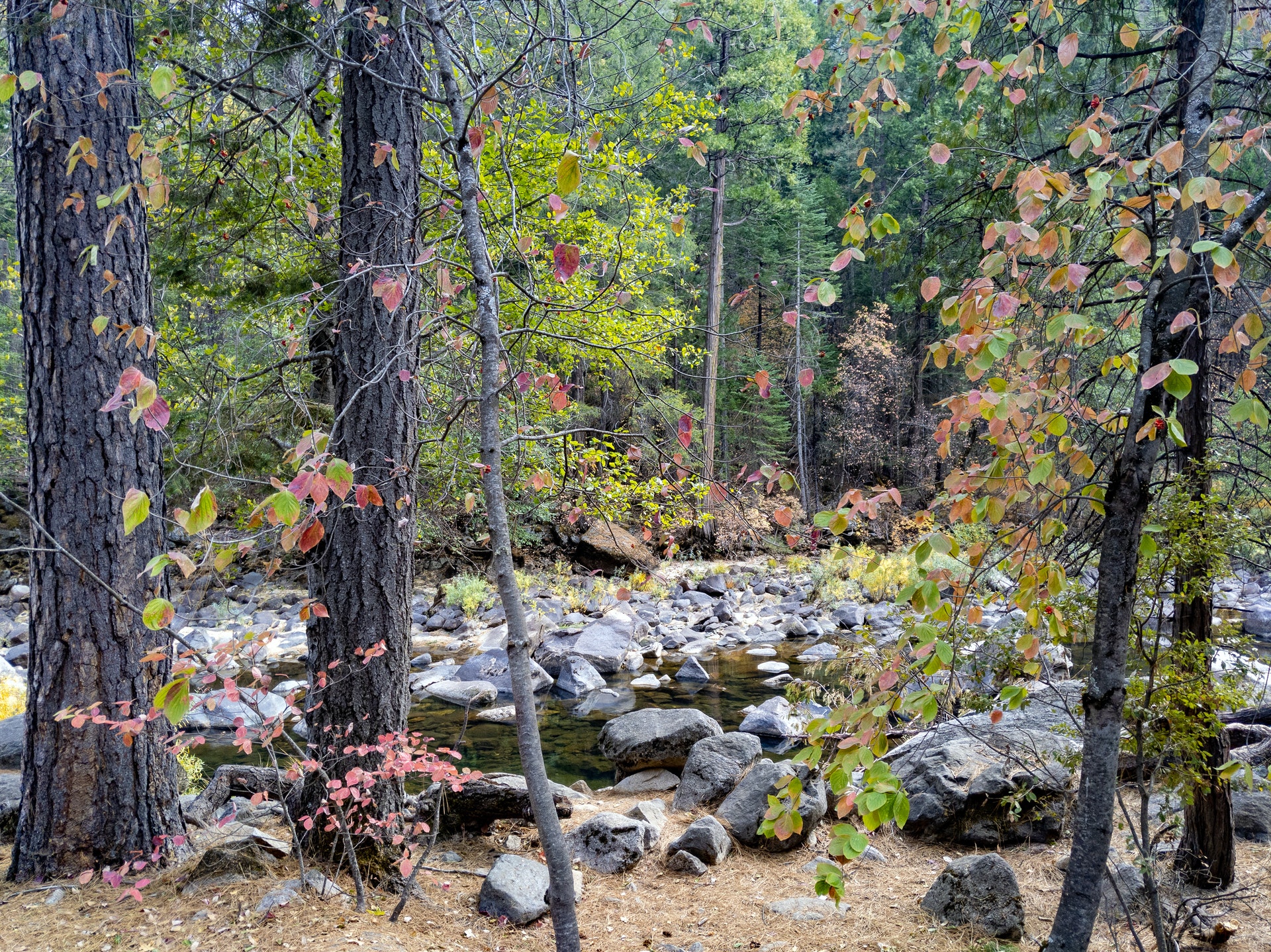