RIO GRANDE NATIONAL FOREST
RIO GRANDE NATIONAL FOREST
The Rio Grande National Forest (NF) is 1.86 million acres located in southwestern Colorado and remains one of the true undiscovered jewels of Colorado. The Continental Divide runs for 236 miles along most of the western border of the Forest. The Forest presents myriad ecosystems; from 7600-ft alpine desert to over 14,300-ft in the majestic Sangre de Cristo Wilderness on the eastern side. The Forest embraces the San Luis Valley, the largest agricultural alpine valley in the world and includes all or parts of four Wilderness Areas (South San Juan, Weminuche, La Garita and Sangre de Cristo). The Forest also is the headwaters of the Rio Grande River and has the moonscape wonder of the Wheeler Geologic Area, established by Theodore Roosevelt in 1911. The Anasazi were visitors here and many of their sites remain.
Denver is 4-hours north and Albuquerque is 4-hours south of us, so when you get the itch to experience some outdoor recreation opportunities come and see us.
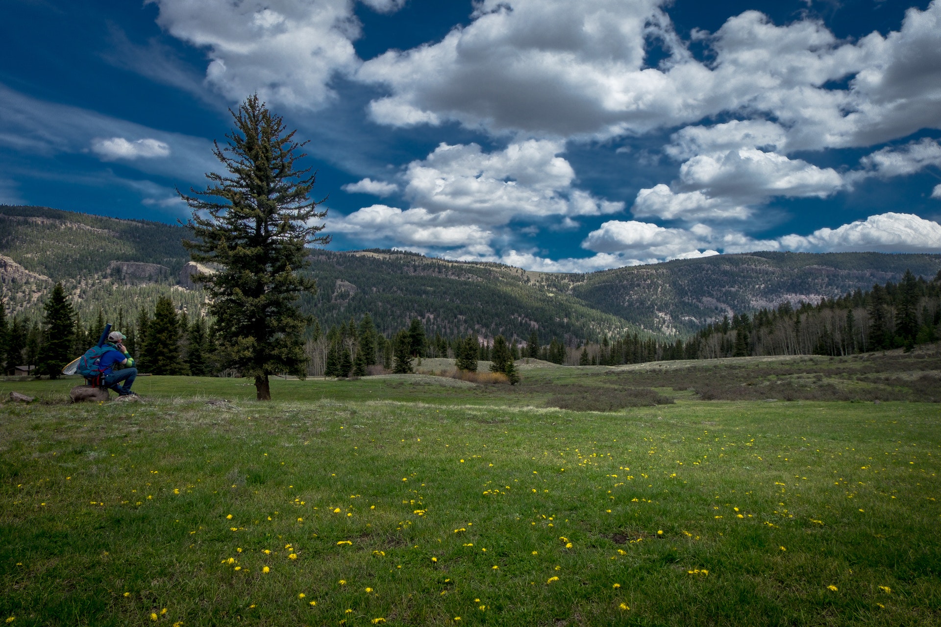
For the outdoor enthusiast, the Rio Grande NF has recreation and adventure opportunities for the heartiest of souls, or enjoy the backcountry from the Cumbres & Toltec Narrow Gauge Railroad which runs from Antonito, Colorado across the Forest to Chama, New Mexico. Whether walking, driving or riding, the Rio Grande NF has something for everyone.
Long summer days in the 80's transition through a colorful and crisp fall to what can be an extreme winter, with temperatures often dipping well below zero and, in some years, frequent snows.


 Share Your Rio Grande National Forest Photos (click here)
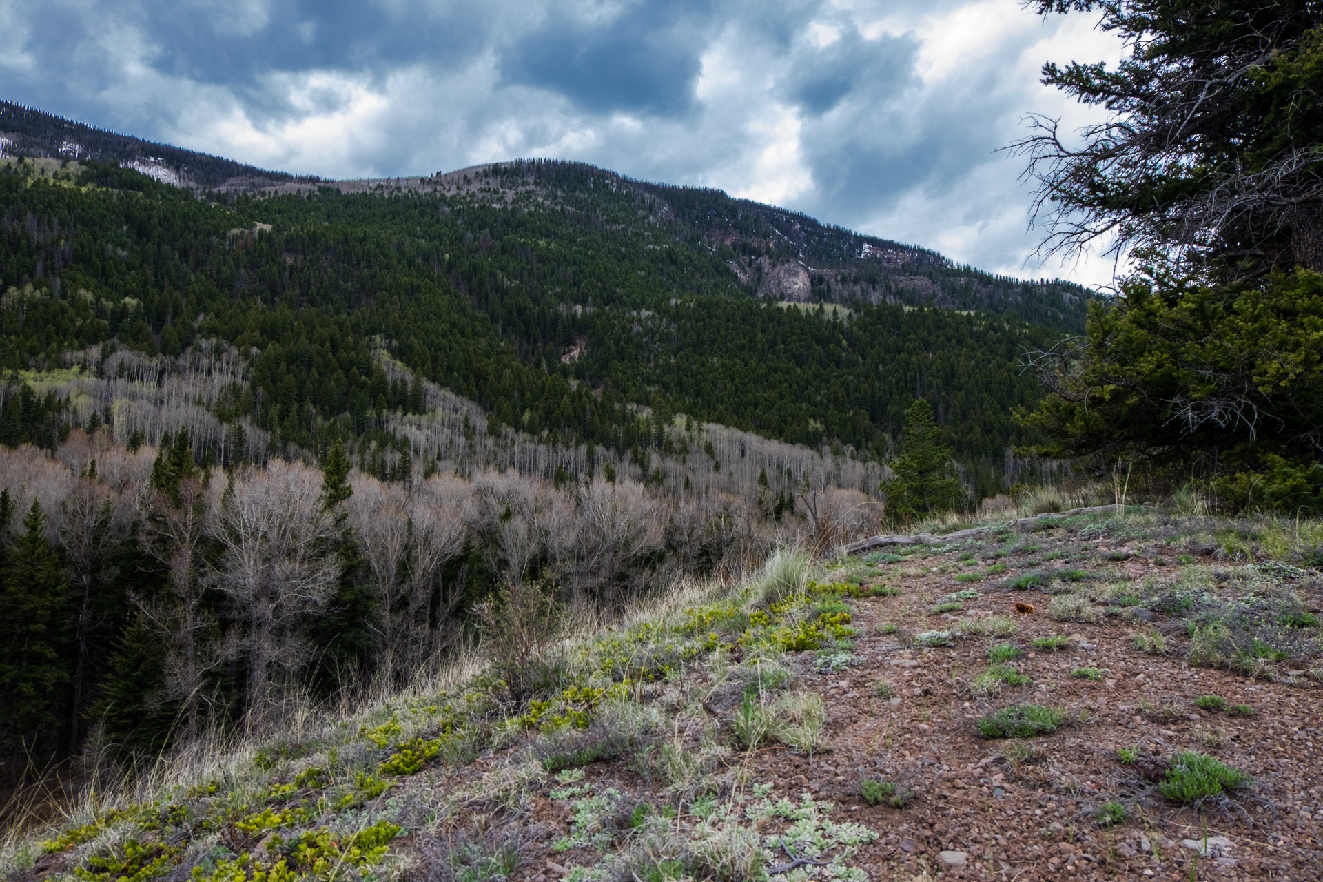