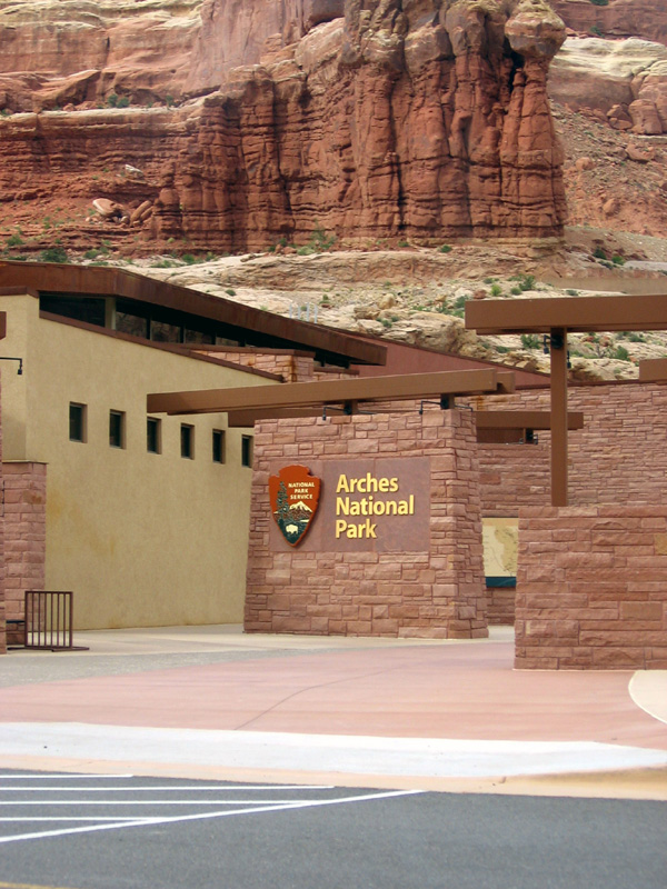
ARCHES NATIONAL PARK
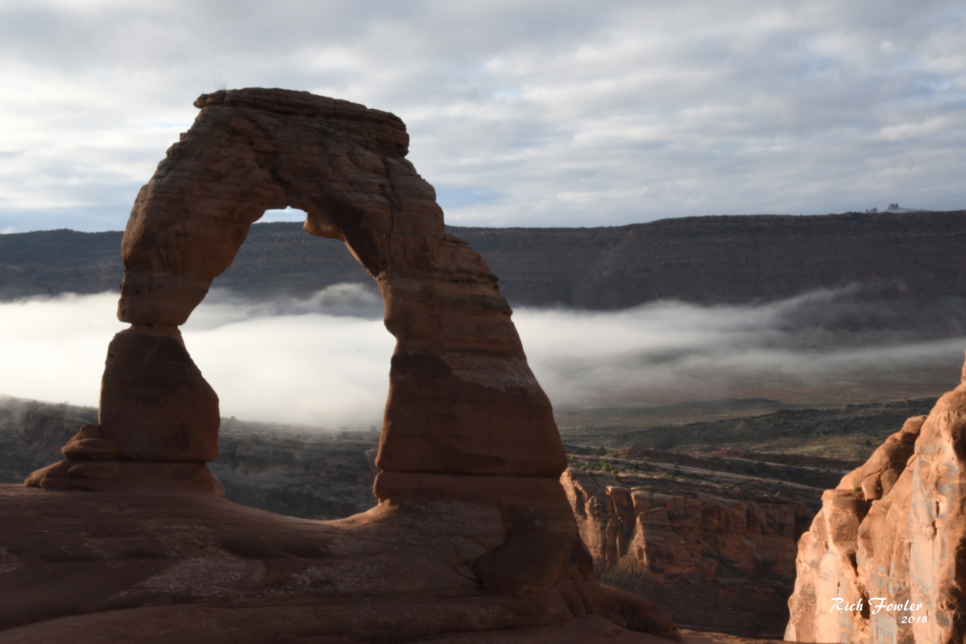
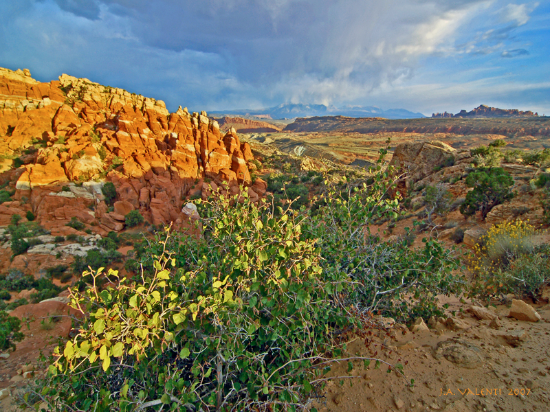
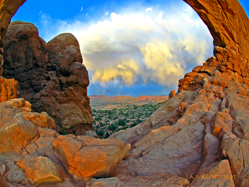
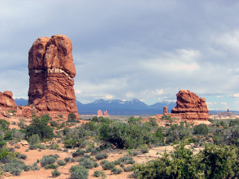
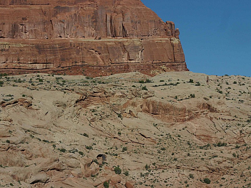
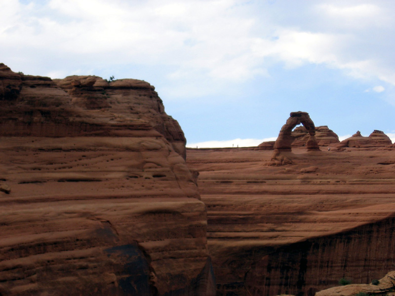
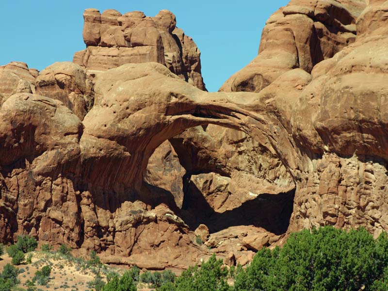
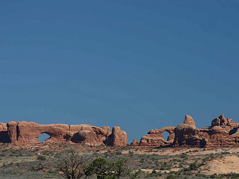
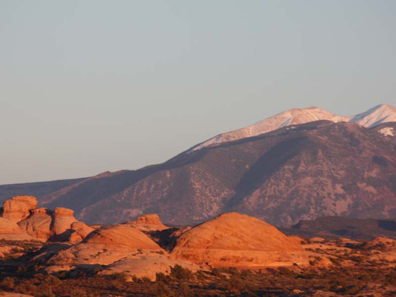
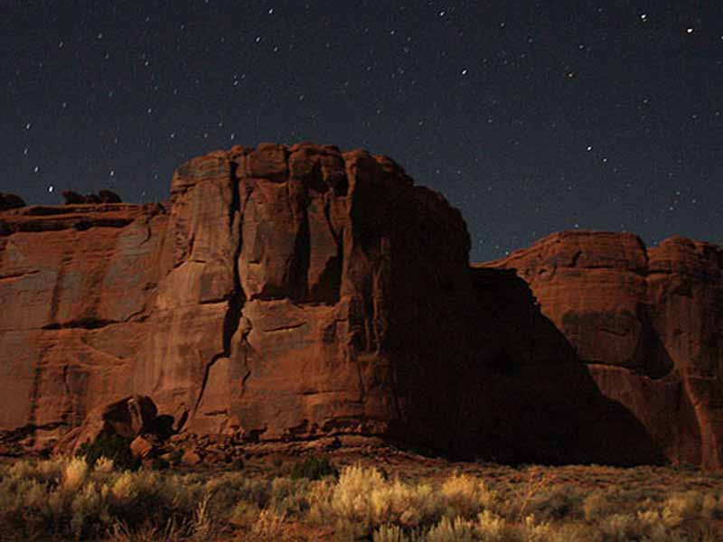
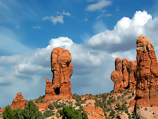
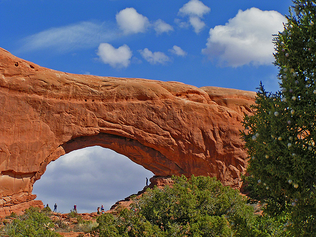
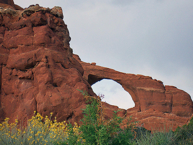
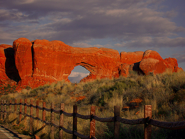
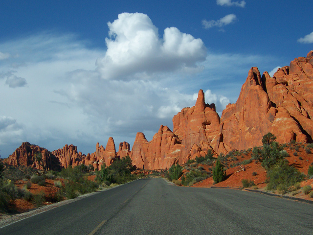
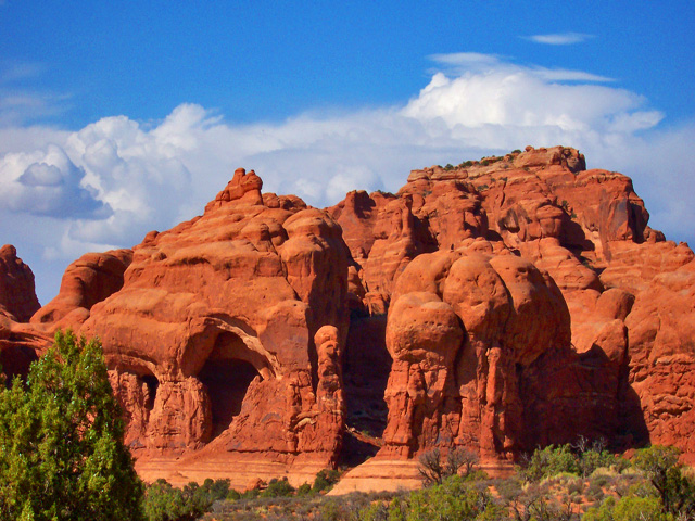
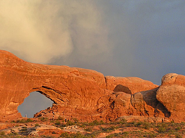
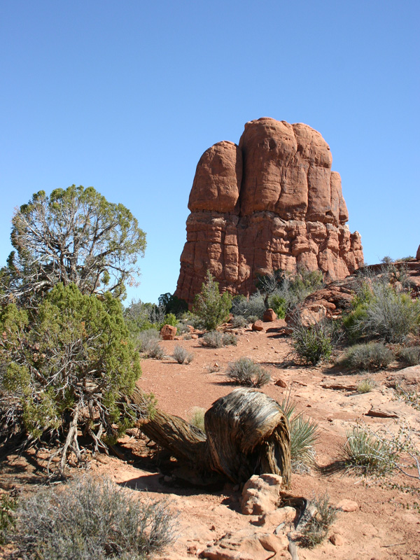
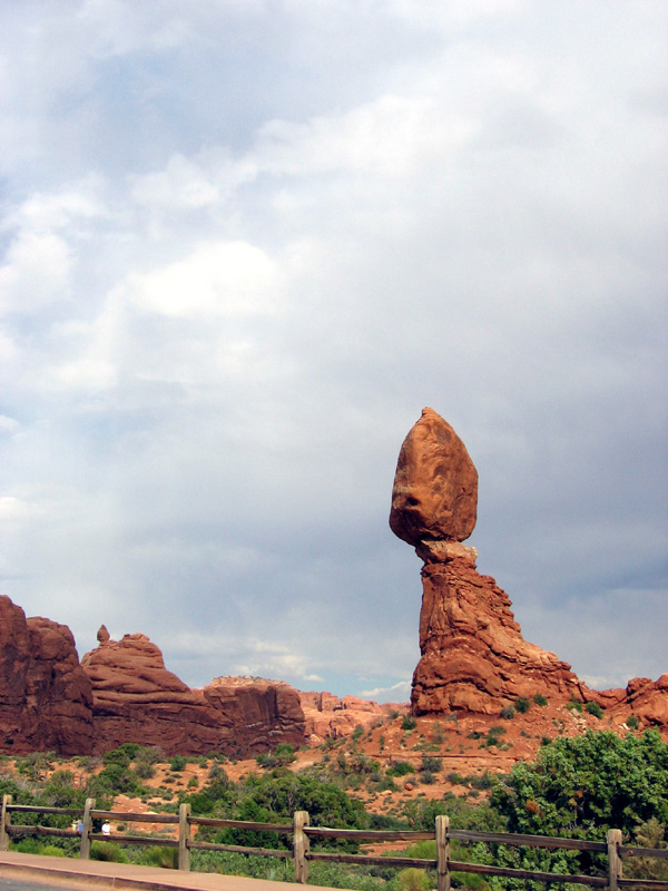
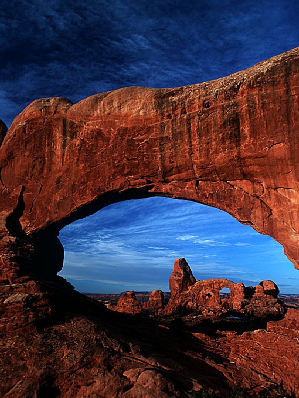
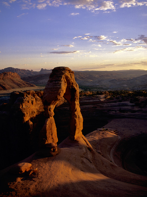
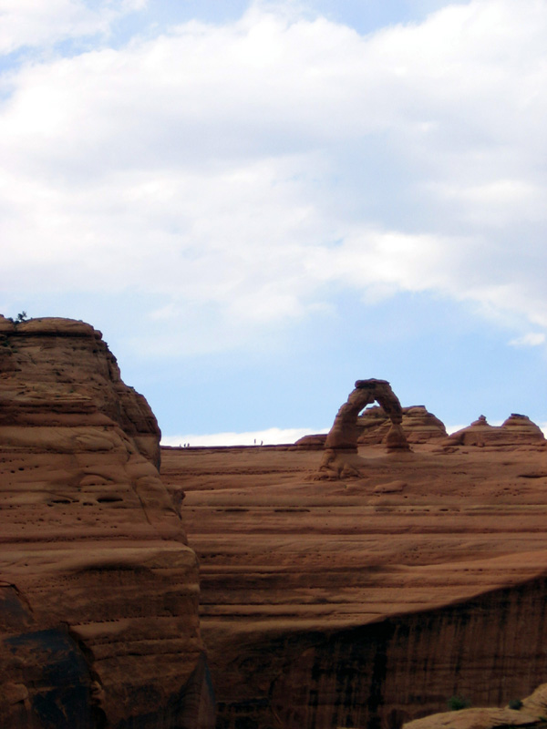
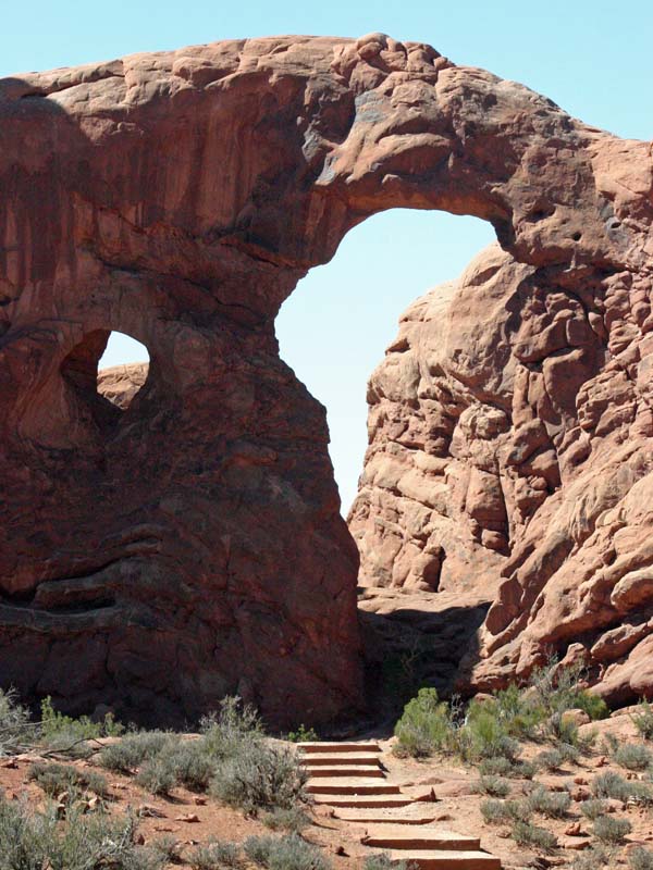
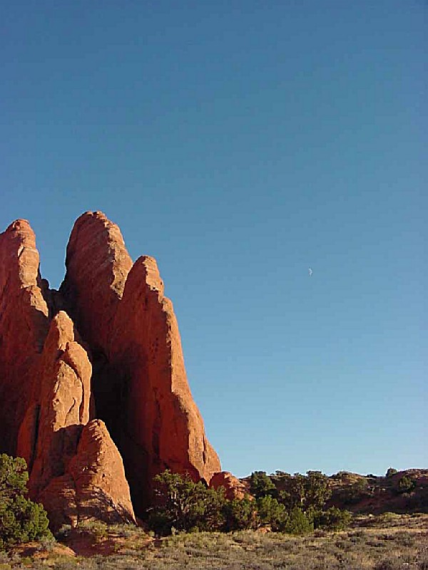
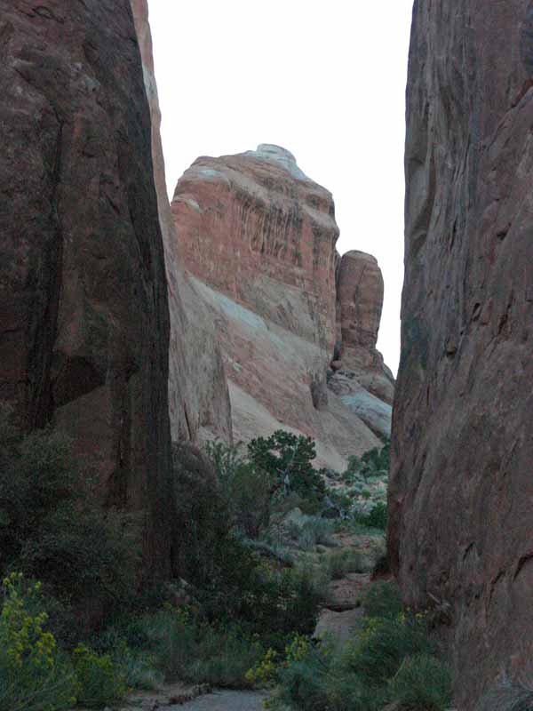
Arches National Park preserves over two thousand natural sandstone arches, including the world-famous Delicate Arch, in addition to a variety of unique geological resources and formations. In some areas, faulting has exposed millions of years of geologic history.The extraordinary features of the park, including balanced rocks, fins and pinnacles, are highlighted by a striking environment of contrasting colors, landforms and textures.
HISTORY AND CULTURE:
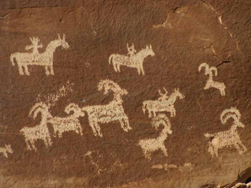
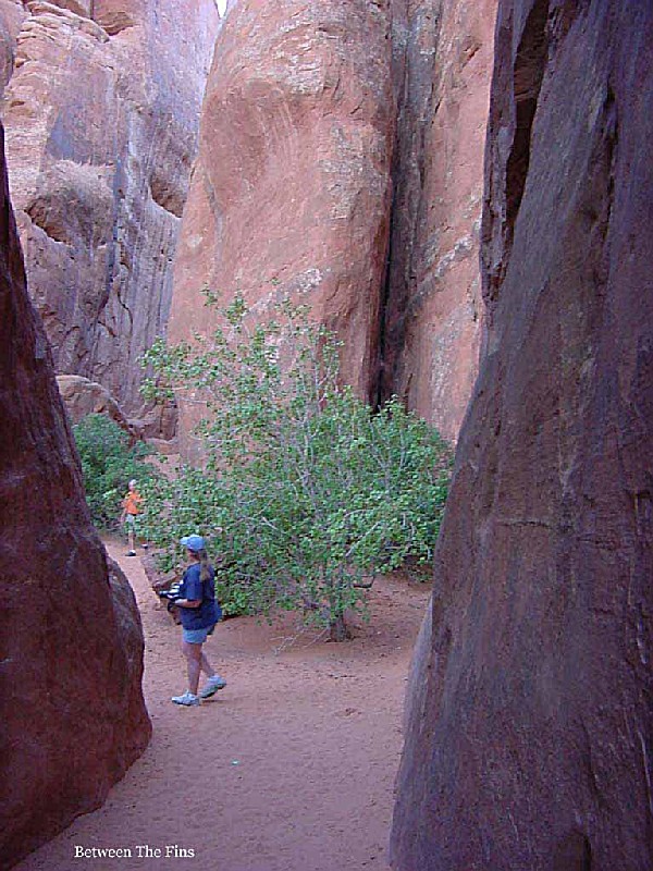
Rocks have attracted visitors to Arches National Park for thousands of years. However, sightseeing has not been the main activity for very long. Hunter-gatherers migrated into the area about 10,000 years ago at the end of the Ice Age. As they explored Courthouse Wash and other areas in what is now Arches, they found pockets of rock perfect for making stone tools. The forces of nature have acted in concert to create the landscape of Arches, which contains the greatest density of natural arches in the world. Throughout the park, rock layers reveal millions of years of deposition, erosion and other geologic events. These layers continue to shape life in Arches today, as their erosion influences elemental features like soil chemistry and where water flows when it rains.
 Devils Garden Campground
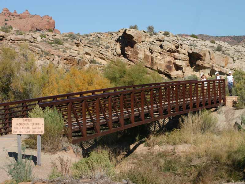
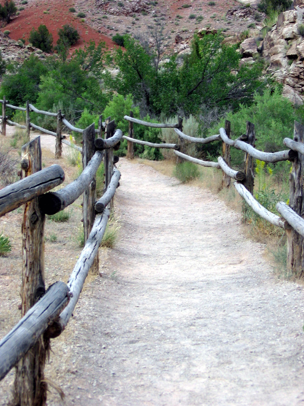
Devils Garden Campground is located deep within the heart of beautiful Arches National Park in Southeastern Utah, at an elevation of approximately 5200 ft.. The campground is situated among natural sandstone arches and fins and is only 18 miles north of the park's entrance and 23 miles from Moab, Utah.Devils Garden contains 51 campsites that are available
....moreThe forces of nature have acted in concert to create the landscape of Arches, which contains the greatest density of natural arches in the world. Throughout the park, rock layers reveal millions of years of deposition, erosion and other geologic events. These layers continue to shape life in Arches today, as their erosion influences elemental features like soil chemistry and where water flows when it rains.
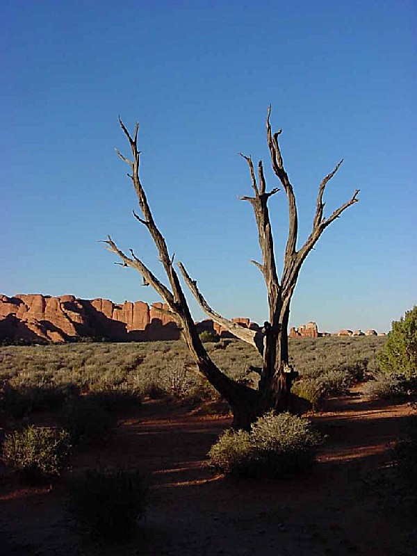
Arches is located in a "high desert," with elevations ranging from 4,085 to 5,653 feet above sea level. The climate is one of very hot summers, cold winters and very little rainfall. Even on a daily basis, temperatures may fluctuate as much as 50 degrees.
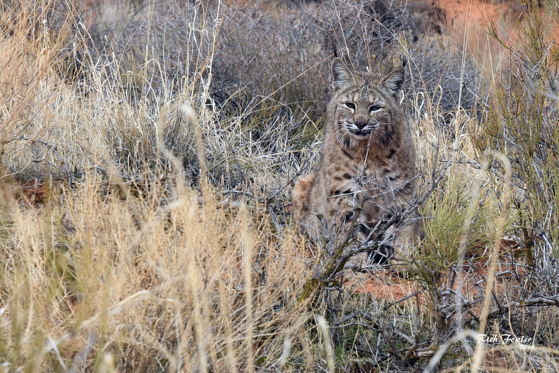
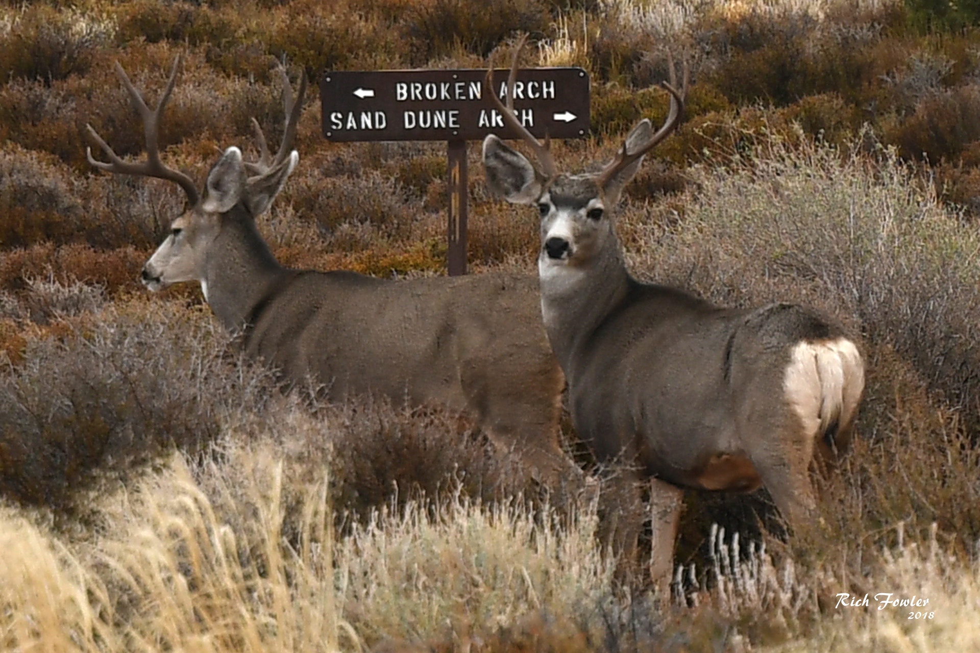
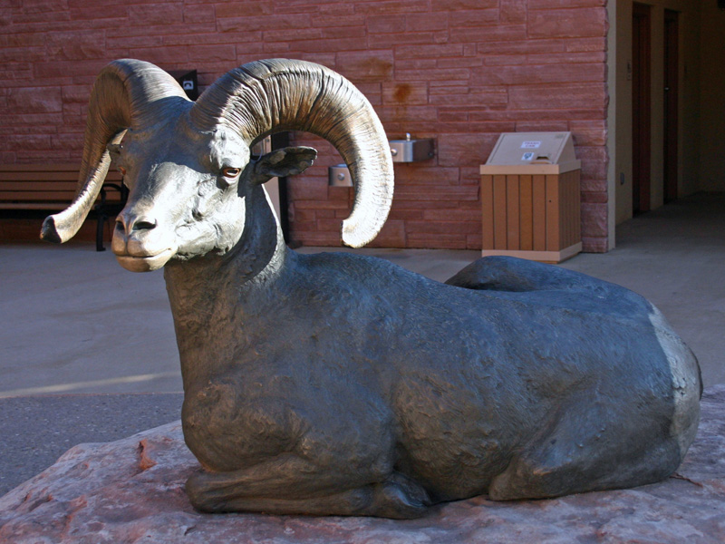
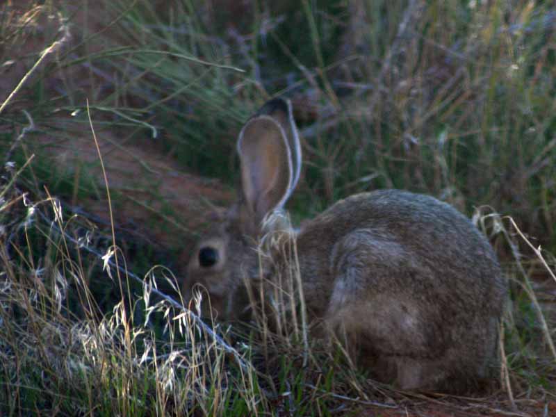
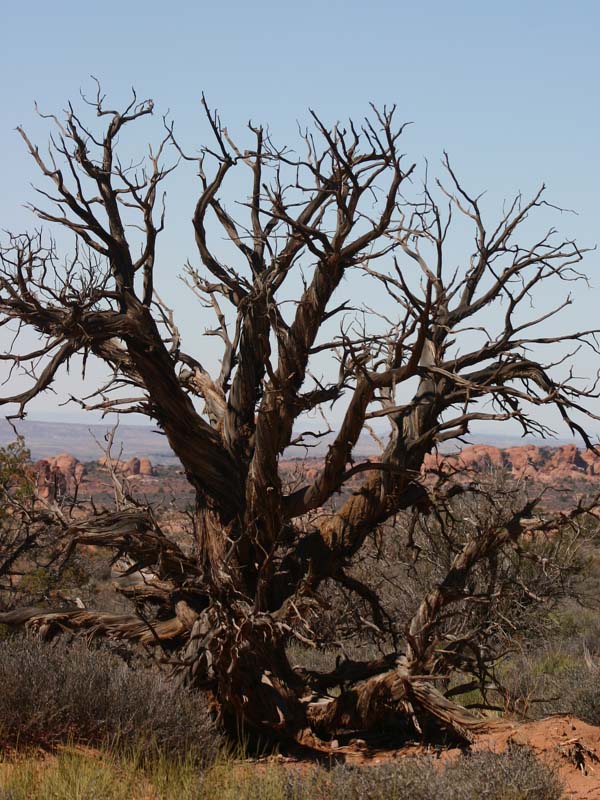
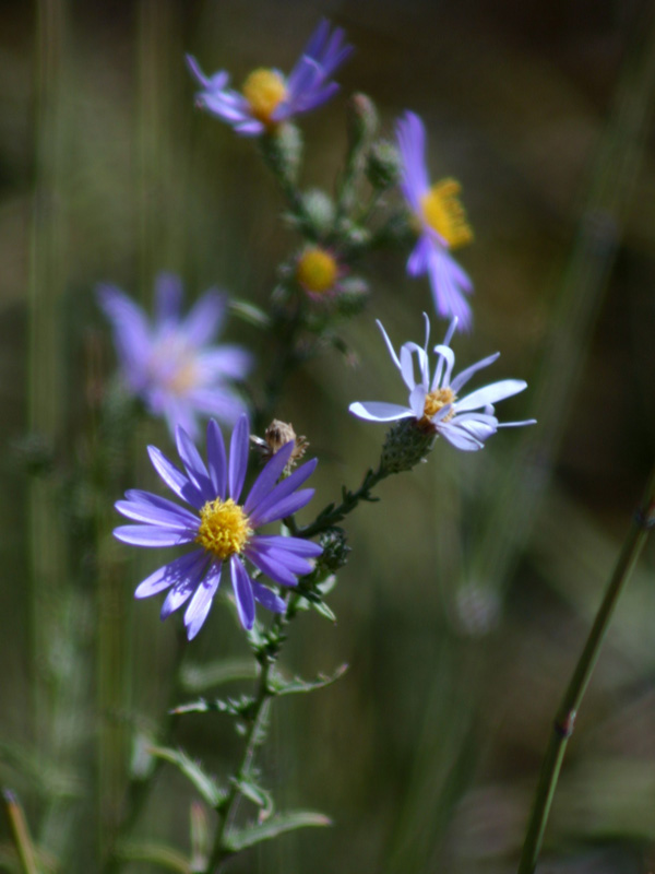
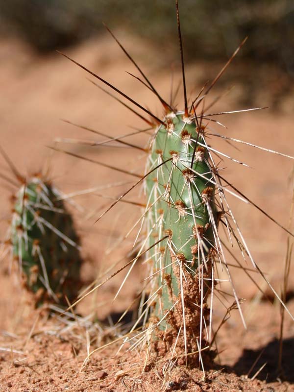
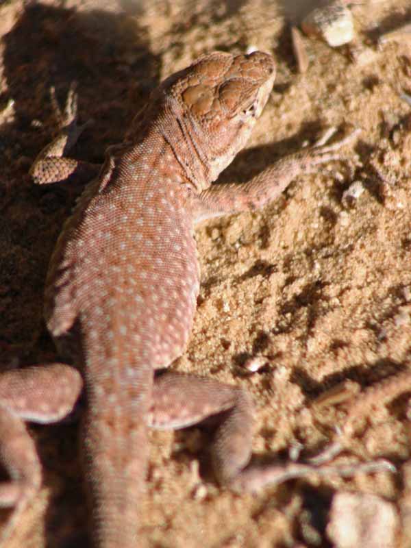
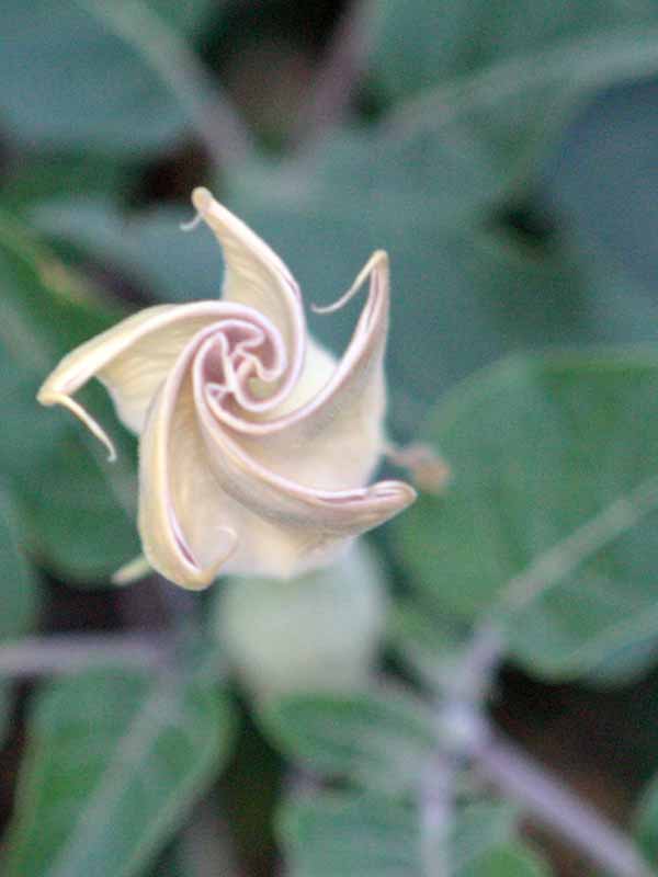
The plants and animals in Arches have many adaptations that enable them to survive these conditions. Some species are found only in this area. The diversity of organisms reflects the variety of available habitat, which includes lush riparian areas, ephemeral pools, dry arroyos, mixed grasslands and large expanses of bare rock.
GEOLOGIC FEATURES:
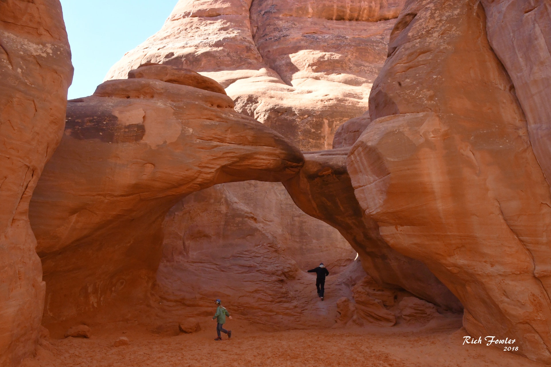
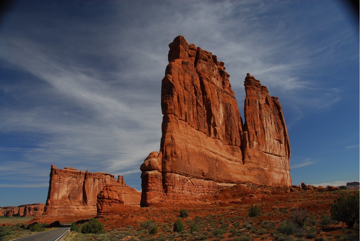
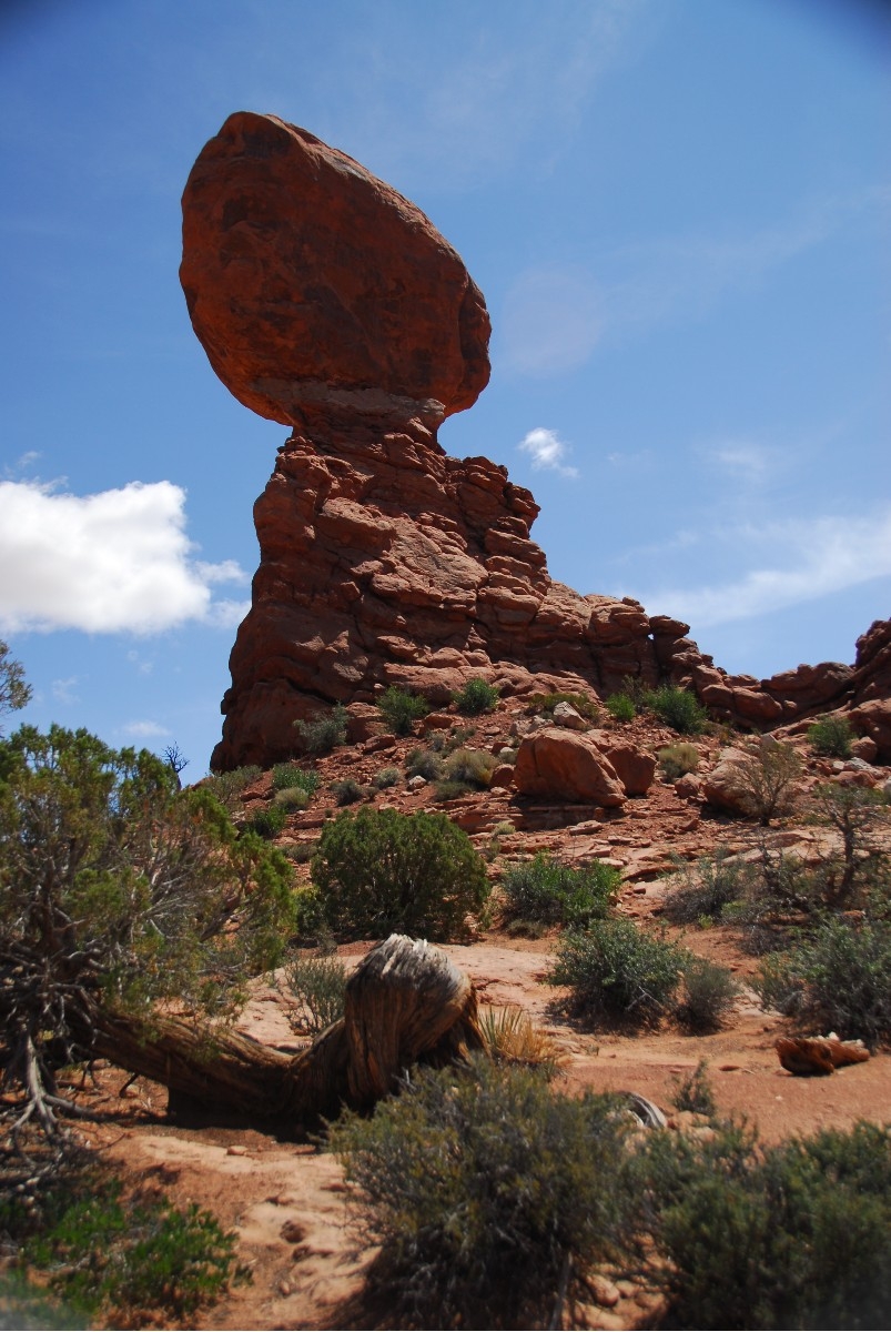
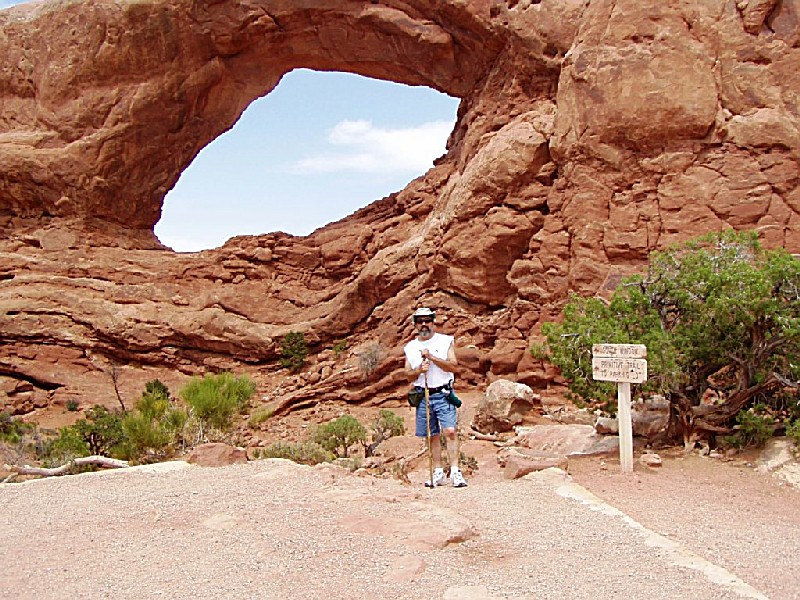
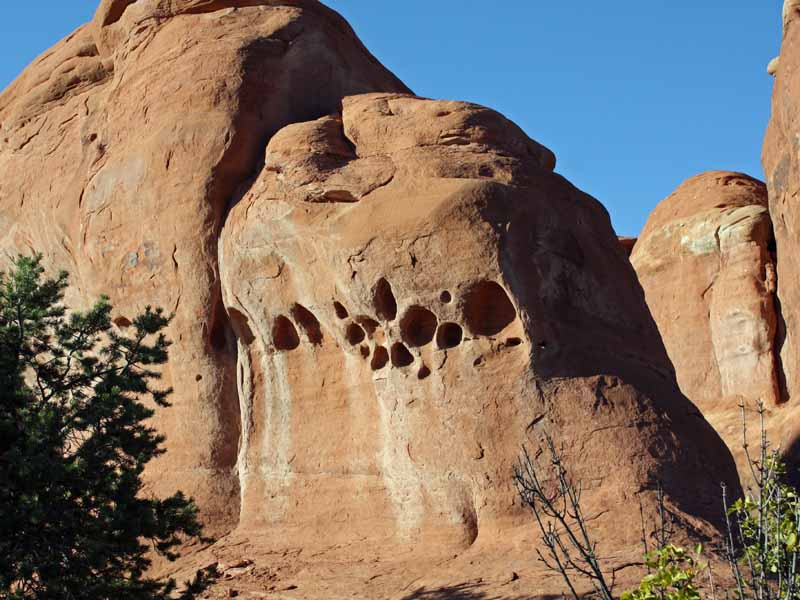
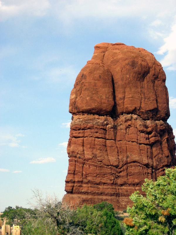
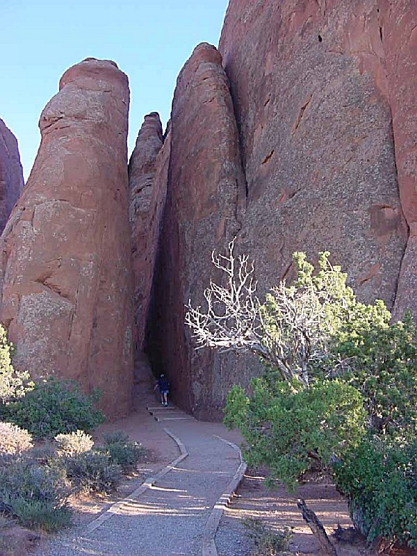
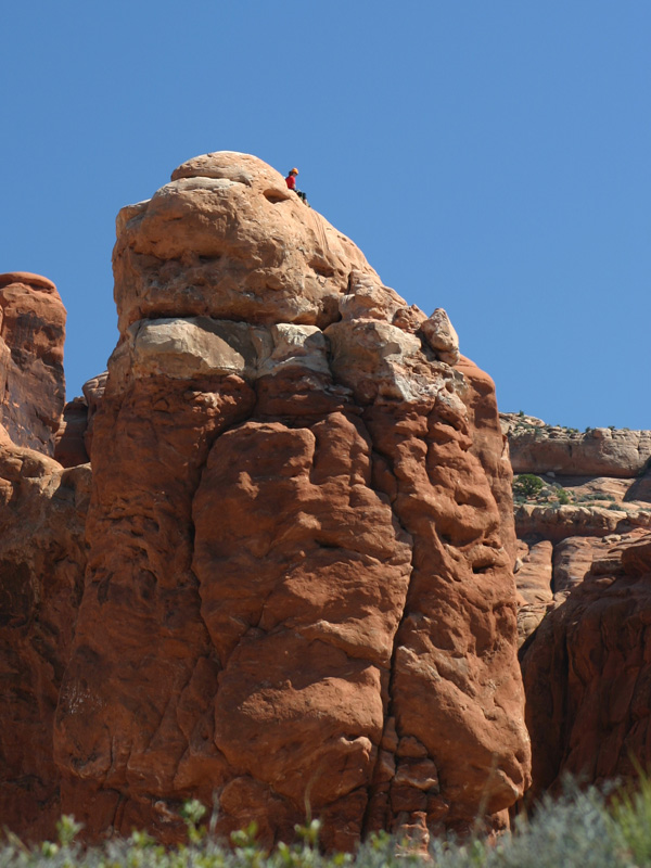
To many, the most outstanding natural features of Arches are the park's geologic formations. Over 2,000 catalogued arches range in size from a three-foot opening (the minimum considered to be an arch), to Landscape Arch which measures 306 feet from base to base. Towering spires, fins and balanced rocks complement the arches, creating a remarkable assortment of landforms in a relatively small area.
Two unusual natural features common in Arches intrigue both scientists and visitors: cryptobiotic soil and potholes. Cryptobiotic soil is a living groundcover that forms the foundation of high desert plant life.
Potholes are naturally occurring basins or pools in sandstone that collect rainwater and wind-blown sediment. These potholes harbor organisms that are able to survive long periods of dehydration, and also serve as a breeding ground for many desert amphibians and insects. Both of these communities are very vulnerable to human impacts.
The first Europeans to explore the Southwest were Spaniards. As Spain?s New World empire expanded, they searched for travel routes across the deserts to their California missions. In fact, the Old Spanish Trail linking Santa Fe and Los Angeles ran along the same route, past the park visitor center, that the highway does today.
The first reliable date within Arches is an interesting one. Denis Julien, a French-American trapper with a habit of chiseling his name and the date onto rocks throughout the Southwest, left an inscription in this area: Denis Julien, June 9, 1844. If we only knew what he thought of the wonders he saw!
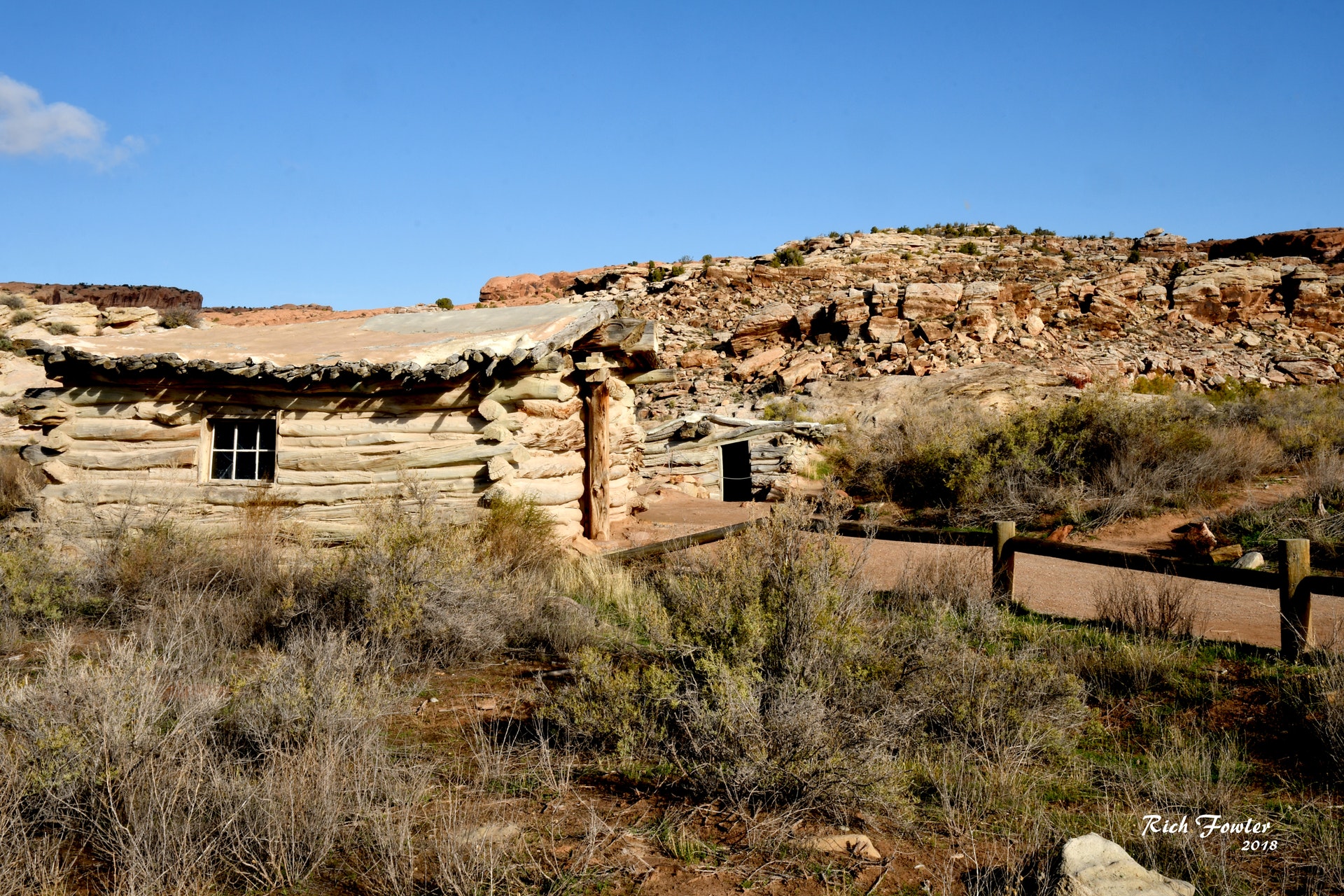
The first European settlement of Southern Utah arose from the colonizing efforts of the Mormon Church. The Mormons attempted to establish the Elk Mountain Mission in what is now Moab in June of 1855, but conflicts with the Utes caused them to abandon the effort. In the 1880s and 1890s, Moab was settled permanently by ranchers, prospectors, and farmers. One settler even found a beautiful spot within what is now Arches National Park. John Wesley Wolfe, a veteran of the Civil War, built the homestead known as Wolfe Ranch around 1898, seeking good fortune in the newly established State of Utah. It is located on Salt Wash, at the beginning of the Delicate Arch Trail. Wolfe and his family lived there a decade or more, then moved back to Ohio. The cabin remains, an echo of what must have been a remarkable experience.
One of the earliest settlers to describe the beauty of the red rock country around Arches was Loren ?Bish? Taylor, who took over the Moab newspaper in 1911 when he was eighteen years old. Bish editorialized for years about the marvels of Moab, and loved exploring and describing the rock wonderland just north of the frontier town. Some of his journeys were with John ?Doc? Williams, Moab?s first doctor. As Doc rode his horse north to ranches and other settlements, he often climbed out of Salt Valley to the spot now called Doc Williams Point, stopped to let his horse rest and looked back over the fabulously colored rock fins.
Word spread. Alexander Ringhoffer, a prospector, wrote the Rio Grande Western Railroad in 1923 in an effort to publicize the area and gain support for creating a national park. Ringhoffer led railroad executives interested in attracting more rail passengers into the formations; they were impressed, and the campaign began. The government sent research teams to investigate and gather evidence. In 1929, President Herbert Hoover signed the legislation creating Arches National Monument, to protect the arches, spires, balanced rocks, and other sandstone formations. In 1971 Congress changed the status of Arches to a National Park, recognizing over 10,000 years of cultural history that flourished in this now famous landscape of sandstone arches and canyons.
Day-UseHiking Trailyes
Picnickingyes
The Devils Garden Campground is located eighteen miles from the park entrance and is open year-round. Facilities include potable water, picnic tables, grills, as well as both pit-style and flush toilets. There are no showers. Bring your own wood or charcoal for the grills. Some sites will accommodate RV's up to 30 feet in length.
As of November 2003, Devils Garden is part of the National Recreation Reservation System (NRRS), which offers telephone and on-line reservations for both group and individual sites. Reservations are not accepted by the park, and the park does not maintain information about site availability.
INDIVIDUAL SITES:
The campground has 52 individual sites which are $10 per night and will accommodate up to ten people. Up to 28 of the individual sites may be reserved through NRRS for nights between March 1st and October 31st. Reservations must be made no less than 4 days and no more than 240 days in advance. There is an additional $9 booking fee for reservations. To make a reservation call NRRS at (877) 444-6777, (877) 833-6777 (TDD), or (518) 885-3639.
The remaining 24 campsites are available on a first-come, first-served basis each day beginning at 7:30 a.m. at the park entrance station or visitor center.
GROUP SITES:
The campground has two sites for groups of eleven or more people. The Juniper Basin campsite will accommodate up to 55 people; the Canyon Wren campsite up to 35. The group camping fee is $3 per person per night, with a $33 per night minimum. No recreational vehicles or trailers are permitted in the group sites.
Group campsites may be reserved through NRRS year-round. Reservations must be made no less than 4 days and no more than 360 days in advance. There is an additional $9 booking fee for reservations. To make a reservation call NRRS at (877) 444-6777, (877) 833-6777 (TDD), or (518) 885-3639.
Unreserved group campsites are available on a first-come, first-served basis on the day of arrival.


 Share Your Arches National Park Photos (click here)
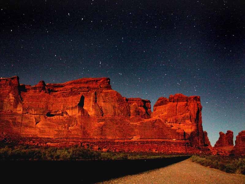