FREMONT INDIAN STATE PARK
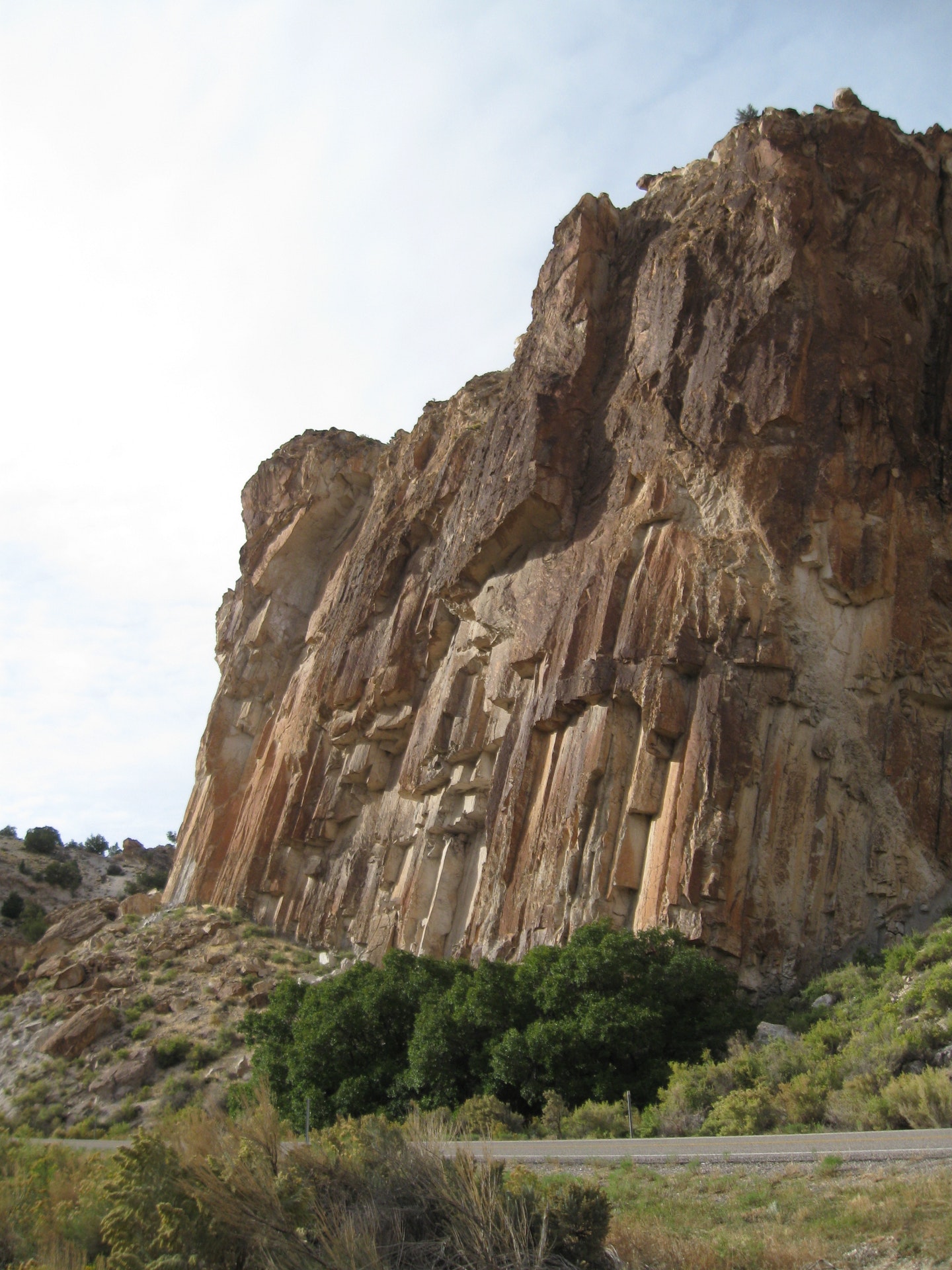
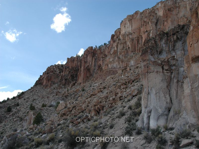
Fremont Indian State Park was established to preserve Clear Creek Canyon's treasury of rock art and archaeological sites. Visit the museum in the visitor center where a video program introduces you to the Fremont Indians. Twelve interpretive trails, one accessible to wheelchairs, lead you into legend and history depicted through pictographs and petroglyphs. Also enjoy rock art, interpretive trails, fishing, horseback riding.<P>The park is 21 miles southwest of Richfield on Interstate 70 (Exit 17) in central Utah. Fishing, hiking, camping and picnicking are available.
In 1983 during construction of Interstate 70, the largest known Fremont Indian village was uncovered. Eighty residential structures, pothouses, and many storage granaries were discovered during the excavation. Recovered artifacts are now on display at the museum and include pottery, grinding stones, arrowheads, baskets, and other tools. Visitors may also meander park trails, which lead to hundreds of spectacular petroglyphs; a natural outdoor gallery.
THE FREMONTThe Fremont Indians were agriculturalists who lived from about A.D. 400 to 1300, in north and central Utah and adjacent parts of Colorado, Idaho and Nevada. Within this vast area, five sub-areas (each with its own characteristic artifacts and structure type) have been isolated. The sub-areas into which the Fremont are usually divided are the Great Salt Lake, Parowan or Snake Valley, Sevier, San Rafael and Uinta.
The Clear Creek Canyon sites are within the Sevier sub-area, however, but 60 percent of the pottery is from the Parowan sub-area. The natural resources in Clear Creek Canyon, ample water and marshes, resulted in different subsistence needs than in other Fremont areas. Eating cattails, marsh fish, and birds meant they did not have to grow as much corn, gather as many seeds, and kill as many deer to survive. All their time was not needed to gather necessities of food, shelter and needed implements. Their spare time was spent making jewelry and items for trade.
There is no single accepted theory as to where the Fremont originated or what happened to them after A.D. 1300.
THE PAIUTEThere is no evidence the Paiute ever lived in Clear Creek Canyon, but they play an important role in its history. They used the canyon and its tributaries for hunting, and gathering seeds and pine nuts. The trail through Clear Creek Canyon was the only route for travel between hunting areas on different sides of the Pahvant and Tuscher mountain ranges. They performed initiations and built ceremonial shrines in Clear Creek Canyon because the canyon was, and still is, a sacred place. A number of rock art panels in the park are attributed to the Paiute.
HOMESTEADERSDuring his explorations of the area, Jedediah Smith came through Clear Creek Canyon in 1826. The trail was improved into a wagon road in 1872 as part of a Mormon Church work assignment to connect settlements in Sevier Valley with those near Cove Fort. A toll of 25 cents per wagon was charged to use the road over the next 25 years. In 1877, the first year-round homesteaders came from near the town of Kanosh. John Smiley Lott and his two wives built two cabins in the lower part of Clear Creek. By 1890, six of the Lott children had homesteads in the canyon and in 1895, a school was built for the Lott grandchildren. In the 1890s, gold was discovered at Kimberly in the mountains south of Clear Creek, and a town with more than over 1,000 residents was constructed. The railroad to Sevier was finished in 1896 and the only way to get the gold and supplies between the railhead and Kimberly was through Clear Creek Canyon. As a result, two transfer yards, a power plant, and a hotel were built in the canyon in or near the park. After 1900, all but one of the Lott homesteads had sold and there was a new generation of families in Clear Creek Canyon. The farms, at best, were marginal and most of the families had employment out of the canyon. With the construction of I-70 during the 1980s, families had to relocate.
Day-UseFishingyes
Hiking Trailyes
Picnickingyes
Swimming Beachyes
CampingPrimitiveyes


 Share Your Fremont Indian State Park Photos (click here)
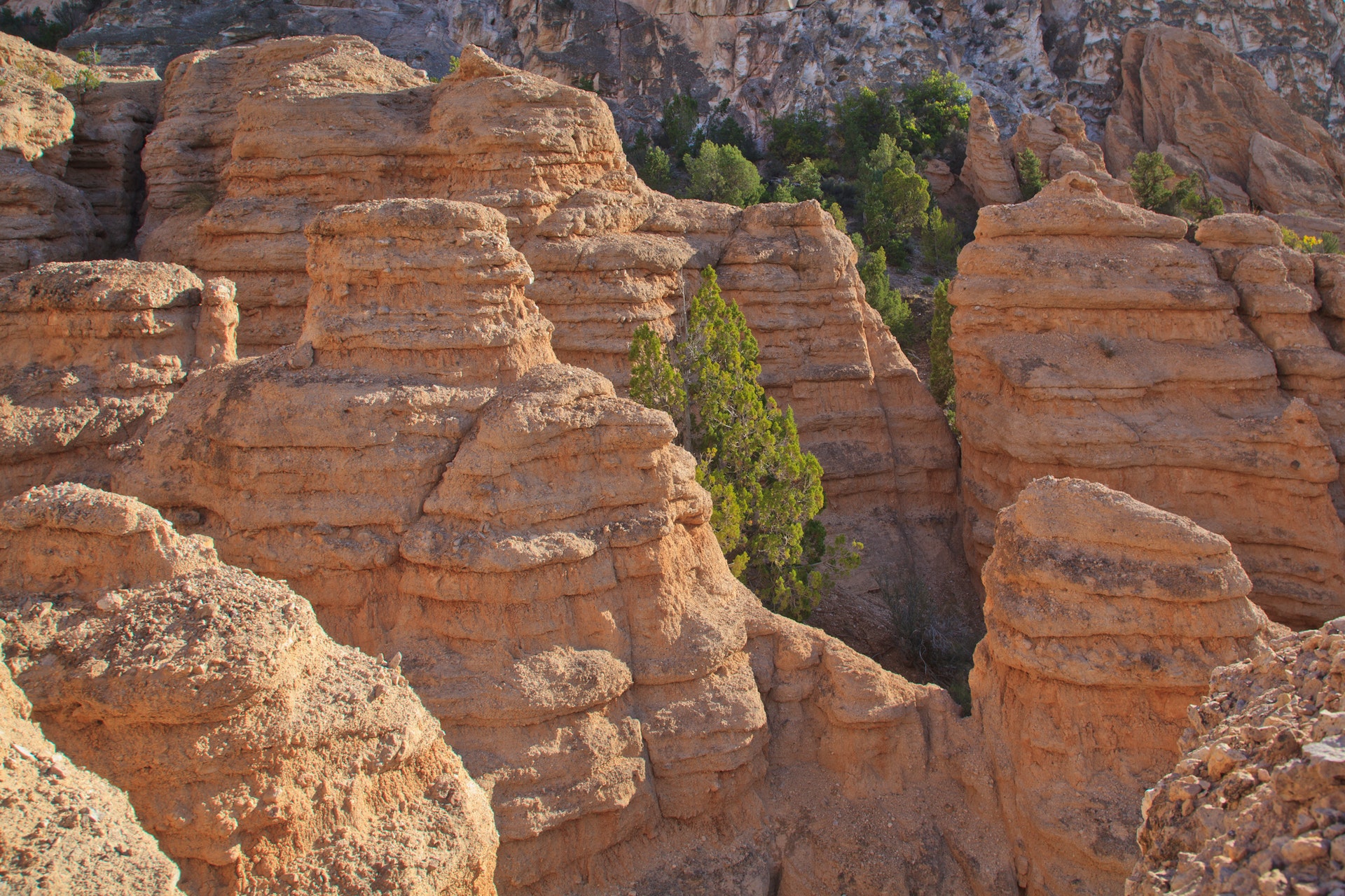