HIGH BRIDGE TRAIL STATE PARK
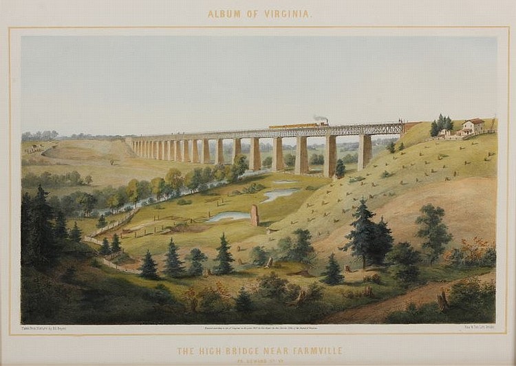
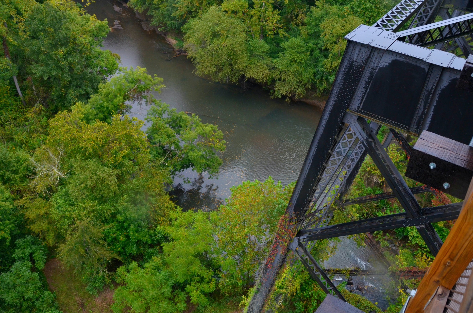
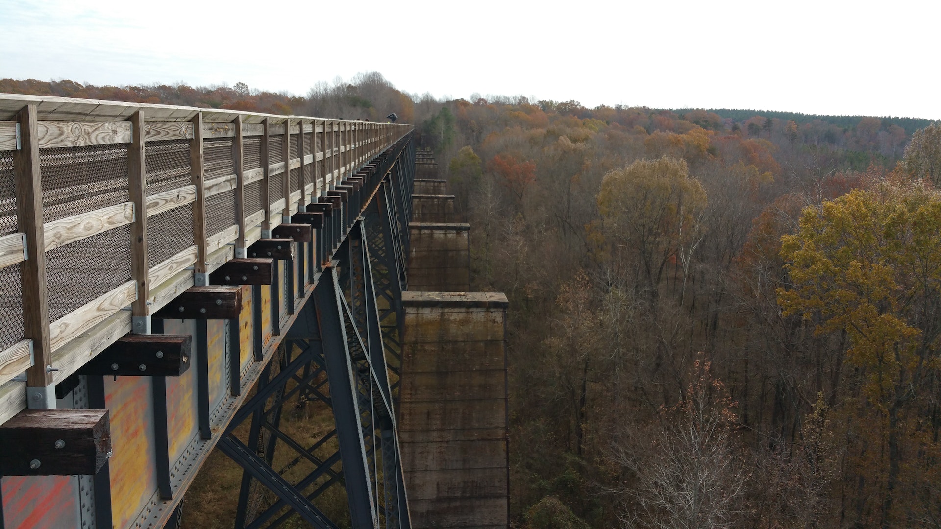
High Bridge Trail is 31 miles long and ideally suited for hiking, bicycling and horseback riding. Once a rail bed, the trail is wide, level and generally flat. Its finely crushed limestone surface and dimensions make it easy to enjoy. The parks centerpiece is the majestic High Bridge, which is more than 2,400 feet long and 125 feet above the Appomattox River. It is the longest recreational bridge in Virginia and among the longest in the United States. High Bridge, a Virginia Historic Landmark, is on the National Register of Historic Places. The trail is a National Recreation Trail recognizing exemplary trails of local and regional significance, connecting people to nature, to each other, and to our shared history and culture. Bring drinking water because none is available on the trail.
High Bridge access
There are two parking lots near High Bridge.
East of the bridge 1466 Camp Paradise Road Rice, Virginia Prince Edward County
Use 1681 Aspen Hill Road Rice, Virginia 23966, to get to the entrance of Camp Paradise Roadthen travel 1.5 miles to the parking area.
High Bridge is .3 miles from the Camp Paradise parking lot. Trailers are allowed in this lot, and equestrians may access the trail from it.
West of the bridge River Road, Farmville Cumberland County
Use 555 River Road, Farmville, VA 23901, to get here. High Bridge is nearly a mile from the lot.Trailers are not allowed at this lot.
In December 2006, Norfolk Southern Railway Co. donated a 31-mile tract of abandoned railroad to the state for the establishment of a new state park. The rail line was part of the Petersburg to Lynchburg line. On Aug. 22, 2008, four miles of the linear park were opened to the public. On June 6, 2009, another 10 miles were opened to the public. Six more miles were opened on Nov. 14, 2009, and another four miles were opened on July 3, 2010. On Sept. 4, 2010, the trail's final six miles were opened. After 13 months of rehabilitation work, High Bridge was opened to the public on April 6, 2012. Its completion provides the final link in the 31-mile trail.


 Share Your High Bridge Trail State Park Photos (click here)
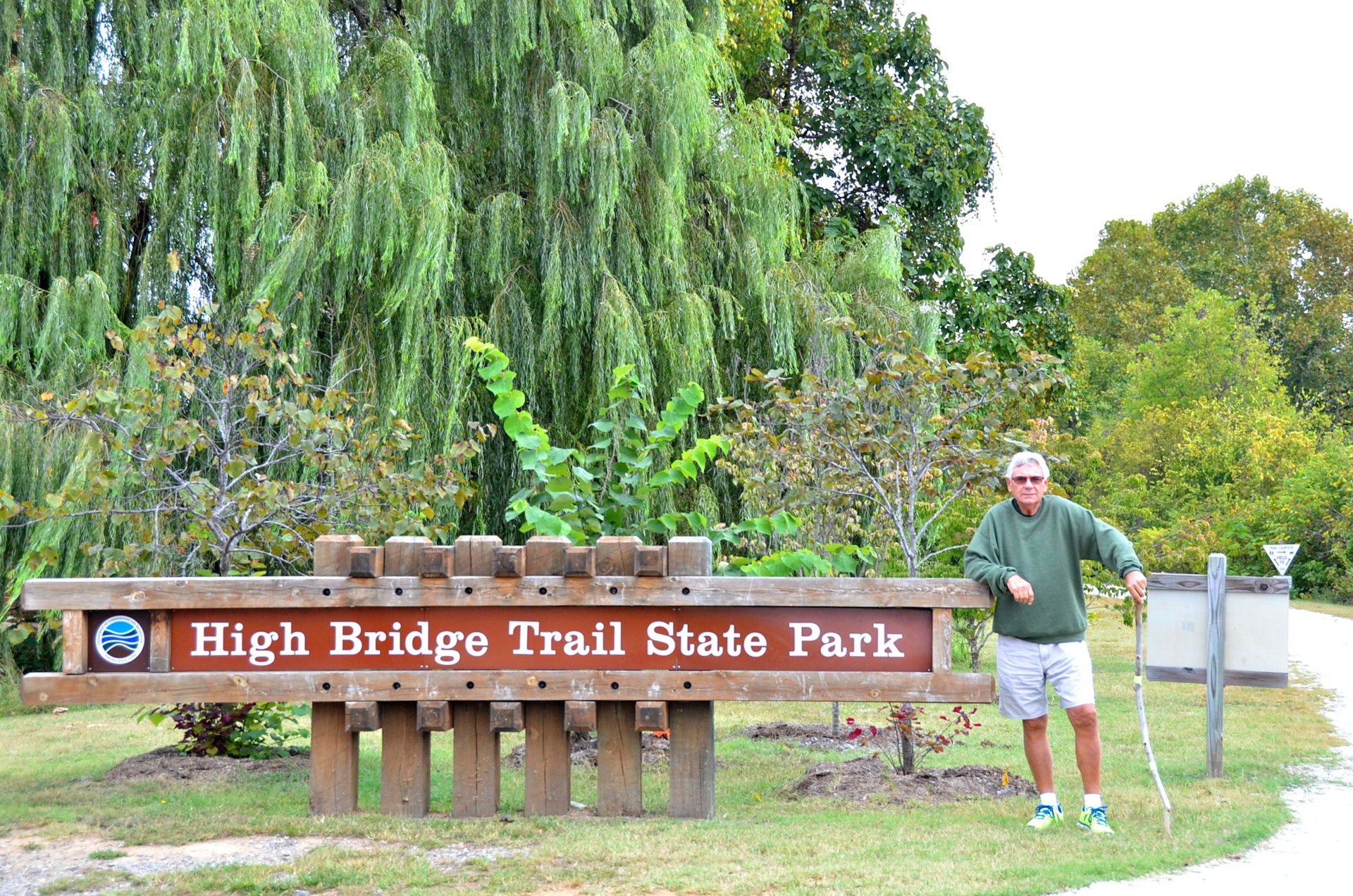