MOUNT BUSHNELL STATE PARK
MOUNT BUSHNELL STATE PARK
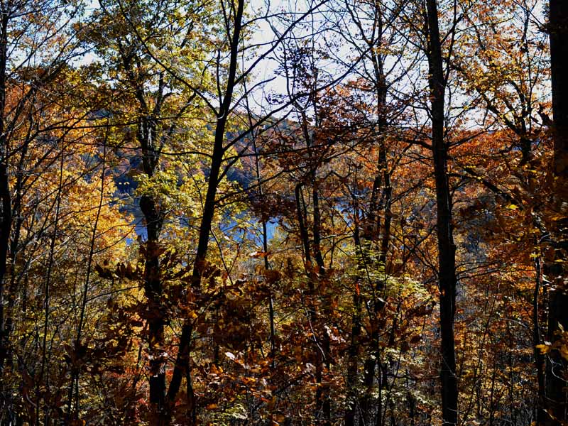
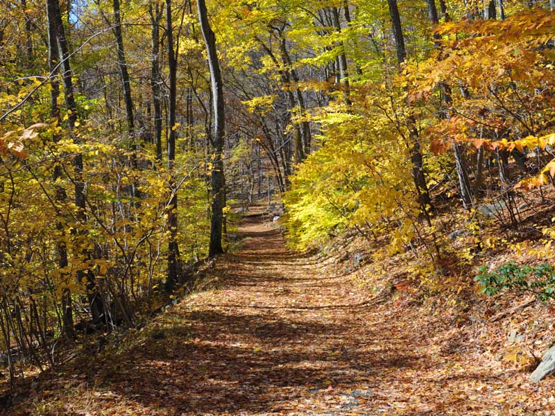
Mount Bushnell State Park is a serene, scenic area known for its lush greenery and hiking trails. The park offers stunning views of the surrounding landscape from Mount Bushell's peak. It provides an ideal setting for outdoor activities such as picnicking, bird watching or simply enjoying nature's tranquility.
Connecticut has made state parks, forests, trails, historic sites and beaches more accessible to our residents so they can enjoy the many attractions and beauty they offer. Under the Passport to the Parks program, parking fees are now eliminated at Connecticut State Parks for those with Connecticut registered vehicles. You can view the
CONNECTICUT PASSPORT TO THE PARKS web page to learn more.


 Share Your Mount Bushnell State Park Photos (click here)
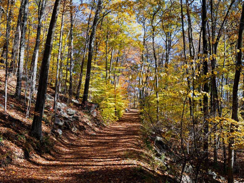