Save
You must be signed in to save park lists.
Your Park Lists
add New List
Add Photo
You must be signed in to add photos.
state route ranger badge
California
66

California State Parks

responsive menu icon
USA Parks
California
Southern California Region
Anza-Borrego Desert State Park
start slideshow
Anza-Borrego Desert State Park Slot Canyon © Helen Baga.
Anza-Borrego Desert State Park © Marcia Riegle
Anza-Borrego Desert State Park Anza Borego Road © Marcia Riegle
Dirt road in the Anza Borego desert in Spring when Ocotillos were blooming.
Anza-Borrego Desert State Park © Cheyanne Reseck-Francis
Search
Availability
Calendars
Availability Search
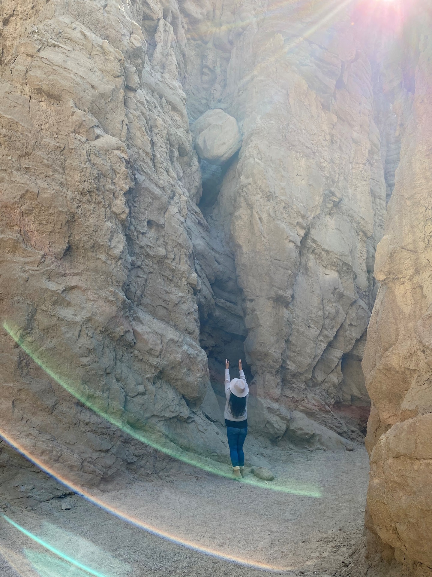
ANZA-BORREGO DESERT STATE PARK
200 Palm Canyon Drive
Borrego Springs, California   92004

Phone: 760-767-5311
Reservations: 760-767-5311
Email: park email button icon
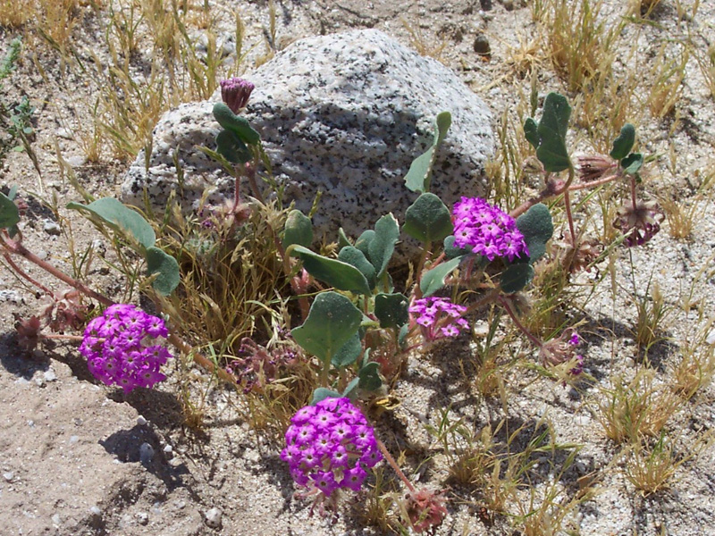
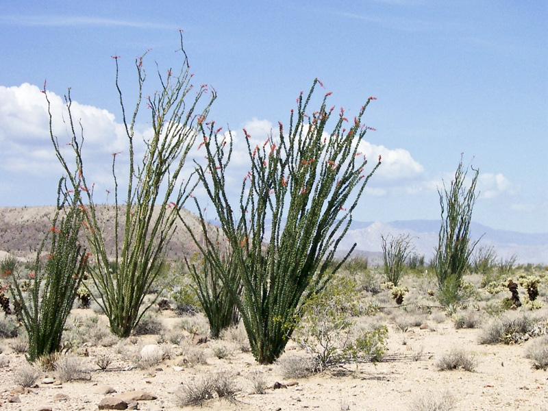
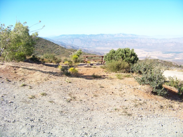
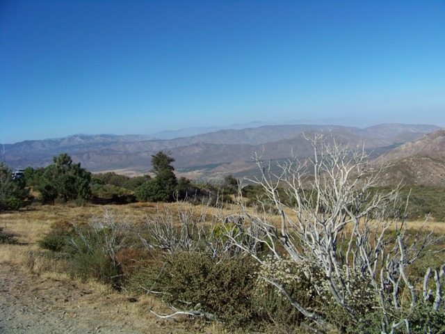
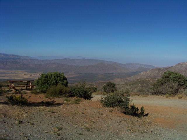
With over 600,000 acres, Anza-Borrego Desert State Park is the largest state park in California. 500 miles of dirt roads, 12 wilderness areas and miles of hiking trails provide visitors with an unparalleled opportunity to experience the wonders of the Colorado Desert. The park is named after Spanish explorer Juan Bautista de Anza and the Spanish name borrego, or bighorn sheep. The park features washes, wildflowers, palm groves, cacti and sweeping vistas. Visitors may also have the chance to see roadrunner, golden eagles, kit foxes, mule deer and bighorn sheep as well as iguanas, chuckwallas and the red diamond rattlesnake. Listening devices for the hearing impaired are available in the visitor center.

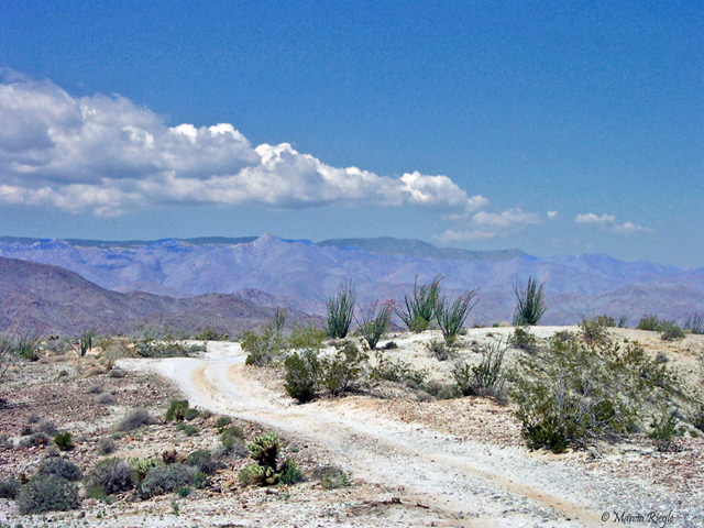
Most visitors approach from the east via Highways S22, S2, or 78. Visitors from San Diego via Highways 79 and 78 have the added pleasure of driving through the mountainous Cuyamaca Rancho State Park--quite a different experience from Anza-Borrego. The highways from the east climb to 2,400 feet or so and then descend about 2,000 feet to the valley. Where the highway breaks out of the high-country vegetation, it reveals the great bowl of the Anza-Borrego desert. The valley spreads below, and there are mountains all around. The highest are to the north--the Santa Rosa Mountains. The mountains are a wilderness, with no paved roads in or out or through. They have the only all-year-flowing watercourse in the park. They are the home of the peninsular bighorn sheep, often called desert bighorn. Few park visitors ever see them; the sheep are justly wary. A patient few observers each year see and count them, to learn how this endangered species is coping with human encroachment.


Wi-Fi Servicewifi

Anza-Borrego Desert State Park now offers AT&T Wi-Fi Service!This service enables park visitors with wireless enabled laptop computers or personal digital assistants (PDAs) to access the Internet. You can access this service if you are within a 150 foot range base of the Ranger's Office.

History of the Area
Located in Southern California, the park was established in 1933. It is named after Spanish explorer Juan Bautista de Anza and borrego, a Spanish word for bighorn sheep.

The area has been inhabited by humans for over 5,000 years with evidence of Native American cultures such as the Kumeyaay tribe present there.

In later centuries it became part of Mexico's Alta California province before being ceded to America following Mexican-American War (1846-48).

It officially opened its doors on August 25th,1947 under Governor Earl Warren's administration making it one of oldest parks in state system.

Today this desert region spans across more than half-a-million acres offering visitors diverse wildlife sightings and geological formations.

FACILITIES AND ACTIVITIES OVERVIEW
Day-UseHiking Trailyes
 Bridle Trailsyes
CampingPrimitiveyes
 Full Hookup Sitesyes
Camping
1. Borrego Palm Canyon Campground offers family campsites with picnic tables, fire rings and access to hiking trails.
2. Tamarisk Grove Campground provides 27 sites equipped with drinking water, restrooms and shaded areas for tents or RVs.
3. Vern Whitaker Horse Camp is perfect for equestrian campers offering corrals, a staging area and direct trail access.
4. Blair Valley Primitive Camping Area allows dispersed camping in the desert landscape without any facilities provided by park management.
5. Bow Willow campground has primitive campsites suitable for tent camping; no potable water available on site though.


Location
Anza-Borrego Desert State Park is located near Thermal, El Cajon and Indio

Trails
1. Borrego Palm Canyon Trail: A 3-mile round trip trail featuring a waterfall and palm oasis, suitable for all skill levels.

2. Cactus Loop Nature Trail: An easy 0.7 mile loop showcasing various desert plants including cacti; ideal for beginners or families with children.

3. Hellhole Canyon to Maidenhair Falls Hike: This is a moderate difficulty hike of approximately 5 miles leading up to the beautiful Maidenhair falls.

4. Pictograph Trail - Smuggler's Cave & Morteros Site: It's an educational 2-3 hour walk covering about two miles that features ancient rock art and mortars used by Native Americans

5.Panoramic Overlook Trails : These are three short but steep trails totaling around one mile each offering stunning views over the town of Borrego Springs

6.The Slot (Borrego Mountain): At just under two-and-a-half-miles long, this moderately difficult trek takes hikers through narrow canyons in the park's badlands area.

7.Coyote Creek Wash - Lower Willows Hiking Route : Approximately six hours return journey along Coyote Creek into Collins Valley via Second Crossing

8.Villager Peak Via Rabbit Peak Pathway : Challenging route stretching nearly twenty-two miles from Clark Lake towards Villager peak then onto Rattlesnake Spring before returning back down again

9.South Fork / Big Boulder Mine Trekking Pathway : Roughly five-hour circular path taking you past South fork campsite as well as old mining sites

10.HellHole Flat Desert Oasis Walkabout Track ; Moderate level four-to-five-hour circuitous track passing several natural springs enroute

Visitor Comments, Memories and Reviews
March 12 My first park on a motorcycle... by Ralf
park review stars; one to five ... it was my first trip on a motorcycle - all alone from San Diego into this desert park. A great experience, and since that time I really love this park.
March 2 Great place to get away. by Bob
park review stars; one to five We love Anza Borrego. It is my favorite Desert park. http://www.anzaborrego.net
write a review
Share On

Area Campgrounds
Leapin' Lizard RV Ranch
5929 Kunkler Lane
Borrego Springs, CA
760-767-4526
The Springs at Borrego RV Resort and Golf Course
2255 Di Giorgio Road
Borrego Springs, CA
Palm Canyon Hotel & RV Resort
221 Palm Canyon Drive
Borrego Springs, CA
760-767-5341
Nearby Hotels
Booking.com

Directions
The Park is located on the eastern side of San Diego County, with portions extending east into Imperial County and north into Riverside County. It is about a two-hour drive from San Diego, Riverside, and Palm Springs.

Many visitors approach from the east or west via Highways S22 and 78. From the coast, these highways descend from the heights of the Peninsular range of mountains with spectacular views of the great bowl of the Colorado Desert. Highway S2 enters the park from the south off of Interstate 8.

state route ranger badge
California
66

California State Parks

X