APACHE NATIONAL FOREST
The Apache and the Sitgreaves National Forests were administratively combined in 1974 and are now managed as one unit from the Forest Supervisor's Office in Springerville. The two million acre Forest encompasses magnificent mountain country in east-central Arizona along the Mogollon Rim and the White Mountains.
What makes this Forest so special? Its the water...lots of it...draining the high mountains and forming numerous lakes and streams...a fisherman's paradise in the arid Southwest.
The Apache-Sitgreaves has 34 lakes and reservoirs and more than 680 miles of rivers and streams - more than can be found in any other Southwestern National Forest. The White Mountains contain the headwaters of several Arizona rivers including the Black, the Little Colorado, and the San Francisco.
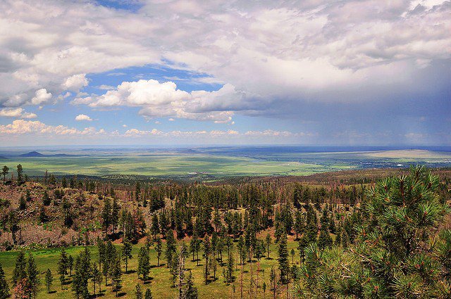
The Sitgreaves was named for Captain Lorenzo Sitgreaves, a government topographical engineer who conducted the first scientific expedition across Arizona in the early 1850's. On the Sitgreaves, the major attractions for visitors from the hot valleys of Phoenix or Tucson are the Mogollon Rim and the string of man-made lakes. From the Rim's 7600-foot elevation, vista points provide inspiring views of the low country to the south and west.
Big Lake at SunsetIn the last century, the US Army established a series of forts in New Mexico and Arizona. To supply these forts and settlements, a military road was built linking Sante Fe, New Mexico and Camp Verde near Prescott. Part of this road, called the General Crook Trail, runs almost the length of the Sitgreaves and in many places follows the brink of the Rim.
The Apache National Forest is named after the tribes that settled in this area. It ranges in elevation from 3500 feet near Clifton to nearly 11,500 feet on Mount Baldy. The congressionally proclaimed Mount Baldy, Escudilla, and Bear Wallow wildernesses and the Blue Range Primitive Area make the Apache one of America's premier backcountry Forests. The Apache is also noted for its trout streams and high-elevation lakes and meadows.
The management concerns on the Apache-Sitgreaves include the health and restoration of the watersheds, sustaining the Forest's ecosystems, improving customer service in our recreation areas, reducing the dangers associated with wildfire in the urban interface, and maintaining the National Forest road system to desired standards.
The Apache-Sitgreaves provides habitat for over 400 species of wildlife. The forest is home to most big game animals, such as antelope, elk, deer, bighorn sheep, and turkey, as well as a variety of songbirds, waterfowl, small mammals, fish, amphibians and reptiles. There are opportunities throughout the forest for photographers, casual observers, hunters, and anglers.
Wolf pictureA leisurely drive in the twilight may yield wonderful rewards as it is during the evening twilight and early morning hours that wildlife within the forest are most active and can be seen most anywhere if you look hard enough. Deer and elk come out to feed in the early morning and evening, watch for them at the forest's edge or in meadows.
A lucky wildlife viewer may catch sight of a mountain lion, a black bear, or the newly re-introduced Mexican gray wolf. Sightings of these large predators are rare occurrences and should be viewed as something truly special, not merely because of the scarcity of these 3 fish pictureanimals but also because of their secretive nature.
If seeing an osprey hover over a clear mountain lake or hearing a mountain chickadee's cheery song is your idea of a great outdoor experience, then the Apache-Sitgreaves National Forests is for you. The forest contains a wide variety of birds and can provide you with many memorable moments. In addition to a good pair of binoculars you'll probably want to stop by the local district office and pick up a copy of "Birds of the Apache-Sitgreaves National Forest: A Checklist".
The forest is also considered one of the top forests in the nation for fishing. The Apache-Sitgreaves contains over 450 miles of streams and nearly 2,000 surface acres of cold water lakes. Fish species include Arctic Grayling, Rainbow, German Brown, Brook, Apache, and Cutthroat trout. Bring your favorite fishing gear and try your luck. Be sure to check State Fishing Regulations before wetting your line.


 Share Your Apache National Forest Photos (click here)
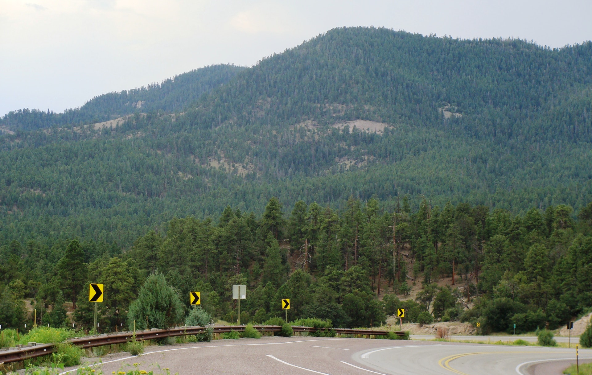