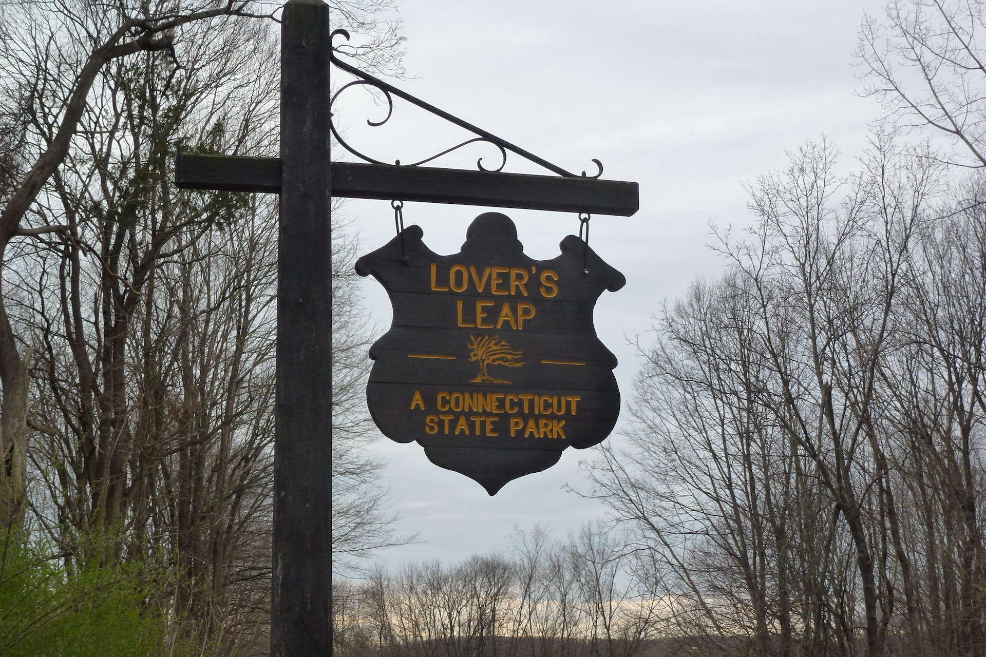
LOVERS LEAP STATE PARK
Trails through the park will lead the walker through centuries of land-use history. Heading northeast from the parking lot the trail utilizes the 1895 Berlin Iron Bridge, one of five remaining in Connecticut, to cross the Housatonic River. Across the bridge the Lovers Leap Trail heads southeast 1,200 feet to the rock formation that gives the park its name. From here, tradition has it, that the Pootatuck Indian Chief Waramaugs daughter, Princess Lillinonah, and her lover plunged to their deaths. The Chief himself died in 1735.
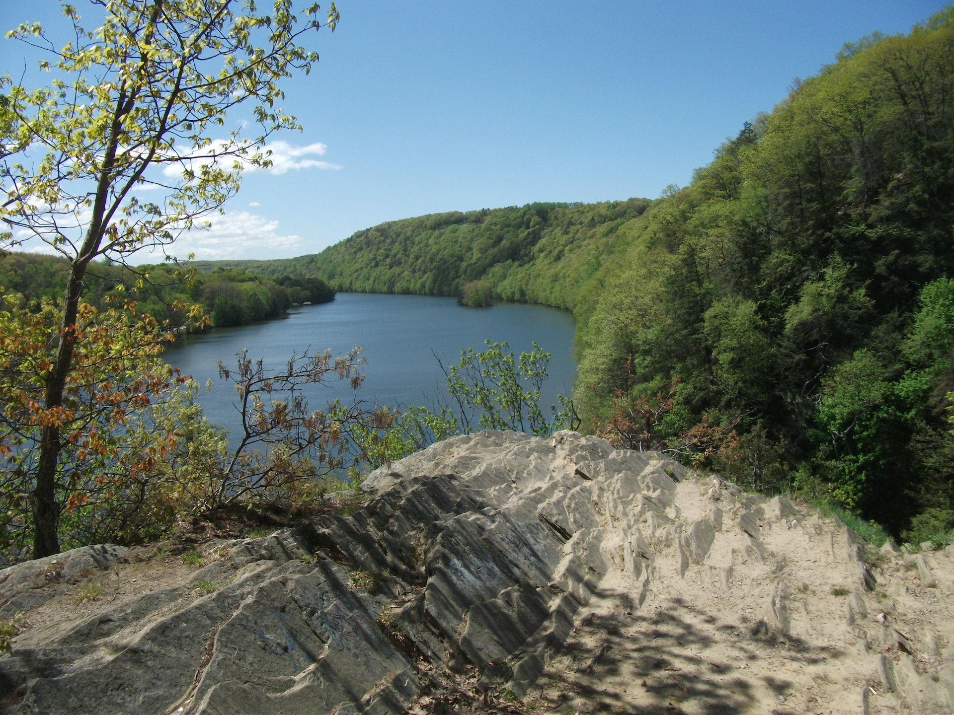
The view to the south overlooks a now submerged Goodyear Island named for an early fur trader from Derby who came there to trade with the established Indian Community. Industrial era ruins still exist near the water on the northwest section of the park.
Connecticut has made state parks, forests, trails, historic sites and beaches more accessible to our residents so they can enjoy the many attractions and beauty they offer. Under the Passport to the Parks program, parking fees are now eliminated at Connecticut State Parks for those with Connecticut registered vehicles. You can view the
CONNECTICUT PASSPORT TO THE PARKS web page to learn more.


 Share Your Lovers Leap State Park Photos (click here)
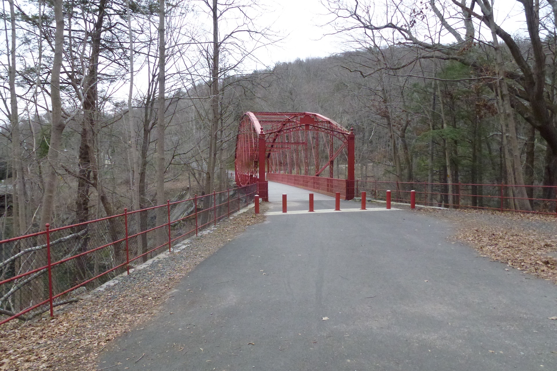