MEDOC MOUNTAIN STATE PARK
Medoc Mountain State Park is a 3,893-acre North Carolina state park in Halifax County, North Carolina in the United States. It is near Hollister, North Carolina in eastern North Carolina and includes the 325 foot peak Medoc Mountain.
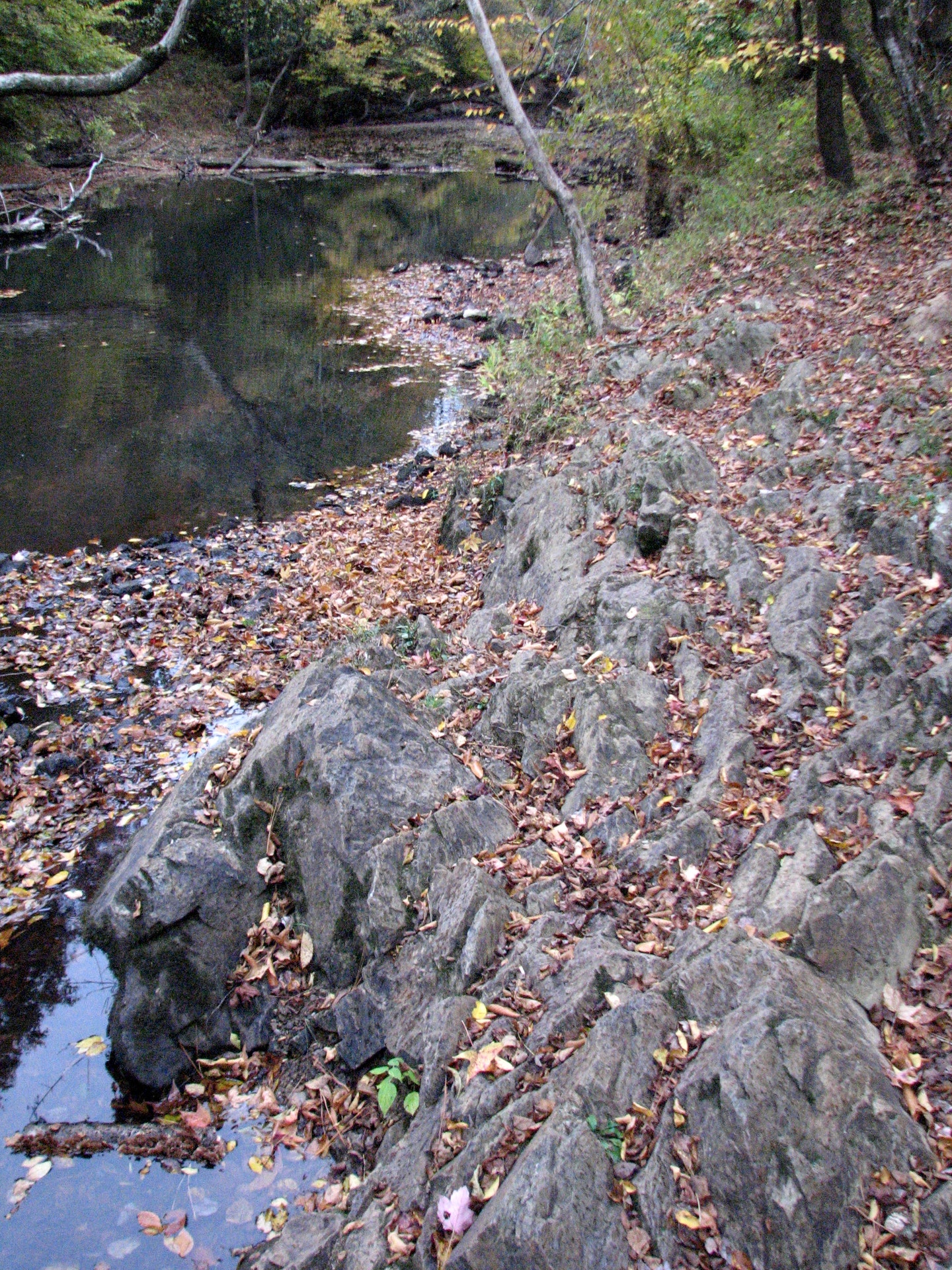
Medoc Mountain is not really a mountain at all its highest point reaches an elevation of only 325 feet above sea level. It is, rather, the core of what was once a mighty range of mountains - Medoc Mountain is what remains after millions of years of erosion. The eroded peaks were formed by volcanic action during the Paleozoic Age, about 350 million years ago.
An elongated structure of biotite granite, Medoc Mountain has effectively routed the streams of the area around itself and has resisted the erosion typical of the surrounding lowlands. The park sits near the fall line, an area where the hard, resistant rocks of the foothills give way to the softer rocks and sediments of the coastal plain. The northern and western faces of Medoc Mountain have very steep slopes, dropping 160 feet over a distance of less than a quarter mile. Such rugged terrain is unusual for the eastern piedmont.
In 1970, citizens proposed the creation of a state park in the area. In 1972, the Division of Parks and Recreation surveyed a five-county area for a suitable site and recommended Medoc Mountain and the surrounding land. The Halifax Development Commission obtained a one-year option to purchase timber on the mountain from Union Camp, allowing the state time to acquire 2,300 acres of land to establish the park.


 Share Your Medoc Mountain State Park Photos (click here)
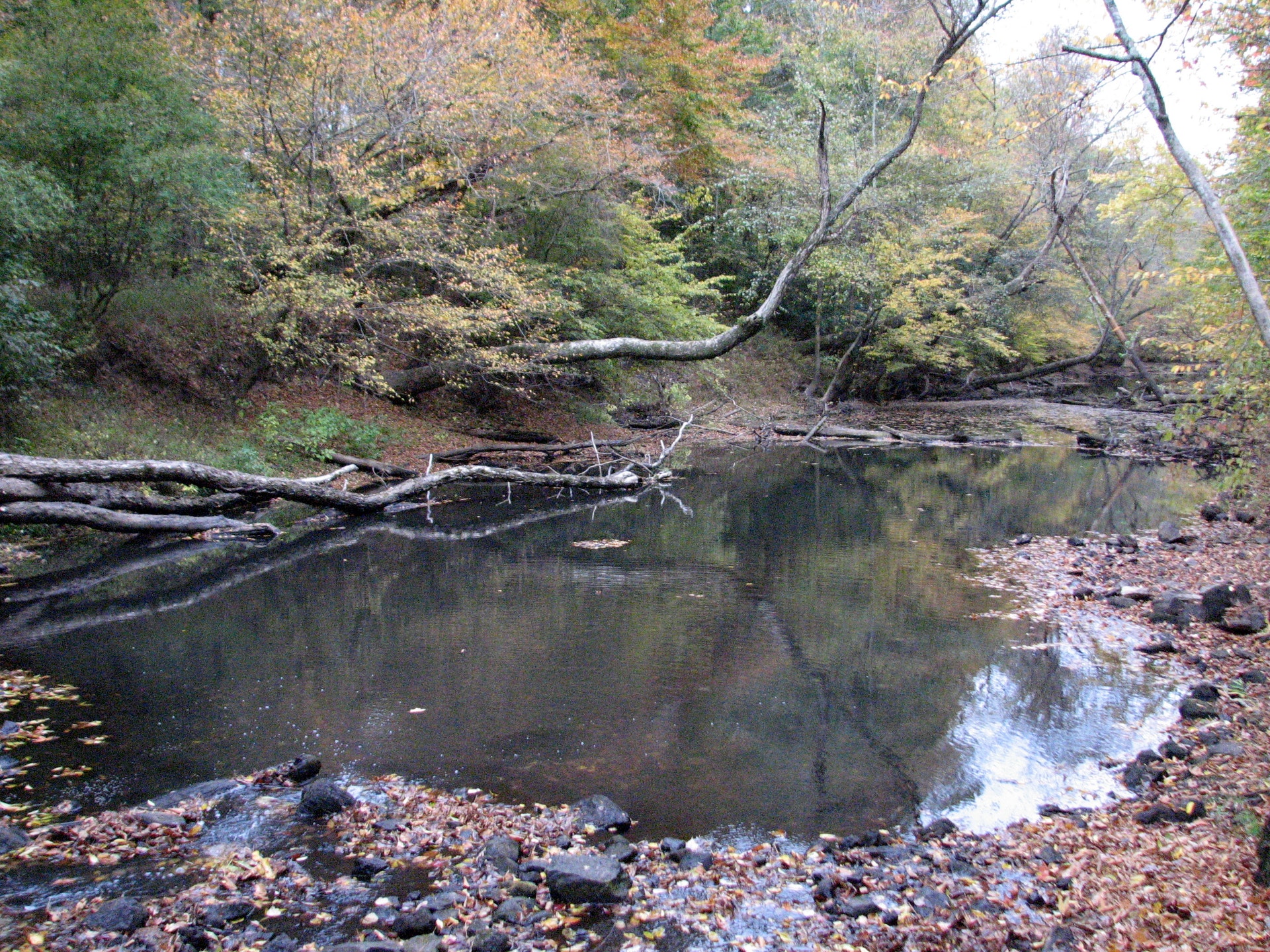