TALCOTT MOUNTAIN STATE PARK
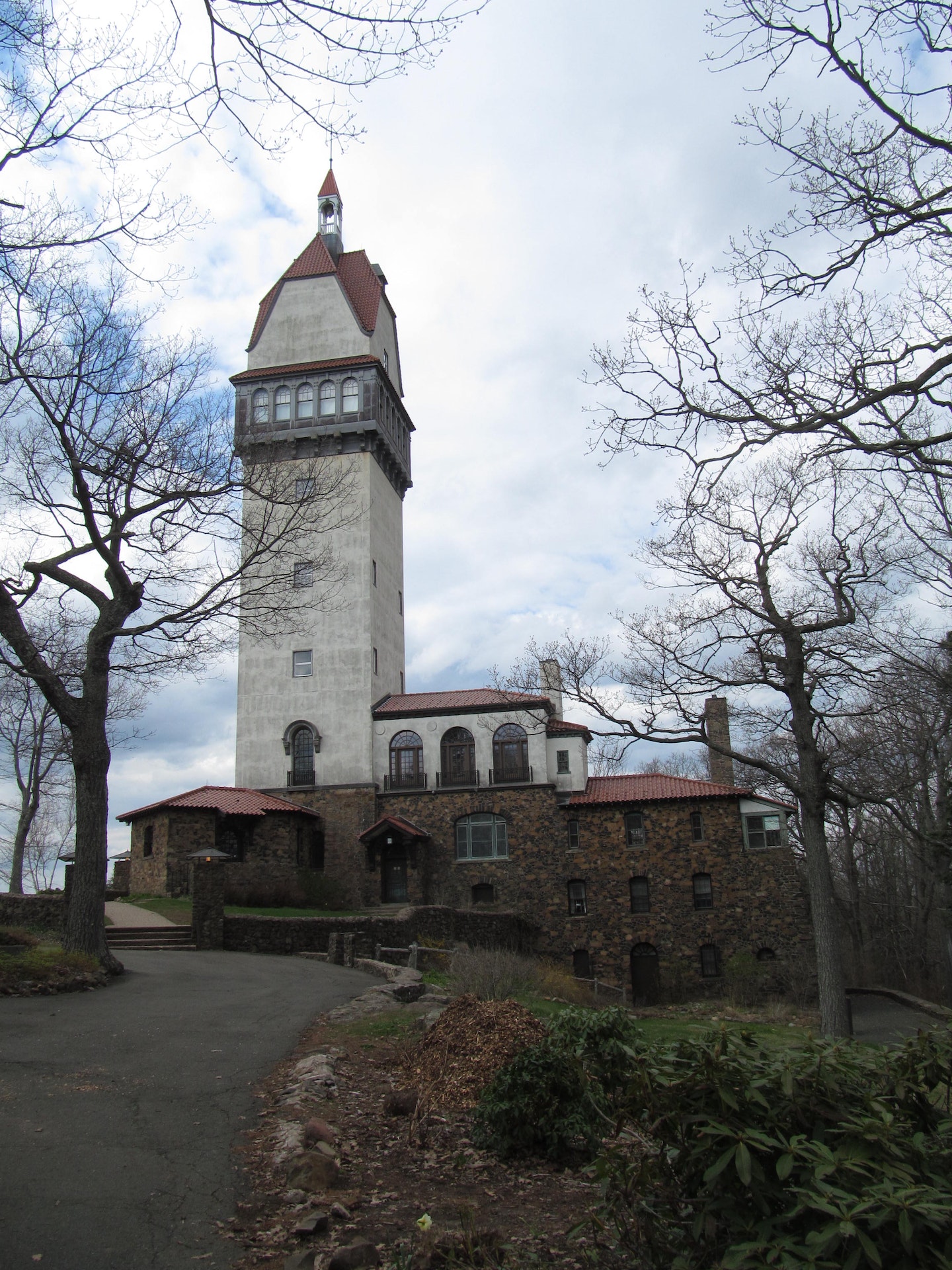
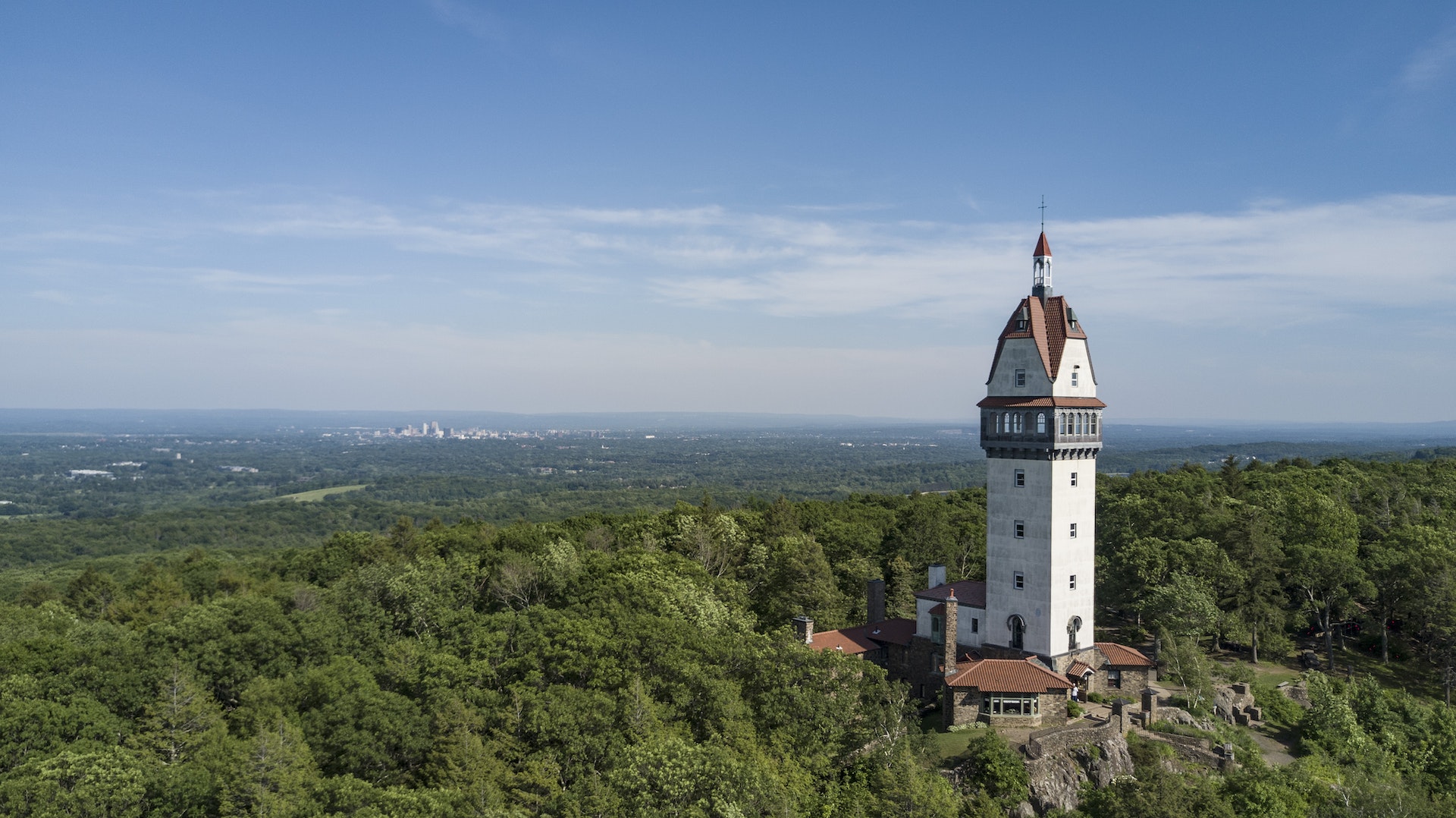
The familiar Farmington River Valley landmark of Heublein Tower sits atop Talcott Mountain, a long, precipitous wooded ledge named after the Talcott family. The 165-foot structure was built as a summer home in 1914 by Gilbert Heublein. In the early fifties, two future presidents were guests of the Hartford Times, then General Dwight D. Eisenhower and Ronald Reagan, then president of the Screen Actors' Guild. Following a period of ownership of the property by the Hartford Times during WWII and the early 1950's, it was slated for residential development by a private corporation when the 557 acres of Talcott Mountain came under public ownership in 1965 through the cooperative efforts of private conservationists and state and federal governments.
The 1,000-foot high promontory provides a splendid view of the Connecticut landscape. On the horizon, Mount Monadnock, eighty miles away in New Hampshire, is discernible. To the northwest, the Berkshires dominate the horizon. Long Island Sound is revealed as a thin blue streak to the south. Those with sharp vision can see an area estimated to be 1,200 square miles.
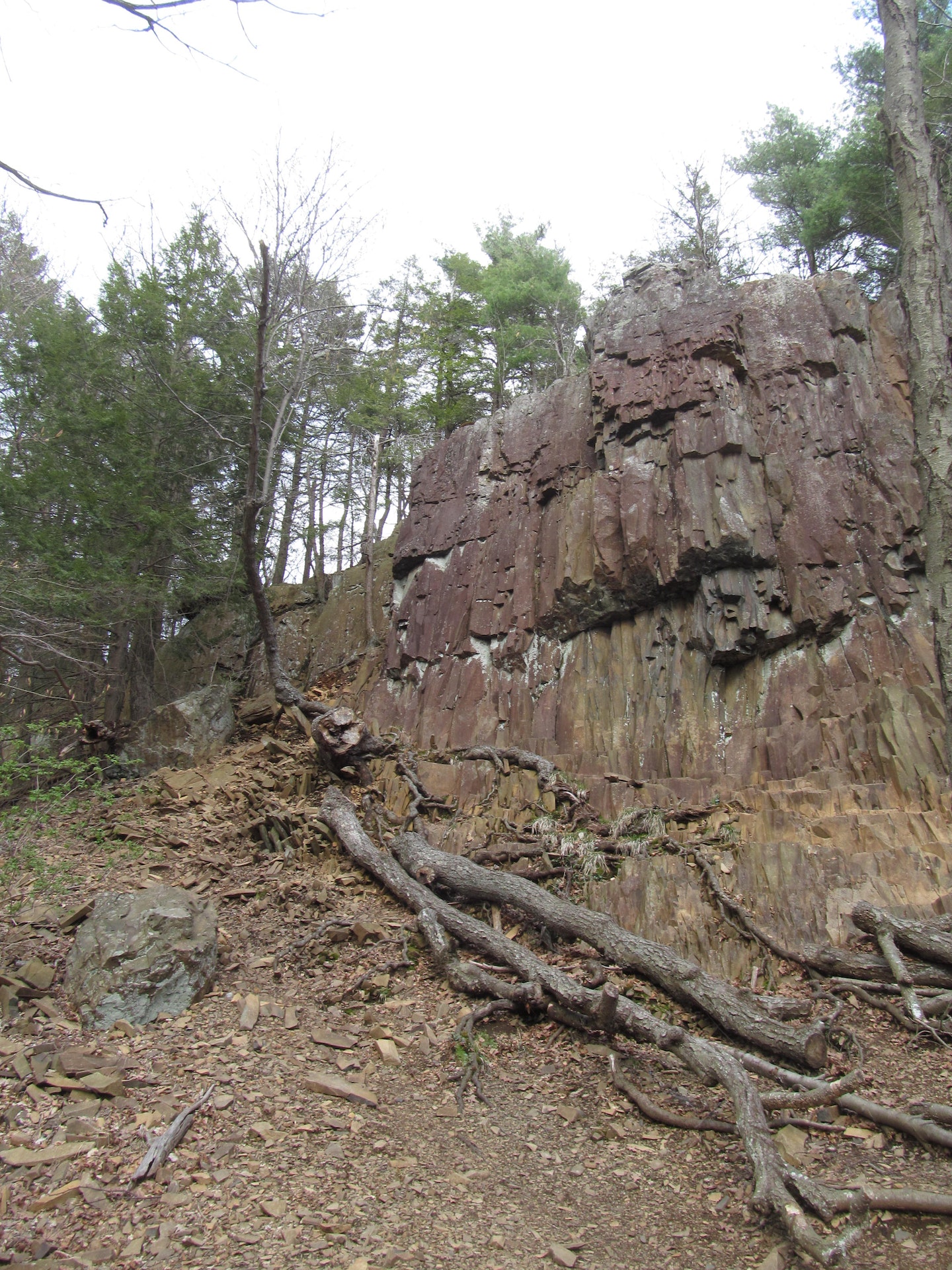
Hikers may encounter a variety of wildlife including deer, fox and rabbits in this natural sanctuary. Bird watchers enjoy occasional sightings of the turkey vulture, bald eagle, and pileated woodpecker. During May, visitors find wildflowers such as trillium, trout lily, wood anemone, and Dutchman's breeches among the damp, craggy rocks. Tables, grills, and toilets are available for picnickers.
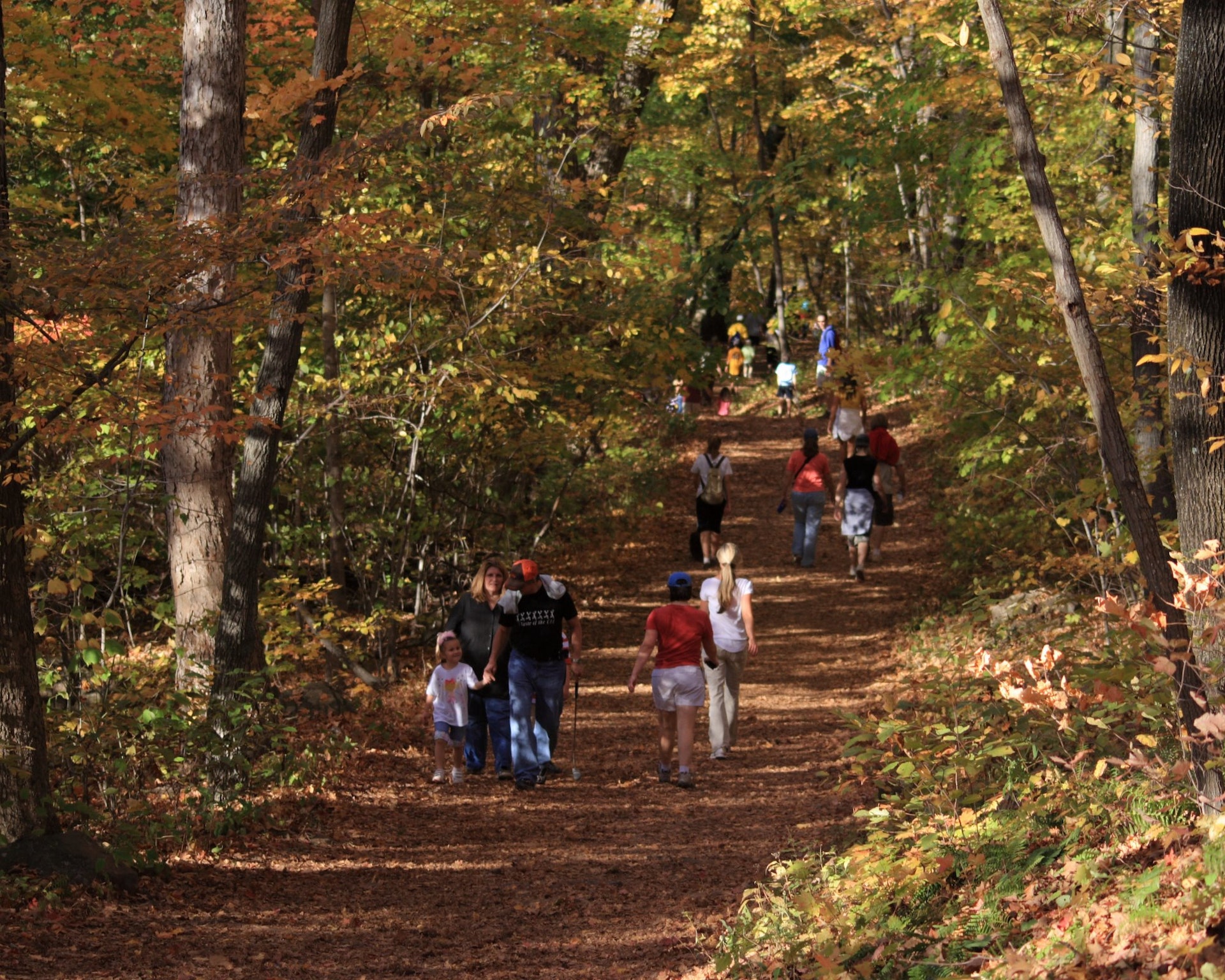
The Tower Trail is 1.25 miles long a walk to the Tower takes approximately 30 - 40 minutes. Also running through the park is a section of the Metacomet Trail, developed and maintained with volunteer assistance by the Connecticut Forest and Park Association.
The Heublein Tower historic home and museum is accessible by walking trail only. The trail is 1.25 miles long.
The museum is open seasonally from 10 am to 5 pm. Pets, food, drink, and walking sticks are not allowed in the museum. Please call the park office for specific hours at 860-242-1158.
Groups larger than 20 visiting the museum are asked to call the park office at 860-242-1158 to make arrangements in advance. Picnic tables, grills, bathrooms, and water are available on the grounds.
Trash containers are not provided, please carry out what you have carried in.
Connecticut has made state parks, forests, trails, historic sites and beaches more accessible to our residents so they can enjoy the many attractions and beauty they offer. Under the Passport to the Parks program, parking fees are now eliminated at Connecticut State Parks for those with Connecticut registered vehicles. You can view the
CONNECTICUT PASSPORT TO THE PARKS web page to learn more.


 Share Your Talcott Mountain State Park Photos (click here)
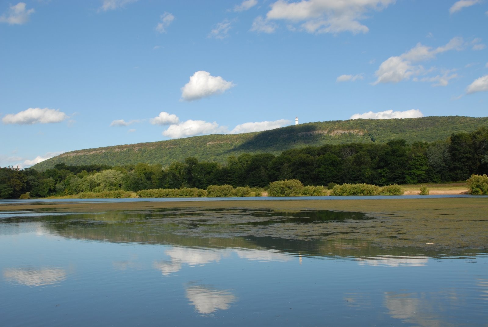