TOIYABE NATIONAL FOREST
The Toiyabe National Forest is a sprawling expanse of natural beauty that spans over 3.1 million acres across the state and into California. It boasts an array of diverse landscapes including towering mountain ranges such as the Sierra Nevada and Great Basin Ranges, lush alpine meadows teeming with wildflowers during springtime, dense forests filled with pine trees along higher elevations while sagebrush dominates lower areas. The forest also offers numerous recreational activities like hiking on its extensive trail system which includes part of Pacific Crest Trail or fishing in one among many streams flowing through it; wildlife viewing opportunities are abundant too featuring species from mule deer to golden eagles.


 Share Your Toiyabe National Forest Photos (click here)
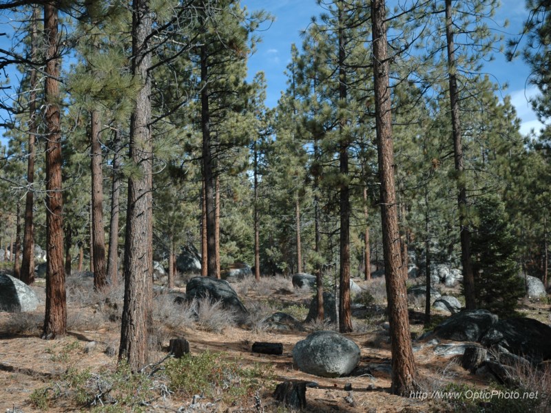