WHITE OAK LAKE STATE PARK
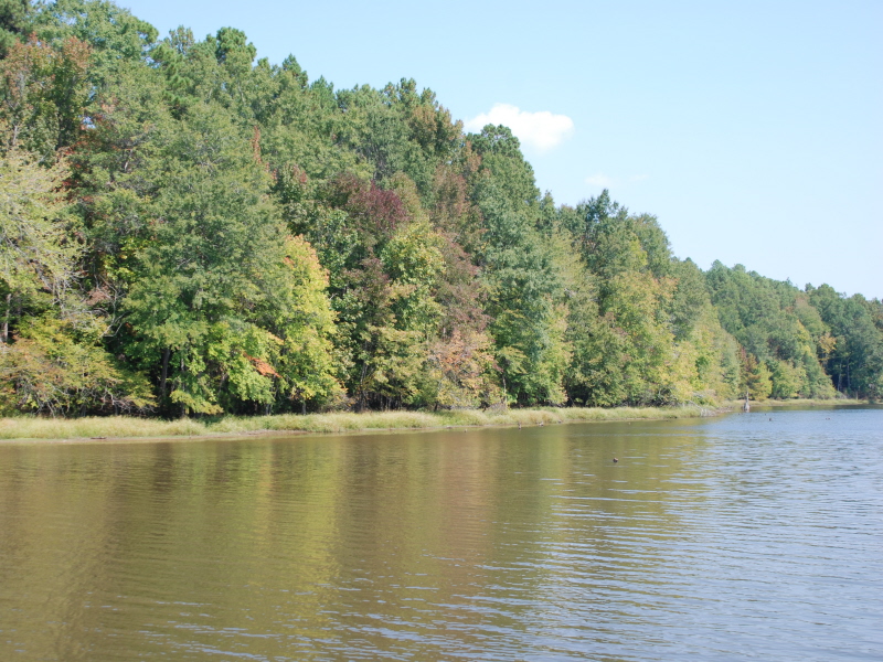
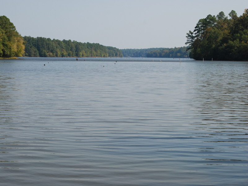
Adjacent to Poison Spring State Forest, this park lies on the shore of White Oak Lake, 2,765 timber-filled acres for bass, crappie, catfish and bream fishing. Rich in wildlife, the park offers regular sightings of great blue heron, egret, osprey and green heron, and in winter, bald eagles.
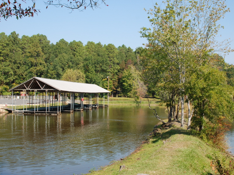
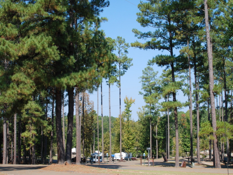
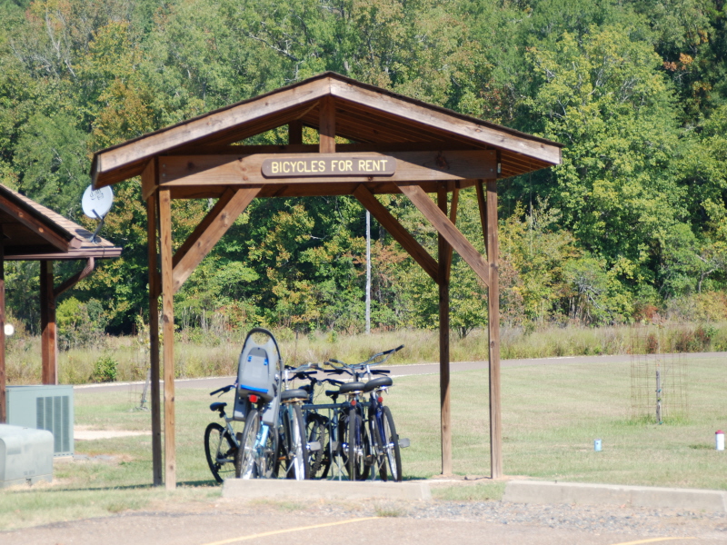
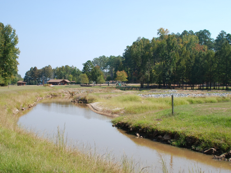
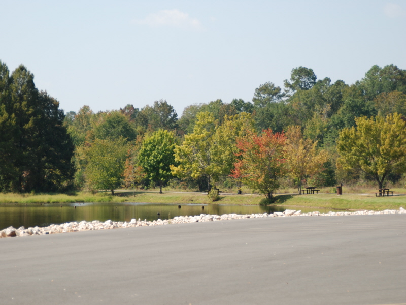
Park facilities include 45 campsites (Preferred B, Standard B and Tent sites); a store with supplies, bait and gifts (open throughout the year); marina with boat rentals; launch ramp; barrier-free fishing pier; standard pavilion; picnic sites; trails and a playground. The visitor center includes exhibits, a CD interactive program and bicycle rentals.
Anglers can enjoy fishing from the bank or by boat, with options for bass, crappie, bream, and catfish.
White Oak Lake State Park is located near Camden
White Oak Lake State Park offers scenic picnic areas with tables and grills overlooking the tranquil White Oak Lake.
BEECH RIDGE TRAIL : Length: 2 miles : Time: 1 1/2 hours : Difficulty: Easy
Description: Beginning among bottomland hardwoods, this loop trail climbs to a loblolly pine forest. Along the trail, beech and hickory predominate. Transition of forest and ecosystem types is the dominant theme of this scenic trail.
Location: From I-30 at Prescott, travel 20 miles east on Hwy. 24, then approximately 100 yards south on Hwy. 299, then 2 miles southeast on Hwy. 387
COASTAL PLAIN TRAIL : Length: 3 miles : Time: 3 hours : Difficulty: Moderate
Description: This trail is a three mile spur from the southeast corner of the Beech Ridge Trail. You should allow at least 1 1/2 hours to complete the entire loop. The trail gets its name from the geographic region in which White Oak Lake State Park is located -- The Gulf Coastal Plain Region. Blue blazes mark the route. The Coastal Plain Trail meanders through some of southern Arkansas's most unique terrain. In this terrain you'll see the unusual plant life of the sandhills, including fascinating memeber of our woody flora.
Location: From I-30 at Prescott, travel 20 miles east on Hwy. 24, then go 100 yards south on Hwy. 299, then go two miles southeast on Hwy. 387.
SPRING BRANCH TRAIL : Length: 1/3 mile : Time: 1 hour : Difficulty: Easy
Description: The self-guided Spring Branch Trail trailhead is located in the picnic area below the pavilion. This trail takes you on a path through the park showing you some wonderful examples of Arkansas's trees.
Location: From I-30 at Prescott, travel 20 miles east on Hwy. 24, then go 100 yards south on Hwy. 299, then go two miles southeast on Hwy. 387
From I-30 at Prescott, travel 20 miles east on Ark. 24, then go 100 yards south on Ark. 299, then go two miles southeast on Ark. 387.


 Share Your White Oak Lake State Park Photos (click here)