ROXBOROUGH STATE PARK
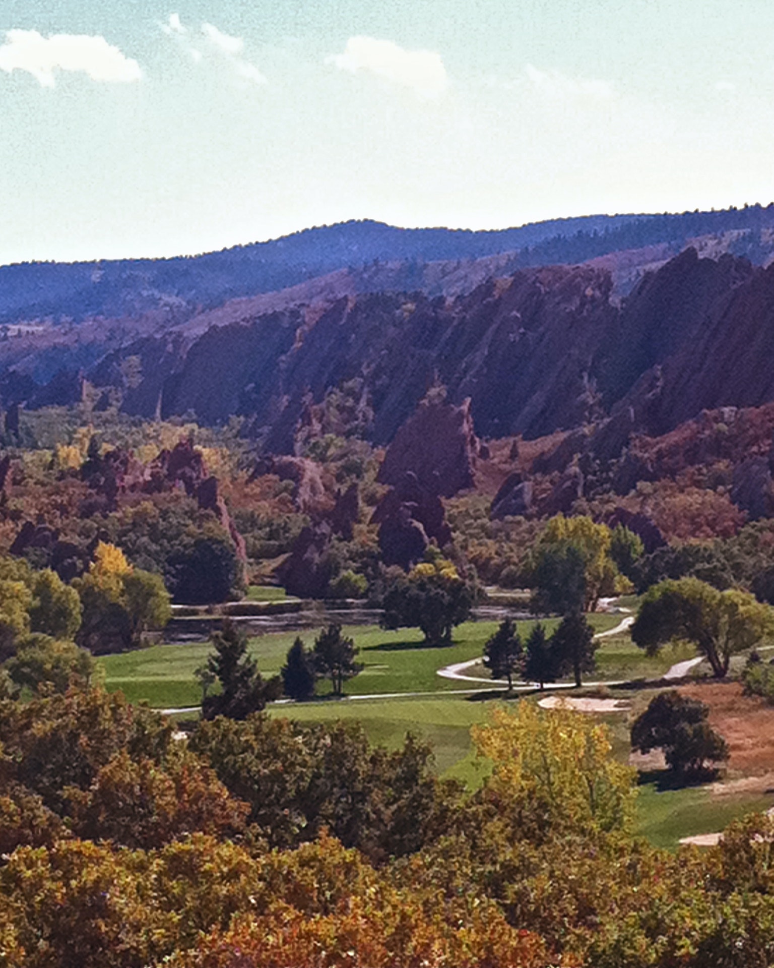
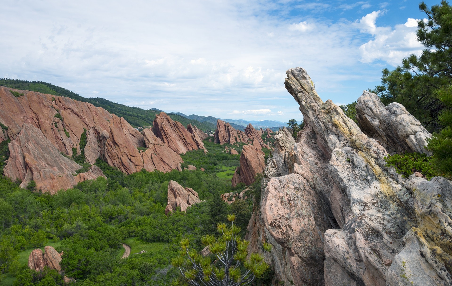
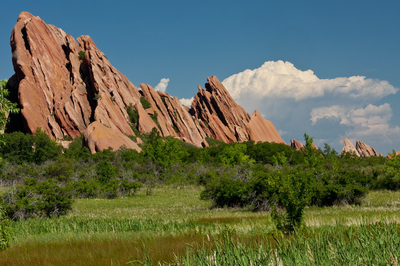
With close to 4000-acres, Roxborough State Park is filled with dramatic red-rock formations, distinct plant communities, and a variety of wildlife ranging from black bears to mule deer. Enjoy hiking, wildlife viewing, trail running, photography, bird watching, or one of our many programs and events.
To preserve Roxborough's natural resources, no pets, drones, camping, mountain bikes, horses, rock climbing, fires, or marijuana are permitted in Roxborough State Park.
All Colorado State Parks have entrance fees. All vehicles are required to have an entrance pass and some parks have walk-in fees. Visit the
Colorado Park Entrance Pass web page.
The Visitor Center has a small gift shop/book store, interpretive displays, rest rooms, and an auditorium. Stop by and watch our introductory DVD Footprints of Past Present. This presentation beautifully explains the trails, flora, and fauna of the park.


 Share Your Roxborough State Park Photos (click here)
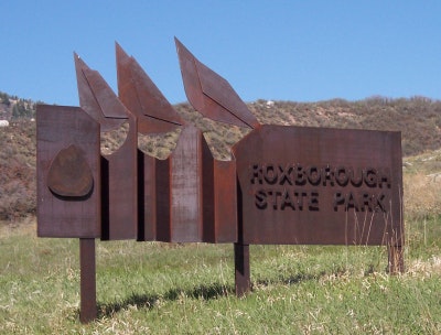