GUY W. TALBOT STATE PARK
Guy W. Talbot State Park also called Latourell State Park is a peaceful picnic site located on the Historic Columbia River Highway across from the trail to Upper Latourell Falls.
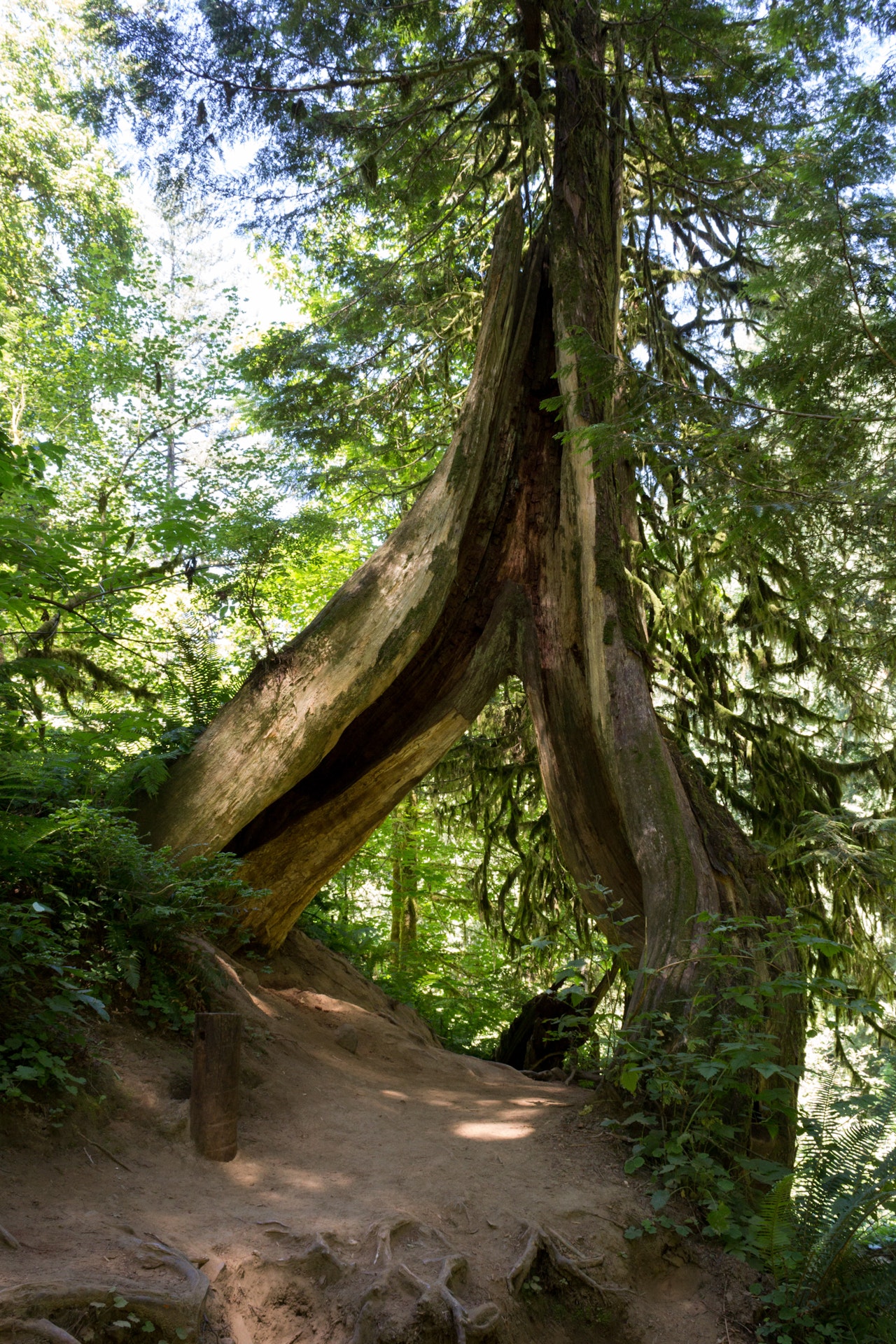
The secluded park is often uncrowded even on the best days. A modern picnic shelter is available for rent. A gently sloping grassy hill dotted with Port Orford cedars, Douglas-firs, alders and maples invites frisbee tossing and quiet relaxation.
Visitors can take a short walk underneath an historic 1914 bridge to the base of Lower Latourell Falls, a 224-foot plunge over columnar basalt splashed with chartreuse-colored lichen.
Guy Webster Talbot and his family used this property as a summer estate until 1929 when they donated it to the state. The tiny town of Latourell borders the north side of the park. Homeowners ask that visitors please respect their privacy.
The upper falls and part of the trail are part of George W. Joseph State Natural Area, named for the family that gave the land to the state in 1934 and 1942.


 Share Your Guy W. Talbot State Park Photos (click here)
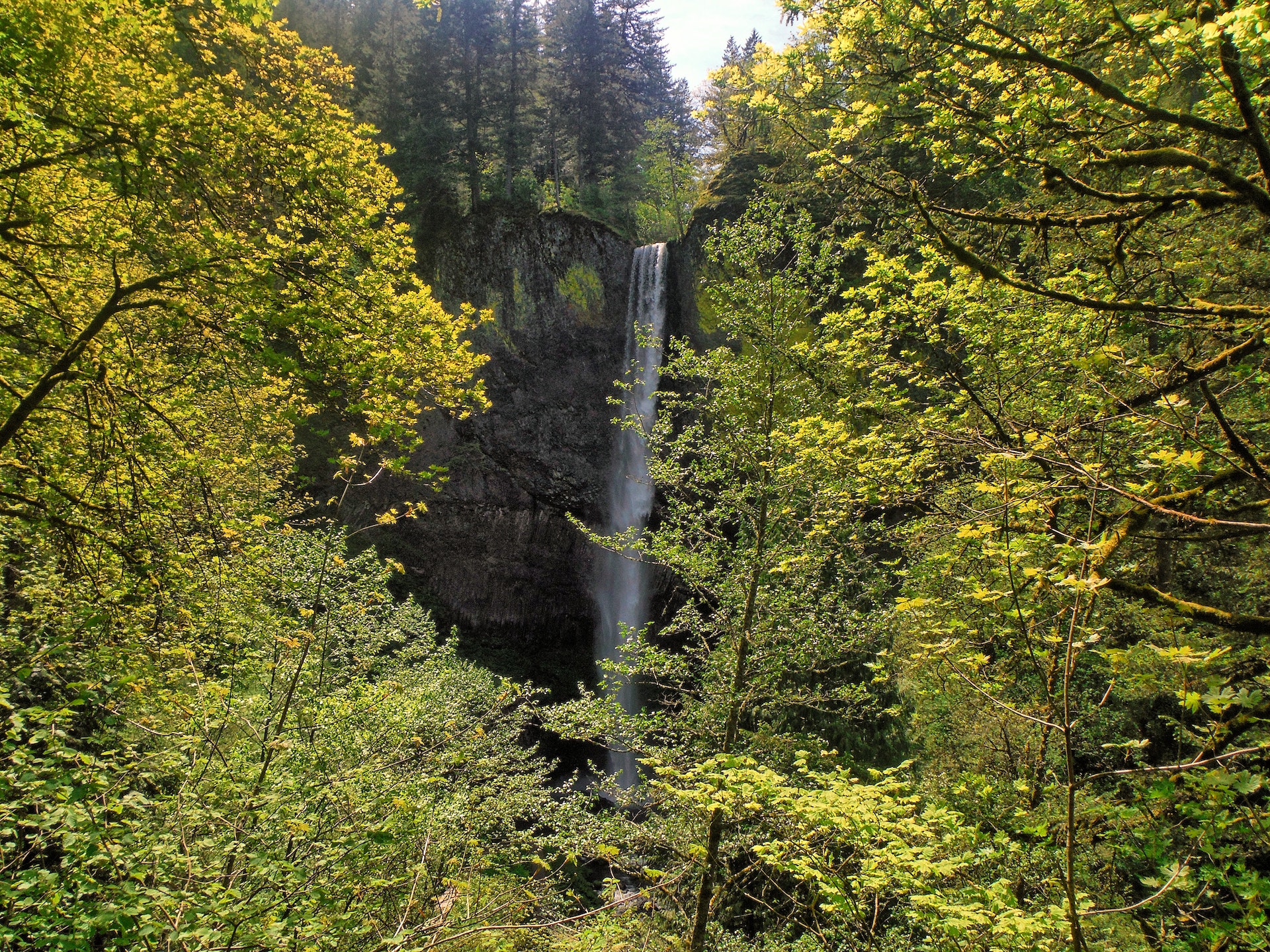