ZMUDOWSKI BEACH STATE PARK
The beach is a popular fishing area, featuring perch, kingfish, sole, flounder, halibut, bocaccio (tomcod), jacksmelt, lingcod, cabezon, salmon, steelhead and occasional rockfish.
The beach features the Pajaro River estuary, where a natural preserve has been set aside.
The sandy beach is also popular with bird watchers and equestrians. Horses are only allowed near the waterline. Swimming and water sports are hazardous because of strong rip-currents.


 Share Your Zmudowski Beach State Park Photos (click here)
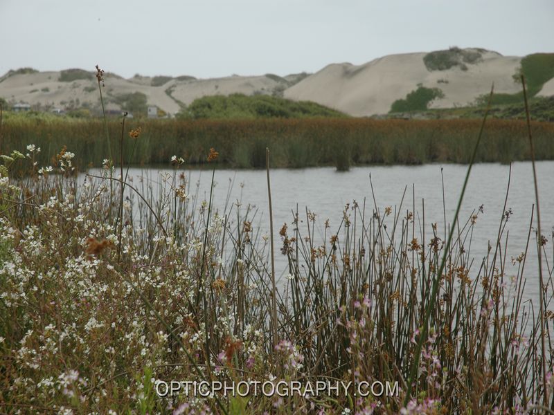