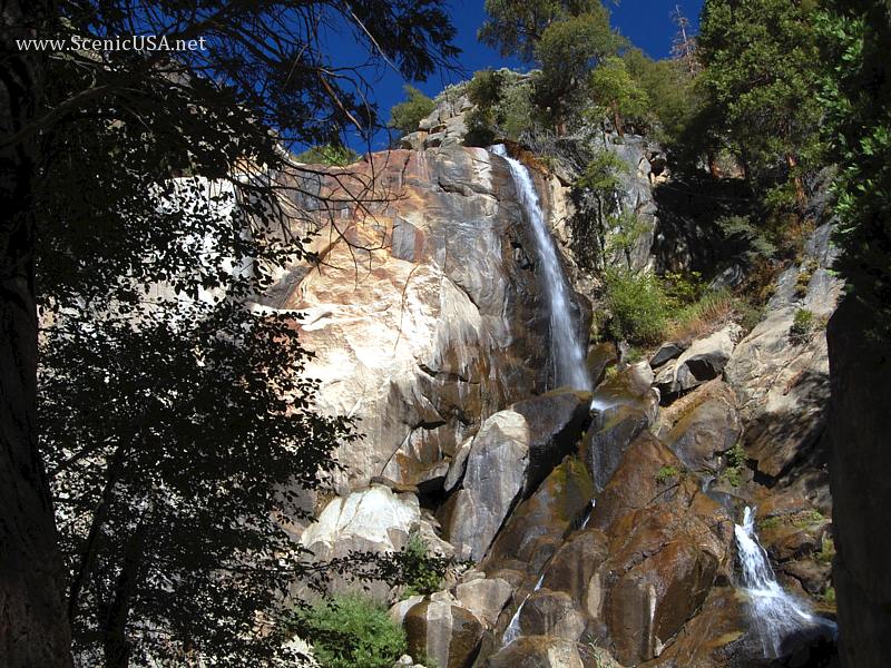
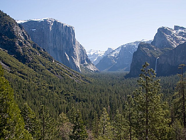
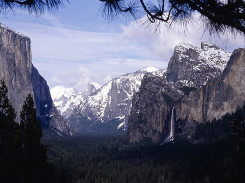
This beautiful park features redwoods, conifers, oaks, sycamores, cottonwoods, maples, alders and willows - plus open meadows. Wildlife includes black-tail deer, gray squirrels, raccoons, skunks, and birds, such as water ouzels and belted kingfishers. Hikers can enjoy the many scenic trails, including ........
more >


 indicates parks that show reservation availability
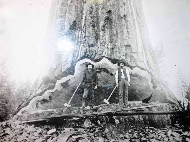