state route ranger badge
Virginia
301

Virginia State Parks

responsive menu icon
USA Parks
Virginia
Shenandoah Valley Region
Find A Park
Campsite Availability
start slideshow
Douthat State Park © Marilyn Dishman
Shenandoah National Park © Robin Kirby
Douthat State Park © Rosallyne A Loreti
Shenandoah National Park Black Bear © BILL HUNTER
Black Bear in Elkwallow pinic area searching for food
Douthat State Park © Marilyn Dishman
Shenandoah National Park © Robin Kirby
Grayson Highlands State Park © Jim Oakley
Chincoteague National Wildlife Refuge Hanging in there © John Laurie
Downey woodpecker looking for lunch
Douthat State Park © Rosallyne A Loreti
Search
Availability
Calendars
Availability Search
Virginia's Shenandoah Valley Region
Whether you are looking for breathtaking scenery, a host of outdoor activities, or Civil War battlefields, the Shenandoah Valley Region is a symphony of all, much like a siren's song that will not fail to lure us into returning. This region is found in northwestern Virginia and is part of the Great Appalachian Valley, roughly extending from the City of Winchester to what is known as the Natural Bridge where George Washington once carved his initials. Its major cities are Winchester, Harrisonburg, Staunton, and Lexington and runs from north to south along the I-81 and U.S. Route 11 corridor.

This region demonstrates a mix of overlapping eras of history. Shenandoah or daughter of the stars not only has a wealth of history above ground but is also laced with historically significant caverns below, including the well-known Luray Caverns. Healing waters of sulfur springs held sacred by Native Americans hundreds of years ago are still marked by spring in their names, such as Augusta Springs, Falling Springs, or Hot Springs. Buffaloes used to graze in the valley. Hard to imagine that this place of majestic mountainous beauty rang with the sound of war, was stained by the blood of Civil War soldiers, and devastated by numerous battles. Possession passed back and forth between North and South throughout the war, and the valley was beaten beyond recognition. Fully recovered today, battlefields can only be found by markers which identify them.

Side trips outside of the state's recreational areas can be fun-filled additions to round out your state park experience. Discover lessor known places of interest, such as Country Singer Patsy Cline's grave south of Winchester on Route 664. Then add activities such as museums and festivals, and your travel experiences in this region will never be forgotten.

Regional Overviews provided by Sharon K Grossman

1
National Forest
1
State Fish Hatchery
2
National Parks
1
State Forest
4
State Parks
Parks in this region are near these Virginia Cities (click city name to see parks within 25 miles)
ROANOKE
FRONT ROYAL
WINCHESTER
STEPHENS CITY
VINTON
Cedar Creek and Belle Grove National Historical Park
The Shenandoah Valley invites you to learn about its rich heritage, from Native Americans who first shaped the land, to pioneers of this frontier this fertile area became one of the most important wheat producing regions of the entire South. The Valley also witnessed some of the most dramatic events ........more >
Coursey Springs State Fish Hatchery
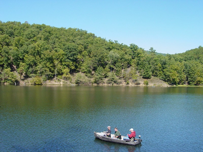
This fish hatchery is located adjacent to the Cowpasture River. In addition to numerous trout wells, this site offers large ponds, naturalized fishing areas, creekside habitats, riparian corridors and open fields. Green and great blue herons can often be found wading in shallow waters, especially in ........more >
Douthat State Park
Editors of the 1999 Outside Family Vacation Guide, a summer planner, have named Virginia's very own Douthat State Park one of the nation's 10 best. It's on the National Register of Historic Places and straddles Bath and Alleghany counties. Douthat was one of the original six Virginia State Parks ........more >
George Washington National Forest
........more >
Natural Bridge State Park
The 37th state park was dedicated on September 24, 2016, and was listed on the National Register of Historic Places as a National Historic Landmark in 1988. The 215-foot tall Natural Bridge is a limestone gorge carved out by Cedar Creek. The park is more than just the bridge beautiful forests and rolling ........more >
Paul State Forest
Elevation 1420 ft. Paul State Forest serves as an island of forest in a sea of farmland. The trees host a variety of common woodland species. Area regulars include red-bellied, downy, and hairy woodpeckers, and the occasional pileated and red-headed woodpeckers drop in sporadically. Forest diversity ........more >
Seven Bends State Park
Seven Bends State Park is a day-use park located in the geographically unique Seven Bends area of the North Fork of the Shenandoah River. Seven Bends State Park provides public access to the North Fork of the Shenandoah River and features two hand-carry boat launches, picnic areas, one single family-sized ........more >
Shenandoah National Park
Shenandoah National Park lies astride a beautiful section of the Blue Ridge Mountains, which form the eastern rampart of the Appalachian Mountains between Pennsylvania and Georgia. The Shenandoah River flows through the valley to the west, with Massanutten Mountain, 40 miles long, standing between the ........more >
Shenandoah River State Park
Shenandoah River Raymond R. Andy Guest Jr. State Park ison the South Fork of the Shenandoah River and has more than 1,600 acres along 5.2 miles of shoreline. The park opened in June 1999. In addition to the meandering river frontage, the park offers scenic views of Massanutten Mountain to the west and ........more >
Visit Another Virginia Region

state route ranger badge
Virginia
301

Virginia State Parks

X